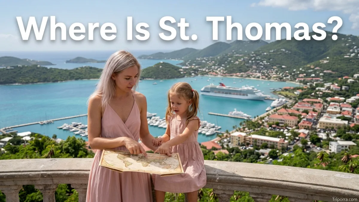
It is an island in the U.S. Virgin Islands in the Caribbean Sea. It lies east of Puerto Rico and west of the British Virgin Islands. It is part of the United States Virgin Islands, a U.S. territory. Charlotte Amalie, located on the island, is the capital of the U.S. Virgin Islands.
Introduction
Where is St. Thomas? It is in the northeastern Caribbean, within the Virgin Islands. The island sits east of Puerto Rico and near the British Virgin Islands.
More specifically, it belongs to the U.S. Virgin Islands, which is a U.S. territory. Along with St. John and St. Croix, it forms one of the main island groups under U.S. administration in the Caribbean.
For a simple mental map, place Puerto Rico to the west, it in the middle, and the British Virgin Islands to the east. Charlotte Amalie, the territory’s capital, sits on the southern side of it .
Quick Facts About St. Thomas

| Fact | Information |
|---|---|
| Location | Caribbean Sea |
| Island Group | Virgin Islands |
| Territory | U.S. Virgin Islands |
| Political Status | Unincorporated U.S. territory |
| Country Association | United States |
| Region | Caribbean |
| Continent | North America |
| Main City | Charlotte Amalie |
| Coordinates | About 18.34° N, 64.93° W |
| Nearby Island | St. John |
| Nearby Territory | British Virgin Islands |
| Main Airport | Cyril E. King Airport (STT) |
| Time Zone | Atlantic Standard Time (UTC−4) |
Where Is St. Thomas Located?
It is located in the Caribbean Sea, within the Virgin Islands. Geographically, it sits in the northeastern part of the Caribbean region.
Puerto Rico is located to the west, while the British Virgin Islands lie to the east. Meanwhile, St. John is just southeast of it , making it one of the island’s closest neighbors.
The island is positioned at approximately 18.34° north latitude and 64.93° west longitude. As a result, its location falls clearly within the Caribbean region of North America.
What State Is St. Thomas In?
It is not located in a U.S. state.
Instead, it is part of the U.S. Virgin Islands, an unincorporated territory of the United States. Therefore, the correct answer to “What state is St. Thomas in?” is that it is not part of any state.
The U.S. Virgin Islands include three main islands: St. Thomas, St. John, and St. Croix. Charlotte Amalie, on it , serves as the territorial capital.
This political status can be confusing. Geographically, it is in the Caribbean, while politically, it belongs to a U.S. territory.
Where Is St. Thomas in the Caribbean?
It lies in the eastern Caribbean, within the Virgin Islands chain.
To picture its position, start with Puerto Rico. From there, travel east across the Caribbean Sea and you reach the Virgin Islands. It sits toward the western side of this island group.
St. John is nearby to the southeast. Further east are the British Virgin Islands, including Tortola. Farther south is St. Croix, another major island of the U.S. Virgin Islands.
Therefore, the island’s location can be summarized simply:
- West: Puerto Rico
- East: British Virgin Islands
- Southeast: St. John
- South: St. Croix
- North: Atlantic Ocean
Where Is St. Thomas Compared With Puerto Rico?
It is east of Puerto Rico.
Puerto Rico provides one of the easiest reference points for understanding the island’s location. Although both places are in the Caribbean, they are separated by open water.
Depending on the exact points being measured, the distance between Puerto Rico and it is roughly 60 to 80 miles. For example, the distance from San Juan to it is commonly listed at around 67 miles by air.
Thus, travelers looking at a Caribbean map can locate St. Thomas by finding Puerto Rico first and then moving east.
What Is St. Thomas Near?
Several Caribbean islands and territories are located close to it . The nearest important places include:
St. John
St. John lies just southeast of St. Thomas. Both islands belong to the U.S. Virgin Islands, and their close geographic relationship makes travel between them common.
Tortola
Tortola is the largest island in the British Virgin Islands. It sits east of St. Thomas and is one of the closest major islands outside the U.S. Virgin Islands.
St. Croix
St. Croix belongs to the U.S. Virgin Islands as well. However, it sits farther south than St. Thomas and St. John.
Puerto Rico
Puerto Rico is the largest nearby island. It lies west of it and provides an important reference point for locating the U.S. Virgin Islands.
As a general guide, Tortola is about 29 miles from St. Thomas by air, while St. Croix is about 45 miles away. San Juan, Puerto Rico, is roughly 67 miles away by air. Exact distances vary depending on the points used.
Where Is Charlotte Amalie?
Charlotte Amalie is the capital of the U.S. Virgin Islands and the main city on it .
The city sits on the southern side of the island and serves as an important center for government, transportation, and commerce.
Because Charlotte Amalie is the territorial capital, many maps and travel references use the city when identifying St. Thomas. The island’s main airport, Cyril E. King Airport, is also located close to the city.
For that reason, knowing Charlotte Amalie helps you understand where St. Thomas is on a Caribbean map.
Where Is St. Thomas on a Map?
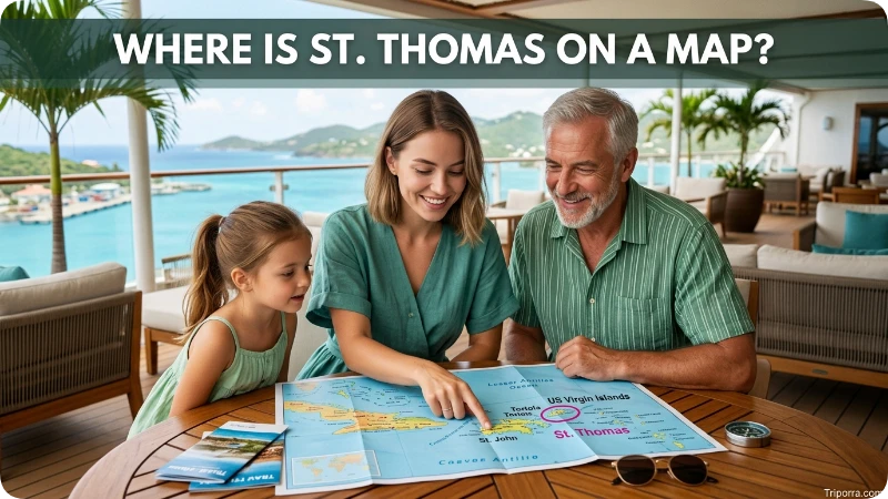
On a map of the Caribbean, first locate Puerto Rico. Next, look east toward the Virgin Islands. It appears near the western side of the island group.
A simple mental map looks like this:
Puerto Rico → St. Thomas → British Virgin Islands
St. John sits just southeast of it . Meanwhile, St. Croix is farther south.
This arrangement makes the island easier to identify without relying on exact coordinates. In short, it is east of Puerto Rico and west of the British Virgin Islands.
What Region Is St. Thomas In?
It can be described using several geographic levels:
| Geographic Level | Location |
|---|---|
| Island | St. Thomas |
| Island Group | Virgin Islands |
| Territory | U.S. Virgin Islands |
| Region | Caribbean |
| Broader Region | West Indies |
| Continent | North America |
These descriptions are not contradictory. Instead, they describe the island at different geographic levels.
For example, it is an island in the Virgin Islands, part of the U.S. Virgin Islands, located in the Caribbean region of North America.
How Far Is St. Thomas From Nearby Places?
Distances depend on the exact starting points. Therefore, the figures below are approximate rather than exact road or sea distances.
| Nearby Place | Approximate Distance or Direction |
|---|---|
| St. John | Just southeast of St. Thomas |
| Tortola | About 29 miles east |
| St. Croix | About 45 miles south |
| San Juan, Puerto Rico | About 67 miles west |
| Puerto Rico | Roughly 60–80 miles west, depending on the points measured |
These estimates are most useful as geographic comparisons. Actual travel distances can differ because air, sea, and point-to-point measurements use different routes.
How Do You Get to St. Thomas?
The main airport serving St. Thomas is Cyril E. King Airport (STT).
It is located on the western side of Charlotte Amalie. The airport provides the island’s main commercial air connection and is an important entry point for visitors and residents.
St. Thomas also has maritime connections with nearby islands. Because St. John, Tortola, and other Caribbean destinations are close by, ferry and boat routes are important parts of the island’s regional transportation network.
Is St. Thomas Part of the United States?
Yes. It is part of the United States Virgin Islands, which is a U.S. territory.
However, it is important to distinguish a U.S. territory from a U.S. state. St. Thomas is not one of the 50 states.
The island therefore has a unique geographic and political position. It is located in the Caribbean but is politically associated with the United States through the U.S. Virgin Islands.
What Is the Main Airport in St. Thomas?
The main airport is Cyril E. King Airport, also known by its airport code STT.
The airport is located near Charlotte Amalie on the western side of St. Thomas. It serves as the island’s primary commercial airport and provides connections to other Caribbean destinations and the mainland United States.
For someone trying to identify it on a map, the airport is another useful reference point.
FAQs
Is it in the Caribbean?
Yes. It is an island in the Caribbean Sea and forms part of the Virgin Islands.
Is it part of the United States?
Yes. It belongs to the U.S. Virgin Islands, an unincorporated U.S. territory. It is not part of a U.S. state.
What state is St. Thomas in?
It is not in a state. Instead, it is one of the main islands of the U.S. Virgin Islands.
Where is it compared with Puerto Rico?
It is east of Puerto Rico. San Juan, Puerto Rico, is roughly 67 miles away by air, although the exact distance depends on the points being compared.
Is it near the British Virgin Islands?
Yes. The British Virgin Islands are directly east of it . Tortola, the largest island in the British Virgin Islands, is about 29 miles away by air.
What islands are near St. Thomas?
St. John is immediately southeast of it . Tortola is east, while St. Croix is farther south. Puerto Rico is west of the island.
What is the capital of St. Thomas?
Charlotte Amalie is the main city on it and serves as the capital of the U.S. Virgin Islands.
What continent is St. Thomas on?
It is geographically part of North America. The Caribbean region is generally considered part of the North American continent.
What airport serves St. Thomas?
Cyril E. King Airport, with the code STT, is the main airport serving St. Thomas.
Is St. Thomas an island or a country?
It is an island, not a country. It is part of the U.S. Virgin Islands.
Is St. Thomas east or west of Puerto Rico?
It is east of Puerto Rico. This is one of the simplest ways to locate it on a Caribbean map.
Conclusion
So, where is it ? It is an island in the U.S. Virgin Islands in the Caribbean Sea, located east of Puerto Rico and west of the British Virgin Islands.
The island is not part of a U.S. state. Instead, it belongs to a U.S. territory and sits within the Virgin Islands archipelago. Charlotte Amalie is its main city and the capital of the U.S. Virgin Islands.
For a quick mental map, remember: Puerto Rico is west, it is in the middle, and the British Virgin Islands are east.

Silas Vance is a geography enthusiast, travel researcher, and location-focused content writer dedicated to helping readers better understand the world around them on triporra.com. He specializes in creating informative guides about cities, countries, islands, landmarks, universities, and other notable destinations. His work combines geographic accuracy, historical context, and practical insights to answer location-based questions in a simple and engaging way.