Introduction
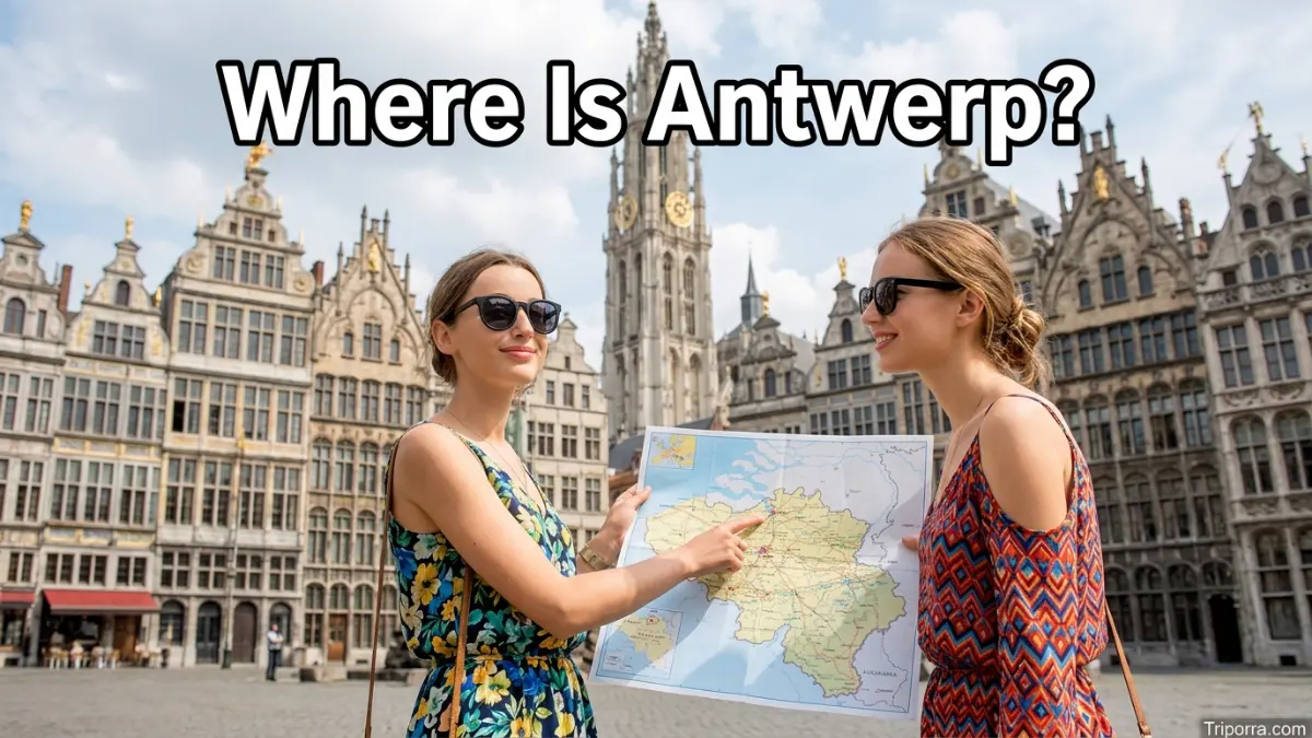
It is a city in northern Belgium, in the Flemish Region. It is the capital of it Province and lies along the Scheldt River, close to Belgium’s northern border with the Netherlands. Antwerp is about 25 miles (40 km) north of Brussels and about 50 miles (80 km) south of Rotterdam, Netherlands. Its location places it in the Low Countries of northwestern Europe.
Featured Snippet Answer
It is a city in northern Belgium, in the Flemish Region and Antwerp Province. It sits on the Scheldt River, about 25 miles north of Brussels and roughly 50 miles south of Rotterdam in the Netherlands. Antwerp is close to Belgium’s northern border and is one of the country’s major cities and port centers.
Quick Facts
| Fact | Information |
|---|---|
| City | Antwerp |
| Country | Belgium |
| Region | Flemish Region |
| Community | Flemish Community |
| Province | Antwerp Province |
| Administrative District | Antwerp Arrondissement |
| River | Scheldt River |
| Geographic Area | Northern Belgium |
| Subregion | Low Countries / Northwestern Europe |
| Approximate Coordinates | 51.22° N, 4.40° E |
| Nearby Capital | Brussels |
| Nearby Major City | Rotterdam, Netherlands |
| Nearby City | Ghent |
| Nearby City | Eindhoven, Netherlands |
| Northern Border | Netherlands |
| Time Zone | Central European Time (CET) / Central European Summer Time (CEST) |
| Continent | Europe |
Where Is Antwerp Located?
It is located in northern Belgium, within the country’s Dutch-speaking Flemish Region. It is also the capital city of Antwerp Province.
On a map of Europe, Belgium sits between France, the Netherlands, Germany, and Luxembourg. It is in the northern part of Belgium, making it much closer to the Netherlands than to Belgium’s southern border with France.
The city is positioned on the Scheldt River, one of the major waterways of the region. The river flows through the city before continuing north toward the Netherlands and the North Sea.
Antwerp’s approximate location is 51.22° north latitude and 4.40° east longitude.
This position gives it a useful geographic relationship with several major European cities. Brussels is to the south, Ghent is generally southwest, Rotterdam is north across the Dutch border, and Eindhoven is east in the Netherlands.
What Country Is Antwerp In?
It is in Belgium, a country in northwestern Europe.
Belgium is bordered by:
- The Netherlands to the north
- Germany to the east
- Luxembourg to the southeast
- France to the south and southwest
Belgium also has a short coastline along the North Sea.
It is in the northern part of the country, so its geographic setting is closely connected with the Netherlands. The Dutch border is only a relatively short distance north of the city.
This northern position also helps explain Antwerp’s strong connection with the wider Low Countries, a geographic area that includes Belgium, the Netherlands, and Luxembourg.
What Region Is Antwerp In?
It is in the Flemish Region, one of Belgium’s three administrative regions.
Belgium is divided into three regions:
- Flemish Region
- Walloon Region
- Brussels-Capital Region
The Flemish Region covers the northern part of Belgium. Dutch is the main official language of the region.
It is one of the largest and most important urban centers in Flanders. The city is also the capital of the province that shares its name, Antwerp Province.
It is important to separate Antwerp city from Antwerp Province. The city is one municipality within the province, while the province covers a much larger area in northern Belgium.
Is Antwerp the Capital of Belgium?
No. It is not the capital of Belgium.
The national capital of Belgium is Brussels, which is located south of it .
It is the capital of Antwerp Province, however. This provincial role is different from being the national capital.
The distinction is useful when reading a map of Belgium:
Belgium → Flemish Region → Antwerp Province → Antwerp city
Brussels has the national capital role, while Antwerp serves as the provincial capital of Antwerp Province.
Where Is Antwerp on a Map?
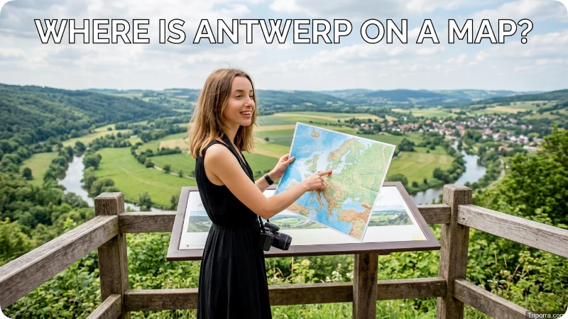
On a map of Belgium, it appears in the northern part of the country, near the Dutch border.
Its position can be understood through a few simple geographic relationships:
- Brussels is south of Antwerp.
- Ghent is southwest of Antwerp.
- The Netherlands is north of Antwerp.
- Eindhoven is northeast of Antwerp.
- Rotterdam is north of Antwerp.
- The North Sea is northwest of Antwerp.
The Scheldt River is another important feature for understanding Antwerp’s location. The river runs through the city and continues north toward the Netherlands and the North Sea.
It therefore has both an inland urban setting and a strong connection to the sea through the Scheldt waterway.
How Far Is Antwerp From Brussels?
It is about 25 miles (40 km) north of Brussels in a straight-line geographic sense.
The two cities are relatively close by European standards. Brussels is the national capital, while it is the largest city in it Province and a major urban center in Flanders.
The direction is simple:
It is north of Brussels.
Because the cities are part of the same relatively compact country, it can be reached from Brussels without crossing an international border.
The two cities also have strong economic, transportation, and administrative connections. Their proximity makes them important parts of Belgium’s urban network.
How Far Is Antwerp From Rotterdam?
It is roughly 50 miles (80 km) south of Rotterdam, depending on the exact points used for the measurement.
Rotterdam is in the Netherlands, so traveling north from it takes you across the Belgian-Dutch border.
The geographic relationship is:
Antwerp → north → Dutch border → Rotterdam
This position is important because it and Rotterdam are both major port cities in the Low Countries. Antwerp’s location on the Scheldt connects it with the North Sea, while Rotterdam lies farther north in the Netherlands near the Rhine-Meuse delta.
Although they are in different countries, the two cities are geographically close.
How Far Is Antwerp From Ghent?
Ghent is about 35 miles (55–60 km) southwest of Antwerp, depending on the measurement point.
Both cities are in the Flemish Region of Belgium. It lies farther northeast, while Ghent is southwest toward the Belgian coast.
The two cities are therefore part of the same broader Flemish urban area, although each has its own municipality and local administrative structure.
On a simple map, you can place them like this:
Antwerp → southwest → Ghent
This relationship also helps show that Antwerp is not located on Belgium’s western coast. Instead, it is farther inland, with the Scheldt providing its major water connection toward the North Sea.
Is Antwerp Near the Netherlands?
Yes. It is very close to the Netherlands.
The Dutch border is north of the city. Antwerp’s northern location in Belgium places it within a relatively short distance of the Dutch province of North Brabant and other parts of the southern Netherlands.
Several Dutch cities are within practical geographic reach of it , including Breda, Tilburg, Eindhoven, and Rotterdam.
This is one reason it can sometimes appear geographically closer to Dutch cities than to some places in southern Belgium.
The international border does not create a large geographic gap. Antwerp is part of Belgium, but its northern position gives it a strong geographic connection to the Netherlands.
What River Is Antwerp On?
It is located on the Scheldt River, known in Dutch as the Schelde.
The Scheldt is one of the most important geographic features in it . It runs through the city and continues north toward the Netherlands before reaching the North Sea.
The river helps explain Antwerp’s development as a major port city. It provides a navigable water route between the city and the sea.
From a geographic perspective, the Scheldt also helps identify it on a map. Rather than being located directly on the North Sea coast, it sits inland along a major river connected to the North Sea.
This gives the city an important position between Belgium’s interior and the North Sea maritime system.
Is Antwerp Coastal?
It is not directly on the open North Sea coast.
Instead, it is an inland city located on the Scheldt River. The river provides a water route toward the North Sea.
This distinction matters because it is often associated with its major port. The city has a strong maritime connection, but its urban center is located inland from the open coastline.
The Scheldt connects it to the wider coastal and maritime region.
So, in simple terms:
It is inland, but it has direct geographic access to the North Sea through the Scheldt River.
What Province Is Antwerp In?

Antwerp is in Antwerp Province, one of the five provinces of the Flemish Region.
The province occupies a large part of northeastern Flanders. It city is the provincial capital.
The province should not be confused with the city. When someone asks where Antwerp is located, the geographic hierarchy is:
Antwerp city → Antwerp Province → Flemish Region → Belgium → Europe
This hierarchy gives a clear picture of Antwerp’s administrative and geographic position.
The city itself is divided into districts, while the province includes many other municipalities outside the city.
What Is Antwerp Known for Geographically?
From a geographic perspective, it is especially associated with three features: its northern Belgian location, its position on the Scheldt River, and its proximity to the Netherlands.
Its location also places it within a dense urban network across Belgium and the southern Netherlands.
The city is part of the broader Low Countries region, where waterways, low-lying terrain, and closely spaced cities have shaped settlement and transportation patterns.
Antwerp’s location along the Scheldt gives it a direct water connection toward the North Sea. At the same time, its position near the Dutch border places it close to important cities across both Belgium and the Netherlands.
Nearby Major Cities
Several major cities help put Antwerp’s location into perspective.
Brussels
Brussels is about 25 miles south of it . It is Belgium’s national capital and lies in the central part of the country.
Ghent
Ghent is about 35 miles southwest of Antwerp. Both cities are in the Flemish Region.
Rotterdam
Rotterdam is roughly 50 miles north of Antwerp. It is one of the major cities of the Netherlands.
Eindhoven
Eindhoven is roughly 55 miles east of Antwerp. It is located in the Dutch province of North Brabant.
Bruges
Bruges is roughly 65 miles west of Antwerp. The city is in West Flanders, closer to Belgium’s North Sea coast.
These distances are approximate and can vary depending on whether they are measured city center to city center, by road, or as straight-line distances.
Antwerp’s Geographic Relationship to Belgium
Antwerp occupies a strategic position in northern Belgium.
Here’s a more natural version with varied directional wording and sentence structure:
Brussels and central Belgium lie south of Antwerp, while Ghent and much of Flanders extend toward the west. The Netherlands is directly north, forming Belgium’s northern international boundary. East of Antwerp are other parts of Antwerp Province, leading toward the Belgian-Dutch border region.
The city’s position can therefore be summarized as:
Northern Belgium + Flemish Region + Antwerp Province + Scheldt River + near the Netherlands
This combination makes Antwerp easy to locate once the surrounding geography is understood.
Antwerp and the Low Countries

Antwerp is part of the Low Countries, a historical and geographic area of northwestern Europe centered around present-day Belgium, the Netherlands, and Luxembourg.
The term describes a region known for relatively low-lying terrain and an extensive network of rivers and waterways.
Antwerp fits naturally into this geography because it lies along the Scheldt and close to the Dutch border.
Its location also places it within one of Europe’s most closely connected cross-border urban areas. Belgium and the Netherlands are neighboring countries, and major cities on both sides of the border are relatively close to one another.
What Time Zone Is Antwerp In?
Antwerp uses Central European Time (CET) during standard time and Central European Summer Time (CEST) during daylight saving time.
The standard offset is UTC+1. During daylight saving time, the offset becomes UTC+2.
This is the same general time zone used by Brussels and most of Belgium.
For readers in the United States, Antwerp is generally ahead of U.S. time zones. The exact time difference changes during parts of the year because Europe and the United States do not switch daylight saving time on exactly the same dates.
What Are Antwerp’s Coordinates?
Antwerp is located at approximately 51.22° north latitude and 4.40° east longitude.
These coordinates place the city in northern Belgium, well north of Brussels and relatively close to the Netherlands.
Coordinates are useful for understanding Antwerp’s exact position on a world map, but the broader geographic relationships are often easier to remember:
Antwerp is in northern Belgium, on the Scheldt River, north of Brussels and close to the Netherlands.
Is Antwerp in Flanders?
Yes. Antwerp is in Flanders, the Dutch-speaking northern part of Belgium.
More precisely, the city is within the Flemish Region and is part of the Flemish Community.
Flanders covers the northern part of Belgium and includes several major cities, such as Antwerp, Ghent, Bruges, and Leuven.
This makes Antwerp one of the main urban centers of Flanders.
FAQs
What country is Antwerp in?
Antwerp is in Belgium, a country in northwestern Europe. It is located in the northern part of Belgium, near the border with the Netherlands.
What province is Antwerp in?
Antwerp is in Antwerp Province. The city is also the capital of the province.
Is Antwerp in Flanders?
Yes. Antwerp is in the Flemish Region of Belgium and is one of the major cities of Flanders.
Is Antwerp the capital of Belgium?
No. Brussels is the capital of Belgium. Antwerp is the capital of Antwerp Province.
Is Antwerp near Brussels?
Yes. Antwerp is about 25 miles north of Brussels, making the two cities relatively close within Belgium.
Is Antwerp near the Netherlands?
Yes. Antwerp is in northern Belgium, close to the Dutch border. Rotterdam is roughly 50 miles north of Antwerp.
What river is Antwerp on?
Antwerp is located on the Scheldt River. The river continues north toward the Netherlands and the North Sea.
Is Antwerp on the coast?
Antwerp is not directly on the open North Sea coast. It is inland on the Scheldt River, which provides a water connection to the North Sea.
Conclusion
Antwerp is a major city in northern Belgium, within the Flemish Region and Antwerp Province. It sits on the Scheldt River, north of Brussels and close to the Netherlands. Its position between central Belgium, the Dutch border, and the North Sea gives Antwerp a clear place on the map of northwestern Europe.

Elena Rostova bridges the gap between premium hospitality and authentic local experiences. Armed with a background in luxury hospitality management and a passion for fine architecture, she spent years evaluating elite resorts before transitioning into travel journalism. Elena heads the luxury and boutique travel vertical on Triporra.com. Her meticulous guides strip away the guesswork from high-end travel, showcasing unique five-star escapes, fine regional dining, and bespoke private tours that elevate a standard vacation into an unforgettable journey.