Introduction
The Mason-Dixon ( Where Is the Mason-Dixon Line )runs through the Mid-Atlantic United States. Its best-known section forms the border between Pennsylvania and Maryland. The larger Mason-Dixon survey also connects with boundaries involving Delaware and West Virginia.
The line crosses southern Pennsylvania and northern Maryland. People also use its name as a traditional reference point between the North and South in the United States.
Featured Snippet Answer
It runs along the Pennsylvania-Maryland border in the Mid-Atlantic United States. The wider survey also connects with Delaware and West Virginia. The main east-west section sits near 39°43′ north latitude and extends from the Delaware area west toward the Appalachian region.
Quick Facts
| Fact | Information |
|---|---|
| Name | Mason-Dixon Line |
| Type | Surveyed boundary |
| Main Location | Mid-Atlantic United States |
| Main States | Pennsylvania and Maryland |
| Other States Linked to the Survey | Delaware and West Virginia |
| Main Modern Boundary | Pennsylvania–Maryland |
| Approximate Latitude | 39°43′ N |
| U.S. Region | Mid-Atlantic |
| Surveyors | Charles Mason and Jeremiah Dixon |
| Survey Period | 1763–1767 |
| Nearby Major Cities | Baltimore, Philadelphia, Washington, D.C., Pittsburgh |
| Country | United States |
| Continent | North America |
Where Is the Mason-Dixon Line?
It runs through the eastern United States, mainly along the Pennsylvania-Maryland border.
The main section follows a generally east-west path across southern Pennsylvania. Maryland lies south of this section, while Pennsylvania lies north of it.
The line reaches the Appalachian region as it continues west. Its western section connects with the area around the modern Pennsylvania-West Virginia boundary.
To the east, the Mason-Dixon survey connects with boundaries around Delaware.
For a simple map reference, look along the southern edge of Pennsylvania. That is where you will find the best-known part of the it .
What States Does the Mason-Dixon Line Involve?
Four modern states connect with the Mason-Dixon survey:
- Pennsylvania
- Maryland
- Delaware
- West Virginia
Each state has a different connection to the survey.
Pennsylvania
Pennsylvania lies north of the main east-west section.
The line forms much of Pennsylvania’s southern border with Maryland.
Maryland
Maryland lies south of the main line.
The boundary separates Maryland from Pennsylvania along much of the state’s northern edge.
Delaware
The eastern part of the Mason-Dixon survey connects with Delaware.
Mason and Dixon also surveyed the boundary between Maryland and the territory that later became Delaware.
Delaware’s northern boundary has another important feature called the Twelve-Mile Circle.
West Virginia
The western part of the survey reaches the area around the modern Pennsylvania-West Virginia boundary.
The survey crossed the Appalachian Mountains as Mason and Dixon continued west.
Where Is the Mason-Dixon Line on a Map?
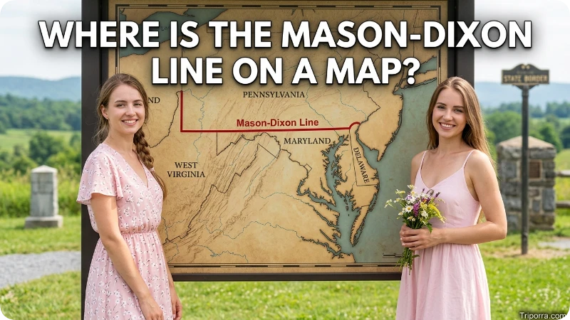
Look at the Mid-Atlantic region on a map of the United States.
First, find Pennsylvania. Then look along its southern border with Maryland. The main Mason-Dixon Line follows this boundary.
The line generally runs from east to west across southern Pennsylvania.
At the eastern end, the survey connects with boundaries around Delaware. At the western end, it reaches the Appalachian region near Pennsylvania and West Virginia.
You will not see a continuous wall or fence marking the line. Surveyors used stones and other markers to identify its position.
What Is the Latitude of the Mason-Dixon Line?
The main east-west section sits at about 39°43′ north latitude.
This latitude crosses the Mid-Atlantic region.
It does not have one longitude because the boundary stretches from east to west. Its longitude changes as the line crosses Pennsylvania.
For a general geographic reference, 39°43′ N gives a useful idea of where the main line runs.
Where Is the Mason-Dixon Line Compared With Philadelphia?
It lies south and west of Philadelphia.
Philadelphia sits in southeastern Pennsylvania, north of the Pennsylvania-Maryland border.
If you move generally south and west from Philadelphia, you eventually approach the it
Philadelphia therefore gives a useful reference point for understanding the line’s position in southeastern Pennsylvania.
Where Is the Mason-Dixon Line Compared With Baltimore?
It lies north of Baltimore.
Baltimore sits in northern Maryland. The line forms much of Maryland’s northern boundary with Pennsylvania.
If you move north from Baltimore, you head toward Pennsylvania and the it.
Where Is the Mason-Dixon Line Compared With Washington, D.C.?
It lies north of Washington, D.C.
Washington, D.C., sits south of Pennsylvania and south of Maryland’s northern border.
This makes the capital a useful reference point. The Mason-Dixon Line sits farther north.
Where Is the Mason-Dixon Line Compared With Pittsburgh?
It lies south and east of Pittsburgh in the western part of the boundary area.
Pittsburgh sits in western Pennsylvania. The western section of the survey reaches farther south toward the Pennsylvania-West Virginia border.
Pittsburgh does not sit directly on the line, but the city helps show where the western part of the survey lies.
Is the Mason-Dixon Line a State Border?

Yes. Much of the Mason-Dixon Line forms a modern state border.
The best-known section separates Pennsylvania and Maryland.
Other parts of the original survey connect with boundaries involving Delaware and West Virginia.
The name also has a broader meaning. Many people use “Mason-Dixon Line” as a traditional term for the boundary between the North and South.
That cultural meaning covers a wider idea than the actual state boundary.
Why Did They Create the Mason-Dixon Line?
It helped settle colonial land dispute.
Pennsylvania and Maryland had competing claims over their boundary. The dispute involved the Penn and Calvert families, who controlled the two colonies.
Charles Mason and Jeremiah Dixon took on the survey work.
They measured the boundary and marked its position across the region.
Their survey helped the colonies settle the long-running dispute.
When Did Mason and Dixon Survey the Line?
Charles Mason and Jeremiah Dixon worked on the boundary from 1763 to 1767.
The work presented major challenges. The surveyors crossed forests, hills, and mountains as they moved west.
They used surveying instruments and astronomical observations to calculate the boundary.
They also placed stones along parts of the line.
Some original markers remain today. Other markers disappeared or suffered damage over time.
Who Were Mason and Dixon?
Charles Mason and Jeremiah Dixon were English surveyors and astronomers.
The two men worked together on the boundary project in the 1760s.
The colonial governments hired them to settle the dispute between Pennsylvania and Maryland.
Their work later gave the boundary its famous name: the Mason-Dixon Line.
Does the Mason-Dixon Line Separate the North and South?
People often use the Mason-Dixon Line as a traditional boundary between the North and South.
However, Mason and Dixon did not create the line for that purpose.
They surveyed the boundary in the 1760s to settle colonial land claims. The United States had not yet declared independence.
The line gained its North-South meaning later. During the 19th century, Americans increasingly connected the line with the division between free and slave states.
Today, the name has both a geographic meaning and a historical meaning.
Is the Mason-Dixon Line a Wall?
No. The Mason-Dixon Line is not a wall or fence.
Surveyors marked the boundary with stones and other monuments.
Some of those markers remain today.
The line itself represents a legal boundary. It does not form a continuous physical structure across the region.
Does the Mason-Dixon Line Go Through Delaware?
The Mason-Dixon survey connects with Delaware’s boundaries, although the main east-west section does not run through the center of Delaware.
Mason and Dixon surveyed the north-south boundary between Maryland and the territory that later became Delaware.
Delaware also has the Twelve-Mile Circle along its northern boundary.
This makes the full Mason-Dixon survey more complex than the simple Pennsylvania-Maryland line many people know.
Does the Mason-Dixon Line Go Through West Virginia?
The western part of the Mason-Dixon survey reaches the area of the modern Pennsylvania-West Virginia boundary.
Mason and Dixon continued their work west across the Appalachian Mountains.
The survey eventually reached the Monongahela River area.
Today, this western section connects with the state boundary between Pennsylvania and West Virginia.
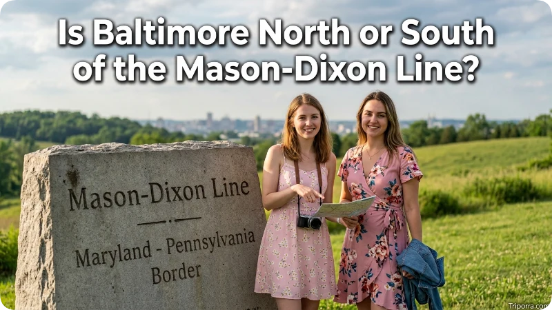
Is Baltimore North or South of the Mason-Dixon Line?
Baltimore is south of the it.
The city sits in Maryland, while the line forms much of Maryland’s northern border.
Pennsylvania lies north of the line.
Is Philadelphia North or South of the Mason-Dixon Line?
Philadelphia is north of the Mason-Dixon Line.
The city sits in southeastern Pennsylvania.
The Mason-Dixon Line runs farther south along Pennsylvania’s border with Maryland.
Is Washington, D.C. North or South of the Mason-Dixon Line?
Washington, D.C. is south of the it.
The capital sits south of Maryland’s northern border.
The Mason-Dixon Line runs farther north near the Pennsylvania-Maryland boundary.
Why Does the Mason-Dixon Line Matter?
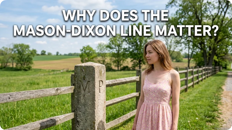
It connects several important parts of U.S. geography.
First, Mason and Dixon used it to settle a colonial boundary dispute.
Second, much of their surveyed boundary later became part of modern state borders.
Third, the line gained a wider historical meaning as a dividing point between the North and South.
The line therefore helps explain the geography and history of Pennsylvania, Maryland, Delaware, and nearby states.
A Simple Mental Map
You can picture the main Mason-Dixon Line like this:
Pennsylvania ↓ Mason-Dixon Line ↓ Maryland ↓ Washington, D.C.
The survey connects with Delaware in the east.
It reaches the Pennsylvania-West Virginia area in the west.
Philadelphia sits north of the line, while Baltimore and Washington, D.C., sit south of it.
This simple layout makes the line easier to locate on a U.S. map.
FAQs
Where exactly is the Mason-Dixon Line?
The main Mason-Dixon Line follows the Pennsylvania-Maryland border in the Mid-Atlantic United States. The wider survey also connects with Delaware and West Virginia.
What states does the Mason-Dixon Line separate?
The main section separates Pennsylvania and Maryland. The wider Mason-Dixon survey also connects with Delaware and West Virginia.
Is the Mason-Dixon Line the border between Pennsylvania and Maryland?
Yes. The main east-west section forms the Pennsylvania-Maryland border.
Is Baltimore north or south of the Mason-Dixon Line?
Baltimore is south of the line. The city sits in Maryland, south of Pennsylvania.
Is Philadelphia north or south of the Mason-Dixon Line?
Philadelphia is north of the line. The city sits in southeastern Pennsylvania.
How far north is the Mason-Dixon Line?
The main east-west section sits near 39°43′ north latitude.
Why is the Mason-Dixon Line famous?
The line became famous as a historic reference point between the North and South. It also marks important state boundaries in the Mid-Atlantic.
Who surveyed the it ?
Charles Mason and Jeremiah Dixon surveyed the boundary from 1763 to 1767.
Conclusion
It runs mainly along the Pennsylvania-Maryland border in the Mid-Atlantic United States. The wider survey connects with Delaware and the Pennsylvania-West Virginia area.
On a map, remember the basic layout: Pennsylvania sits north of the main line, Maryland sits south, Delaware connects to the eastern survey, and the western section reaches the Pennsylvania-West Virginia area.

Elena Rostova bridges the gap between premium hospitality and authentic local experiences. Armed with a background in luxury hospitality management and a passion for fine architecture, she spent years evaluating elite resorts before transitioning into travel journalism. Elena heads the luxury and boutique travel vertical on Triporra.com. Her meticulous guides strip away the guesswork from high-end travel, showcasing unique five-star escapes, fine regional dining, and bespoke private tours that elevate a standard vacation into an unforgettable journey.










