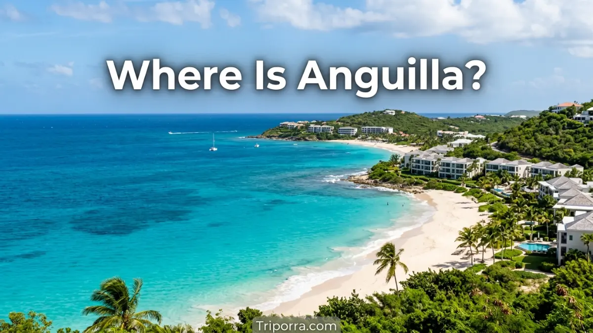
Anguilla is a small British Overseas Territory in the eastern Caribbean Sea. It lies just north of Saint Martin and about 150 miles east of Puerto Rico. It is the northernmost of the Leeward Islands in the Lesser Antilles. Its capital, The Valley, is near the center of the main island.
It is a small, low-lying island in the eastern Caribbean. It is part of the Leeward Islands, a group within the Lesser Antilles.
If you picture the Caribbean map, it sits near the northeastern edge of the Caribbean island chain. Saint Martin is directly south, while Puerto Rico is farther west. The island is also east of the U.S. Virgin Islands and north of several other Lesser Antilles islands.
This location makes it easy to place geographically even though it is much smaller than many Caribbean islands.
Quick Facts About Anguilla
| Fact | Information |
|---|---|
| Location | Eastern Caribbean Sea |
| Political Status | British Overseas Territory |
| Island Group | Leeward Islands |
| Subregion | Lesser Antilles |
| Sovereign State | United Kingdom |
| Capital | The Valley |
| Continent / Region | North America / Caribbean |
| Coordinates | About 18.22° N, 63.05° W |
| Area | About 35 square miles |
| Nearby Island | Saint Martin |
| Nearby Major Territory | Puerto Rico |
| Main Airport | Clayton J. Lloyd International Airport |
| Time Zone | Atlantic Standard Time (AST) |
The Government of it identifies the territory as the most northerly of the Leeward Islands and gives its size as about 35 square miles.
Where Is Anguilla Located?
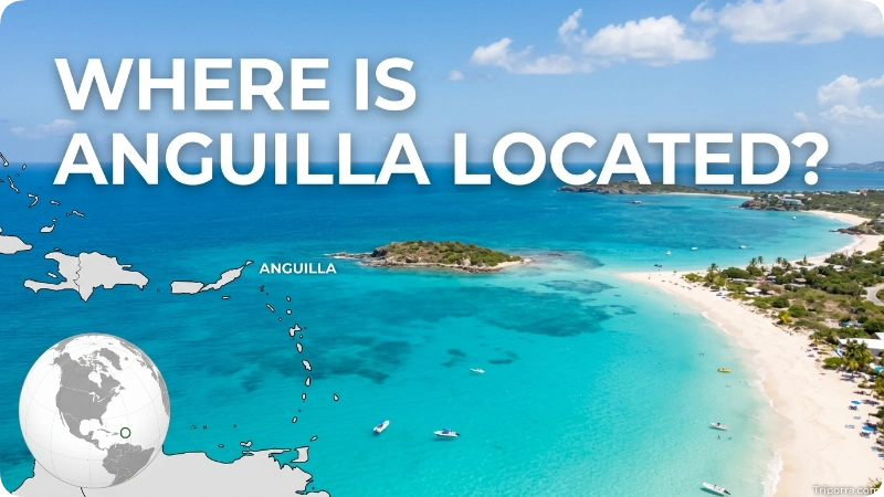
It is located in the eastern Caribbean Sea, at approximately 18.22° north latitude and 63.05° west longitude.
It is positioned:
- North of Saint Martin
- East of Puerto Rico
- East of the U.S. Virgin Islands
- Northeast of the Dominican Republic
- Northwest of Antigua and Barbuda
- At the northern end of the Leeward Islands
The island is approximately 16 miles long and 3 miles wide at its widest point, making it relatively small compared with nearby Caribbean islands.
What Country Is Anguilla In?
It is not an independent country. It is a British Overseas Territory of the United Kingdom.
This means Anguilla has its own local government and internal self-government, while the United Kingdom remains responsible for certain external matters. The Government of it currently describes the territory as a British Overseas Territory.
So, if you are asking “What country is Anguilla part of?”, the simplest answer is:
It is a British Overseas Territory of the United Kingdom.
What Region Is Anguilla In?
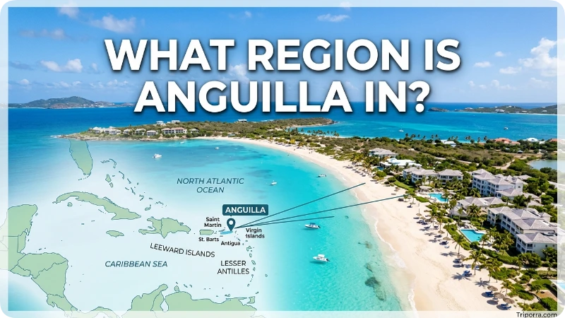
Geographically, it is in the Caribbean.
More specifically, its location can be described through several geographic levels:
Anguilla → Leeward Islands → Lesser Antilles → Caribbean → North America
The island is the northernmost of the Leeward Islands, which form part of the Lesser Antilles island chain.
This is why it is sometimes described as both a Caribbean island and part of the Lesser Antilles.
Where Is Anguilla on a Map?
On a map of the Caribbean, look toward the northeastern Caribbean.
It appears:
- Near the top of the Lesser Antilles
- Immediately north of Saint Martin
- East of Puerto Rico
- Near the eastern Caribbean’s northern island chain
Its position is easier to understand when you use Saint Martin as a reference point. Saint Martin is the nearest large neighboring island, located roughly 9–11 miles south of Anguilla, depending on the points being measured. Official Anguilla sources place Saint Martin about 11 miles to the south.
What Is Anguilla Near?
It is closest to Saint Martin, which sits directly south across the its Channel.
Other important geographic reference points include:
PlaceRelationship to AnguillaSaint MartinAbout 9–11 miles southPuerto RicoAbout 150 miles westU.S. Virgin IslandsWest/southwestBritish Virgin IslandsFarther westAntigua and BarbudaSoutheastDominican RepublicSouthwestSt. Kitts and NevisSoutheast
These relationships provide a useful mental map: Anguilla is north of Saint Martin and east of Puerto Rico.
How Far Is Anguilla From Puerto Rico?
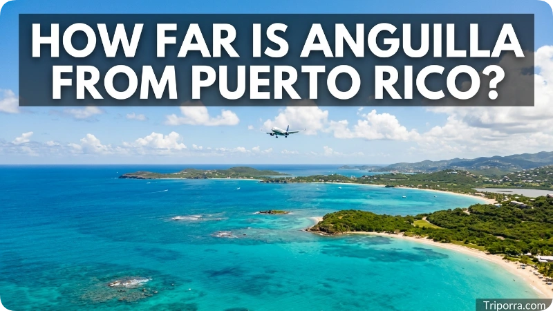
It is approximately 150 miles east of Puerto Rico.
The exact distance depends on which locations on the two islands or territories are used as the starting and ending points. For a general geographic comparison, about 150 miles is a useful figure.
This puts Anguilla relatively close to Puerto Rico compared with many other Caribbean destinations.
A simple way to remember the relationship is:
Puerto Rico → east → Anguilla
How Far Is Anguilla From Saint Martin?
It is only about 9–11 miles north of Saint Martin.
The two islands are separated by the its Channel, making Saint Martin one of the most important geographic and transportation connections for it . Official sources identify Saint Martin as the nearest neighboring island.
Because the islands are so close, Saint Martin is an important reference point when locating on a Caribbean map.
What Is the Capital of Anguilla?
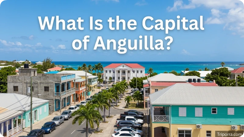
The capital of its is The Valley.
The Valley is the territory’s administrative center and is located on the main island of it.
The capital is also close to Clayton J. Lloyd International Airport, which is located in the Wallblake area near The Valley.
If you are looking for Anguilla on a detailed map, finding The Valley provides a useful central reference point.
What Islands Are Part of Anguilla?
It is more than just the main island.
The territory includes the main island of Anguilla along with several smaller islands and cays. Most of these smaller islands are uninhabited.
The main island is by far the largest part of the territory. It stretches roughly 16 miles from end to end and reaches about 3 miles across at its widest point.
This compact geography is one reason Anguilla can be easy to understand as a location: it is a small island territory surrounded by the Caribbean Sea.
Where Is The Valley in Anguilla?
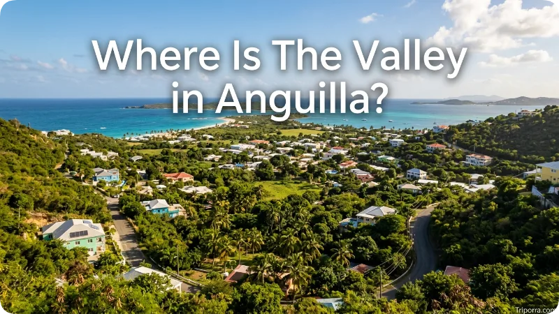
The Valley is located near the center of Anguilla’s main island.
It serves as the capital and administrative center of the territory. Its approximate coordinates are 18.217° N, 63.058° W.
The Valley is also close to the island’s main airport, Clayton J. Lloyd International Airport.
Therefore, if someone asks where Anguilla’s main administrative center is located, the answer is The Valley, Anguilla.
How Do You Get to Anguilla?
It can be reached by air or sea.
The main airport is Clayton J. Lloyd International Airport, located at Wallblake near The Valley. The airport serves as Anguilla’s primary air gateway.
It can also be reached by ferry connections from nearby islands, particularly Saint Martin/Sint Maarten. The close geographic relationship between Anguilla and Saint Martin makes the southern island an important access point.
For travelers coming from the United States, connections can involve larger Caribbean gateways before continuing to Anguilla. Official Anguilla travel information identifies Puerto Rico, St. Maarten and Antigua among the main gateways.
Is Anguilla Part of the Caribbean?
Yes. It is a Caribbean island territory.
It lies in the eastern Caribbean Sea and belongs geographically to the Leeward Islands, which are part of the Lesser Antilles.
This places Anguilla within the broader Caribbean region, alongside destinations such as Puerto Rico, Saint Martin, the U.S. Virgin Islands, Antigua and Barbuda, and other Lesser Antilles islands.
Does Anguilla Have a State?
No. It does not have U.S.-style states.
It is a British Overseas Territory with its own local administrative system. Therefore, you would not describe it as being in a particular U.S. state or in a state of the United Kingdom.
For geographic purposes, the clearest description is:
It is a British Overseas Territory in the eastern Caribbean and the northernmost of the Leeward Islands.
What Ocean Is Anguilla In?
It is located in the Caribbean Sea, which is part of the Atlantic Ocean system.
The island sits in the eastern Caribbean, north of Saint Martin and east of Puerto Rico. Its surrounding waters include the Caribbean Sea and the Anguilla Channel between Anguilla and Saint Martin.
This location places Anguilla within the northeastern part of the Caribbean island chain.
Anguilla’s Location Compared With the United States
It is in the Caribbean, southeast of the continental United States.
It is much closer to the Caribbean islands and Puerto Rico than to most locations on the U.S. mainland. For Americans trying to place it on a map, a useful sequence is:
Florida → Caribbean → Puerto Rico → Anguilla
However, Anguilla is not part of the United States. It is a British Overseas Territory.
Why Anguilla Can Be Easy to Confuse on a Map
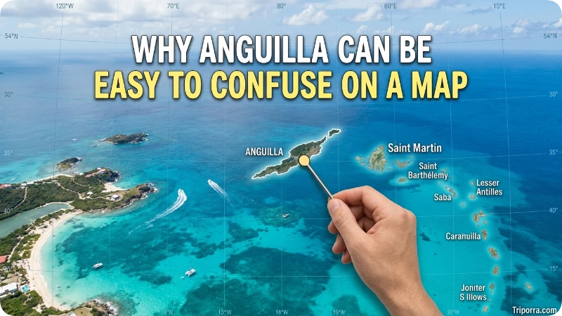
It is sometimes confused with nearby Caribbean islands because the region contains many small islands and territories located close together.
The most important distinction is its position relative to Saint Martin:
It is north of Saint Martin.
Puerto Rico is farther west, while the other Leeward Islands continue generally toward the southeast.
So, if you remember just three geographic facts, you can quickly locate it :
- It is in the eastern Caribbean.
- It is north of Saint Martin.
- It is east of Puerto Rico.
FAQs
Is it a country?
No. It is a British Overseas Territory of the United Kingdom. It has its own local government and internal self-government.
Where is it located?
It is located in the eastern Caribbean Sea, north of Saint Martin and east of Puerto Rico. It is the northernmost of the Leeward Islands.
What country owns Anguilla?
It is a British Overseas Territory. It is constitutionally linked to the United Kingdom but is not part of the UK itself as one of its constituent countries.
Is it part of the Caribbean?
Yes. It is a Caribbean island territory in the eastern Caribbean and belongs to the Leeward Islands of the Lesser Antilles.
What island is closest to Anguilla?
Saint Martin is the closest major neighboring island. It is located roughly 9–11 miles south of it.
How far is Anguilla from Puerto Rico?
It is approximately 150 miles east of Puerto Rico, although the exact distance varies depending on the points measured.
What is the capital of Anguilla?
The capital of Anguilla is The Valley, located near the center of the main island.
What are the coordinates of Anguilla?
It is located at approximately 18.22° N, 63.05° W.
Is Anguilla part of the Lesser Antilles?
Yes. It is part of the Leeward Islands, which are a northern group within the Lesser Antilles.
Is Anguilla near the U.S. Virgin Islands?
Yes. The U.S. Virgin Islands are west and southwest of Anguilla. Anguilla is also east of Puerto Rico, which is farther west.
How big is Anguilla?
The main island is about 16 miles long and 3 miles wide at its widest point, while the territory covers about 35 square miles.
Does Anguilla have an airport?
Yes. Clayton J. Lloyd International Airport is located at Wallblake near The Valley and is Anguilla’s main airport.
Conclusion
So, where is Anguilla? It is a small British Overseas Territory in the eastern Caribbean Sea. It sits at the northern end of the Leeward Islands, directly north of Saint Martin and roughly 150 miles east of Puerto Rico. Its capital, The Valley, is near the center of the main island.
The simplest mental map is: find Puerto Rico, move east toward the Lesser Antilles, and look just north of Saint Martin. There you will find it.

About Leo Sterling
Leo Sterling is a geography and travel writer at Triporra.com who believes understanding a place starts with knowing exactly where it is. He turns geographic details on countries, regions, islands, and cities into clear, engaging content for everyday readers.
For Leo, a good location article does more than mark a spot on a map. It shows what borders a place, which region it belongs to, and how it connects to the world around it—an approach reflected in guides like where is Anguilla, where solid research meets a simple, conversational style.
Whether readers are planning a trip, studying, or just curious, Leo’s goal is the same: deliver accurate, easy-to-understand information without unnecessary complexity.
Areas of Focus: Geography | Countries & Regions | Caribbean Islands | Travel Destinations | Location Research | “Where Is?” Content