
Indianapolis is in central Indiana, in the Midwestern United States. It is the capital of Indiana and the seat of Marion County. The city sits near the center of the state, along the White River. Its location is about 39.77° N latitude and 86.15° W longitude. It is also within easy reach of major Midwest cities such as Chicago, Louisville, Cincinnati, and Columbus.
Introduction
If you are asking where is it , the short answer is simple: It is in central Indiana, USA.
It is the capital and largest city in Indiana. The city is located in Marion County and is part of the Midwestern United States.
It sits close to the center of Indiana. Because of this location, it is connected to many other cities in the Midwest. Chicago is to the northwest, Louisville is to the south, Cincinnati is to the southeast, and Columbus is to the east.
The city is also an important transportation center. Several major interstate highways meet in or around it , making it easy to understand why the city is often used as a central point when looking at a map of Indiana.
Indianapolis Location: Quick Facts
| Fact | Information |
|---|---|
| Location | Central Indiana |
| State | Indiana |
| County | Marion County |
| Region | Central Indiana / Midwest |
| Country | United States |
| Continent | North America |
| Coordinates | About 39.77° N, 86.15° W |
| Nearby Major Cities | Chicago, Louisville, Cincinnati, Columbus |
| Time Zone | Eastern Time |
| State Capital | Yes |
Geographic Note: It is located in Marion County in central Indiana. The city and county are closely connected geographically, with it serving as the county seat and the state capital.
Where Is Indianapolis Located?
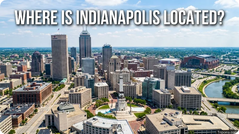
It is located in the central part of Indiana.
Indiana is a state in the Midwestern United States. It sits between Illinois and Ohio, with Michigan to the north and Kentucky to the south.
It is not close to the edge of Indiana. Instead, it sits near the middle of the state. This gives the city a central position between northern, southern, eastern, and western parts of Indiana.
On a simple map, you can think of Indianapolis as a point near the middle of Indiana.
It is:
- East of Illinois
- West of Ohio
- North of Kentucky
- South of Fort Wayne
- Southeast of Chicago
- Northwest of Cincinnati
- North of Louisville
The U.S. Census Bureau’s map of Marion County shows it in the central part of the county, surrounded by communities and counties in several directions.
What State Is Indianapolis In?
Indianapolis is in Indiana.
Indiana is one of the 50 states of the United States. It is commonly known as the Hoosier State.
Indianapolis is the capital of Indiana and the state’s largest city. It is also the main city in the central part of the state.
The city is sometimes shortened to Indy, which is a common local name for it .
So, if someone asks:
“What state is Indianapolis in?”
The answer is:
It is in Indiana.
What County Is Indianapolis In?
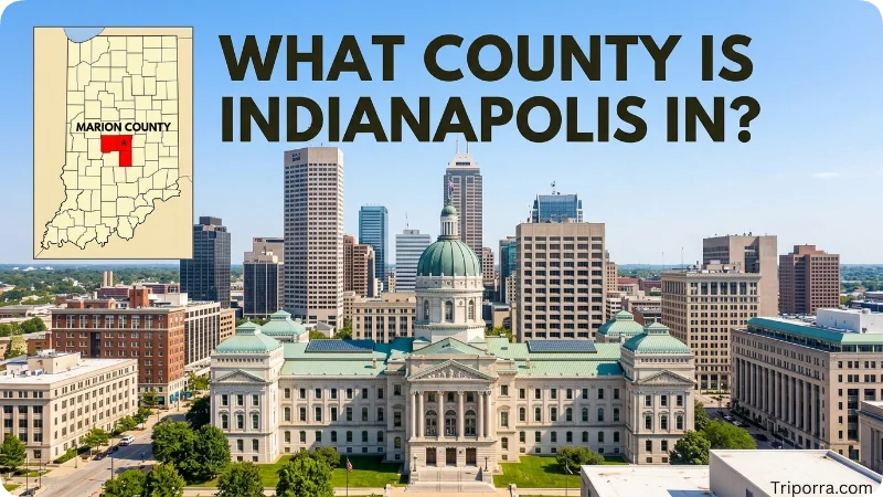
It is in Marion County, Indiana.
Marion County is located in central Indiana. It is closely connected with Marion County because the city and county governments were consolidated in 1970 for many government functions. Several separate municipalities, including Beech Grove, Lawrence, Speedway, and Southport, remain within the county.
This can make Indianapolis’s boundaries a little different from those of a typical U.S. city.
For a simple geographic relationship, think of it this way:
Indianapolis → Marion County → Indiana → Midwest → United States → North America
That is the basic location of it.
What Region Is Indianapolis In?
It is in Central Indiana and the larger Midwestern United States.
Central Indiana is the area around it and the communities that surround it.
The Midwest is a larger U.S. region that includes Indiana along with states such as Illinois, Ohio, Michigan, Wisconsin, and others.
Indianapolis is therefore both:
- A city in Central Indiana
- A city in the Midwest
When someone says it is a Midwestern city, they are describing its larger U.S. region.
When they say it is in Central Indiana, they are giving a more specific location.
Where Is Indianapolis on a Map?
On a map of the United States, first find the Midwest.
Then find the state of Indiana.
It is near the center of Indiana.
Its approximate coordinates are 39.77° north latitude and 86.15° west longitude.
A simple way to picture its location is:
Chicago ↓ southeast it ↓ south Louisville
And:
Indianapolis → east Columbus
While Cincinnati is generally southeast of it .
This gives you a basic mental map without needing to look at a detailed map.
What Cities Are Near Indianapolis?
There are many cities and communities around it .
Some of the better-known nearby places include:
- Carmel — north
- Fishers — northeast
- Noblesville — north and northeast
- Greenwood — south
- Plainfield — southwest
- Avon — west
- Zionsville — northwest
- Greenfield — east
- Beech Grove — southeast
- Speedway — west
These places are part of the wider it area or are located close to the city.
The U.S. Census Bureau’s Marion County map shows communities such as Fishers, Zionsville, Beech Grove, Speedway, Plainfield, and Greenwood around the its area.
What Is Indianapolis Near?
It is near several important cities in the Midwest.
The closest major cities are in different directions. This makes it easy to understand when you compare it with larger cities around it.
CityDirection From IndianapolisApproximate DistanceBloomington, IndianaSouthwestAbout 50 milesFort Wayne, IndianaNortheastAbout 105 milesCincinnati, OhioSoutheastAbout 110 milesLouisville, KentuckySouthAbout 115 milesColumbus, OhioEastAbout 175 milesChicago, IllinoisNorthwestAbout 185 miles
These are approximate distances for geographic orientation. Actual driving distances can be different depending on the starting point and route.
The important thing is the relationship between the cities:
It is central, with major cities in several directions.
How Far Is Indianapolis From Chicago?
It is about 185 miles southeast of Chicago.
Chicago is in Illinois, while it is in Indiana.
If you look at a map, Chicago is clearly northwest of Indianapolis. The two cities are connected by major highways, so Indianapolis has a direct road connection with the Chicago area.
The relationship is easy to remember:
Chicago → southeast → Indianapolis
Chicago is one of the most useful major-city reference points when trying to understand where it is located.
How Far Is Indianapolis From Louisville?
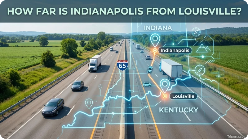
It is about 115 miles north of Louisville, Kentucky.
Louisville is located along the Ohio River near the Indiana-Kentucky border.
It is farther north, in central Indiana.
So the simple direction is:
Indianapolis → south → Louisville
Because Louisville is relatively close to it, it is one of the main large cities that can help you understand Indianapolis’s location on a regional map.
How Far Is Indianapolis From Cincinnati?
Cincinnati is about 110 miles southeast of it.
Cincinnati is located along the Ohio River near the Ohio-Kentucky border.
It is northwest of Cincinnati.
The basic relationship is:
Indianapolis → southeast → Cincinnati
Both cities are important population centers in the Midwest, and their locations make it part of a larger network of cities across Indiana, Ohio, and Kentucky.
How Far Is Indianapolis From Fort Wayne?
Fort Wayne is about 105 miles northeast of it .
Both cities are in Indiana.
It is near the center of the state, while Fort Wayne is in northeastern Indiana.
The simple direction is:
Indianapolis → northeast → Fort Wayne
Fort Wayne is one of the largest cities in Indiana outside the its area, making it a useful reference point when looking at a map of the state.
How Far Is Indianapolis From Columbus, Ohio?
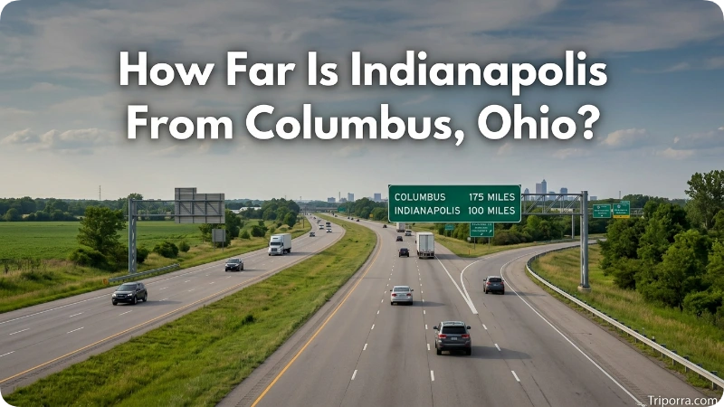
Columbus, Ohio, is roughly 175 miles east of it.
It is in central Indiana, while Columbus is in central Ohio.
The two cities are separated by eastern Indiana and western Ohio.
The basic relationship is:
Indianapolis → east → Columbus
This also shows how it connects the western and eastern parts of the Midwest.
What Is Around Indianapolis?
It is surrounded by a mix of city, suburbs, smaller communities, farmland, roads, and natural areas.
The surrounding areas change depending on which direction you travel.
North of Indianapolis
North of it are places such as Carmel, Fishers, and Noblesville.
This area includes much of Hamilton County and has many suburban communities.
South of Indianapolis
South of the city are Greenwood and other communities in Johnson County.
Traveling farther south takes you toward Bloomington and other parts of southern Indiana.
West of Indianapolis
To the west are communities such as Avon and Plainfield.
This side of the city also connects toward Hendricks County and western Indiana.
East of Indianapolis
To the east are areas such as Lawrence, Cumberland, and Greenfield.
Further east, the landscape connects toward eastern Indiana and Ohio.
Northwest of Indianapolis
Zionsville is northwest of Indianapolis.
The area also connects toward Boone County and communities farther north and west.
These surrounding places help show what it looks like geographically. It is not an isolated city. Instead, it sits in the middle of a large network of connected communities.
What River Is Indianapolis Near?
The White River runs through it .
The river is an important natural feature of the city and is one of the easiest geographic landmarks to use when learning about it.
It developed along the White River area, and the river continues through the western and central parts of the city.
City mapping data for it includes rivers and streams as part of the city’s geographic information.
The White River is useful for understanding the city’s physical location, but it is better known today for its central location and transportation network.
How Is Indianapolis Connected to Other Places?
It has a large network of major roads and interstate highways.
Important interstate routes around the city include:
- I-65
- I-69
- I-70
- I-74
- I-465
These roads connect it with cities and areas in many directions.
For example:
- I-65 connects toward Chicago and Louisville
- I-70 connects it with areas to the east and west
- I-69 connects toward northern and southern parts of Indiana
- I-74 connects it with the Cincinnati region
- I-465 forms a major loop around the its area
This highway network is one reason it is easy to reach from different parts of the Midwest.
Where Is Indianapolis International Airport?
Indianapolis International Airport is on the southwest side of it .
The airport is about 7 miles from downtown Indianapolis. It is connected to the city’s main road system and provides air service to and from the its area.
The airport is located near major roads, including I-70 and I-465.
For someone trying to understand the city, the airport is a useful reference point because it sits southwest of downtown.
What Time Zone Is Indianapolis In?
It is in the Eastern Time Zone.
During standard time, the city follows Eastern Standard Time (EST). During daylight saving time, it follows Eastern Daylight Time (EDT).
This is important when comparing it with nearby cities.
For example, Chicago is in the Central Time Zone, while it is in the Eastern Time Zone.
So even though Chicago and Indianapolis are relatively close to each other, their clocks can differ by one hour during parts of the year.
Is Indianapolis in the Midwest?
Yes. It is in the Midwest.
More specifically, it is in Central Indiana.
Indiana is considered one of the Midwestern states of the United States.
It sits in a useful position within this region. It is relatively close to major cities in Illinois, Ohio, Kentucky, and other parts of Indiana.
That central location is an important part of Indianapolis’s geographic identity.
Is Indianapolis Near the Center of Indiana?
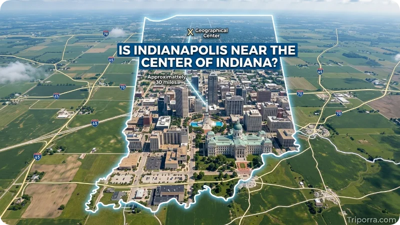
Yes. It is located in the central part of Indiana.
The city is not exactly at the mathematical center of the state, but it is close enough to the middle that it serves as a natural center for many activities in Indiana.
The city is also described by it and Marion County sources as being at the geographic center of the state.
If you divide Indiana into broad sections, it is roughly where you would expect to find a major central city.
This location also helps explain why many major roads pass through or around it.
How Do You Get to Indianapolis?
It can be reached by car, plane, and other forms of transportation.
By Car
Several interstate highways connect Indianapolis with nearby states and major cities.
- Heading southwest from Fort Wayne, you’ll reach Indianapolis.
- Traveling northwest from Cincinnati, you’ll arrive in Indianapolis.
- Coming southeast from Chicago, Indianapolis is ahead.
- Going west from Columbus, you’ll head toward Indianapolis.
- If you’re north of Louisville, travel north to reach Indianapolis.
The main interstate routes around Indianapolis include I-65, I-69, I-70, I-74, and I-465.
By Air
If you are flying, Indianapolis International Airport is the city’s main airport.
It is located southwest of downtown and has road connections to the city’s major highways.
Around Indianapolis
Once you are in the city, I-465 is an important road to know.
It forms a large loop around much of it and connects with several major interstate highways.
This makes it useful for traveling between different parts of the metropolitan area.
Is Indianapolis a City or a State?
Indianapolis is a city.
It is not a state.
The state is Indiana.
This is an easy distinction to remember:
- Indianapolis = City
- Indiana = State
- Marion County = County
- United States = Country
Indianapolis is the capital city of Indiana.
Is Indianapolis the Capital of Indiana?
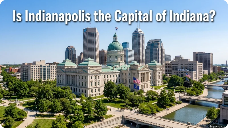
Yes. It is the capital of Indiana.
It is also the largest city in the state.
The city is located in Marion County and sits in the central part of Indiana.
Because it is centrally located, it became an important center for state government, transportation, business, and other activities.
Its position also makes it a convenient location for people traveling from different parts of Indiana.
Why Is Indianapolis So Centrally Located?
It is in a useful position because it is close to several major areas of the Midwest.
From it , you can travel:
- Northwest toward Chicago
- South toward Louisville
- Southeast toward Cincinnati
- East toward Columbus
- Northeast toward Fort Wayne
- Southwest toward Bloomington
- West toward central Illinois
This gives the city connections in almost every direction.
The interstate system makes these connections even stronger.
For this reason, it is often seen as a major crossroads in the Midwest.
FAQs
Where is Indianapolis located?
It is located in central Indiana, in Marion County. It is the state capital and is part of the Midwestern United States.
What state is Indianapolis in?
It is in Indiana. It is the capital and largest city of the state.
What county is Indianapolis in?
It is in Marion County, Indiana. The city and county have closely connected boundaries and government structures.
Is Indianapolis in the Midwest?
Yes. Indianapolis is in the Midwestern United States, specifically in Central Indiana.
Is Indianapolis near Chicago?
Yes. It is about 185 miles southeast of Chicago, although the exact driving distance depends on the route.
How far is Indianapolis from Louisville?
It is about 115 miles north of Louisville, Kentucky.
How far is Indianapolis from Cincinnati?
It is about 110 miles northwest of Cincinnati, Ohio.
What major cities are near Indianapolis?
Major cities near it include Louisville, Cincinnati, Fort Wayne, Chicago, and Columbus. Nearby communities include Carmel, Fishers, Greenwood, Plainfield, Avon, Zionsville, and Beech Grove.
What are the coordinates of Indianapolis?
It is located at approximately 39.77° N latitude and 86.15° W longitude.
What time zone is Indianapolis in?
It is in the Eastern Time Zone.
Is Indianapolis near the center of Indiana?
Yes. It is in the central part of Indiana and is near the geographic center of the state.
Where is Indianapolis International Airport?
Indianapolis International Airport is located on the southwest side of Indianapolis, about 7 miles from downtown.
Conclusion
So, where is Indianapolis?
It is in central Indiana, in Marion County, in the Midwestern United States. It is the capital and largest city of Indiana.
On a map, it is southeast of Chicago, north of Louisville, northwest of Cincinnati, and west of Columbus.
Its central position makes it an important city in Indiana and a major connection point for the Midwest. If you know that it is near the center of Indiana, you already have a good mental picture of where the city is located.

About Leo Sterling
Leo Sterling is a geography and travel writer at Triporra.com who believes understanding a place starts with knowing exactly where it is. He turns geographic details on countries, regions, islands, and cities into clear, engaging content for everyday readers.
For Leo, a good location article does more than mark a spot on a map. It shows what borders a place, which region it belongs to, and how it connects to the world around it—an approach reflected in guides like where is Anguilla, where solid research meets a simple, conversational style.
Whether readers are planning a trip, studying, or just curious, Leo’s goal is the same: deliver accurate, easy-to-understand information without unnecessary complexity.
Areas of Focus: Geography | Countries & Regions | Caribbean Islands | Travel Destinations | Location Research | “Where Is?” Content