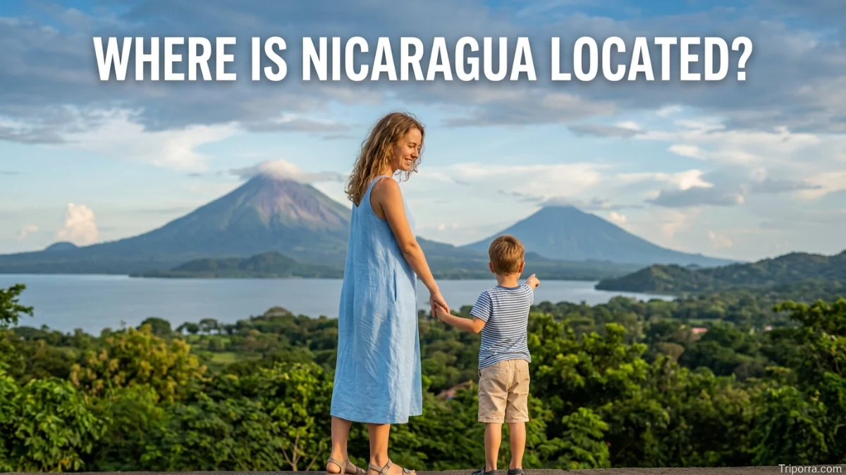
Nicaragua is located in Central America, between Honduras to the north and Costa Rica to the south. It sits between the Pacific Ocean on the west and the Caribbean Sea on the east. Nicaragua is the largest country in Central America by land area and has its capital, Managua, near the western side of the country.
Introduction
If you look at a map of Central America, Nicaragua is in the middle of the region, between Honduras and Costa Rica. Its western coastline faces the Pacific Ocean, while its much longer eastern coastline borders the Caribbean Sea.
This location places Nicaragua in Central America, which is part of North America. The country is known geographically for its two large lakes, volcanic landscapes, Pacific lowlands, and broad Caribbean region. Its capital city, Managua, is located in the western part of the country.
Here is a simple way to picture it: Honduras is north of Nicaragua, Costa Rica is south, the Pacific Ocean is west, and the Caribbean Sea is east.
Nicaragua at a Glance
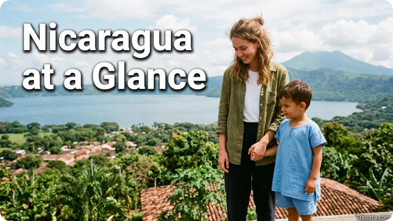
FactInformationLocationCentral AmericaCountryNicaraguaRegionCentral AmericaContinentNorth AmericaCapitalManaguaCoordinatesAbout 12.9° N, 85.2° WNorthern NeighborHondurasSouthern NeighborCosta RicaWestern CoastPacific OceanEastern CoastCaribbean SeaLargest CityManaguaTime ZoneCentral Standard Time (UTC−6)
Nicaragua’s geographic setting is confirmed by regional maps and country geographic records showing its position between Honduras and Costa Rica, with the Pacific Ocean to the west and Caribbean Sea to the east.
Where Is Nicaragua on the Map?
Nicaragua is in the southern part of Central America. On a world map, it is located between North and South America, although geographically it belongs to North America through the Central American region.
On a map of Central America, Nicaragua is relatively easy to identify because it lies between two neighboring countries:
- Honduras is directly north.
- Costa Rica is directly south.
- The Pacific Ocean lies to the west.
- The Caribbean Sea lies to the east.
This gives Nicaragua a position between two major bodies of water and makes it one of the countries that forms the land bridge connecting North America with South America.
What Country Is Nicaragua In?
Nicaragua is itself an independent country. It is not part of another country or a U.S. state.
Its official name is the Republic of Nicaragua, and its capital is Managua.
The country is one of the seven sovereign states of Central America. The other six are Guatemala, Belize, Honduras, El Salvador, Costa Rica, and Panama.
What Region Is Nicaragua In?
Nicaragua is part of Central America.
Central America is the narrow land region that connects Mexico with the northern part of South America. It includes seven countries:
- Guatemala
- Belize
- Honduras
- El Salvador
- Nicaragua
- Costa Rica
- Panama
Nicaragua is located toward the southern half of this region. Its position between Honduras and Costa Rica makes it an important geographic link within Central America.
Is Nicaragua in North or South America?
Nicaragua is in North America.
This can sometimes be confusing because Nicaragua is close to South America and is commonly described as a Central American country. Central America, however, is geographically considered part of North America.
So the geographic relationship is:
North America → Central America → Nicaragua
Nicaragua is therefore a Central American country within the continent of North America.
What Countries Border Nicaragua?
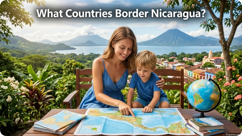
Nicaragua has two land borders.
Honduras to the North
Honduras lies directly north of Nicaragua. The two countries share an international land boundary.
If you travel north from Managua and continue across Nicaragua’s northern region, you eventually reach Honduras.
Costa Rica to the South
Costa Rica borders Nicaragua along its southern side.
The border separates Nicaragua from Costa Rica and provides an important land connection between the two countries.
Together, Honduras and Costa Rica are Nicaragua’s only two neighboring countries by land.
What Ocean Is Nicaragua On?
Nicaragua has access to two major bodies of water.
Pacific Ocean
The Pacific Ocean is along Nicaragua’s western side.
The country’s Pacific coast includes several important coastal communities and is associated with Nicaragua’s western lowlands and volcanic landscapes.
Caribbean Sea
The Caribbean Sea lies along Nicaragua’s eastern side.
The eastern portion of the country is much larger and less densely populated than the Pacific side. It includes the Caribbean coastal region and extensive tropical landscapes.
This unusual position between the Pacific and Caribbean helps explain Nicaragua’s importance geographically.
Is Nicaragua on the Caribbean or Pacific?
Nicaragua is on both the Caribbean and Pacific sides.
Its western coastline faces the Pacific Ocean, while its eastern coastline faces the Caribbean Sea.
This is one of the easiest ways to remember Nicaragua’s location:
Pacific on the west, Caribbean on the east.
Few geographic descriptions make its position clearer than this simple east-west relationship.
Where Is Managua in Nicaragua?
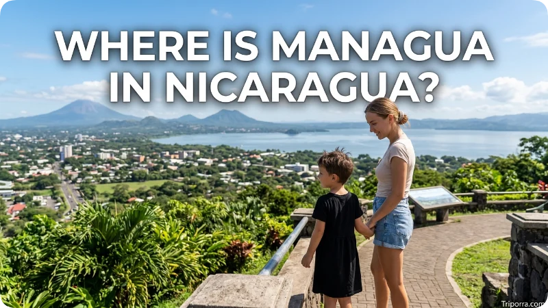
Managua is the capital and largest city of Nicaragua. It sits in the western-central part of the country, along the southwestern shore of Lake Managua.
Its location gives Managua an important position between Nicaragua’s Pacific lowlands and its interior regions.
The city is also relatively close to the Pacific coast compared with Nicaragua’s Caribbean region.
Because Managua is the national capital and principal urban center, it is the most useful reference point when explaining where different parts of Nicaragua are located.
What Is Nicaragua Near?
Nicaragua is close to several important Central American countries and geographic areas.
Its immediate neighbors are:
- Honduras to the north
- Costa Rica to the south
Beyond those countries are other parts of Central America. El Salvador lies northwest of Nicaragua across the Gulf of Fonseca region, while Panama is farther southeast beyond Costa Rica.
The Caribbean islands and mainland countries of the Caribbean region are also located to the east across the Caribbean Sea.
What Are the Major Geographic Features of Nicaragua?
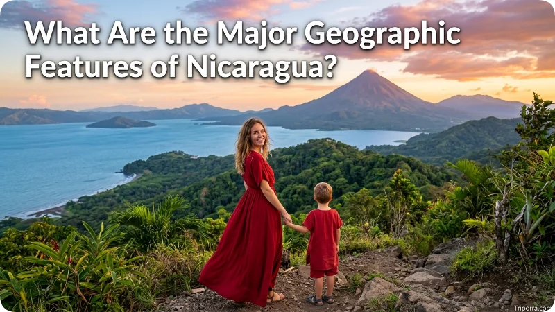
Nicaragua’s location is easier to understand when you look at its major physical features.
Lake Nicaragua
Lake Nicaragua, also called Lake Cocibolca, is one of the country’s most important geographic features.
It is located in southern Nicaragua, relatively close to the border with Costa Rica. The lake is a major part of the country’s central-southern landscape.
Lake Managua
Lake Managua, also known as Lake Xolotlán, is farther north of Lake Nicaragua.
Managua is located on its southwestern shore, making the lake an important geographic reference point for Nicaragua’s capital.
Pacific Lowlands
The western side of Nicaragua contains broad Pacific lowlands.
This area includes many of the country’s major population centers and lies between the Pacific coast and the interior highlands.
Caribbean Lowlands
Eastern Nicaragua extends toward the Caribbean Sea.
This area is commonly associated with tropical forests, rivers, wetlands, and a relatively lower population density than the western part of the country.
Where Is Nicaragua Compared With Honduras?
Nicaragua is south of Honduras.
The two countries share a land border in northern Nicaragua. Honduras also extends westward toward Guatemala and El Salvador, while Nicaragua stretches farther south toward Costa Rica.
A simple mental map is:
Honduras ↓ Nicaragua ↓ Costa Rica
This north-to-south arrangement is one of the easiest ways to locate Nicaragua in Central America.
Where Is Nicaragua Compared With Costa Rica?
Nicaragua is north of Costa Rica.
The two countries share a land border, making Costa Rica the most important southern geographic reference point for Nicaragua.
If you are traveling through Central America from north to south, Nicaragua comes after Honduras and before Costa Rica.
How Far Is Nicaragua From the United States?
Nicaragua is considerably south of the continental United States.
The distance depends on the U.S. reference point because Nicaragua is a country rather than a single city. For example, the distance from Managua to southern U.S. locations is much shorter than the distance to cities such as New York or Los Angeles.
Geographically, Nicaragua is closer to the southern United States than to many parts of the country, but it is separated from the United States by Mexico and other parts of Central America.
For a U.S. reader, the easiest mental picture is:
United States → Mexico → Central America → Nicaragua
What Are the Coordinates of Nicaragua?
Nicaragua is located approximately around 12.9° north latitude and 85.2° west longitude.
Because Nicaragua covers a large area, these coordinates are best understood as a general geographic reference rather than the exact position of every part of the country.
Its position places it firmly in the tropical zone of Central America, between the Pacific Ocean and Caribbean Sea.
Why Is Nicaragua’s Location Important?
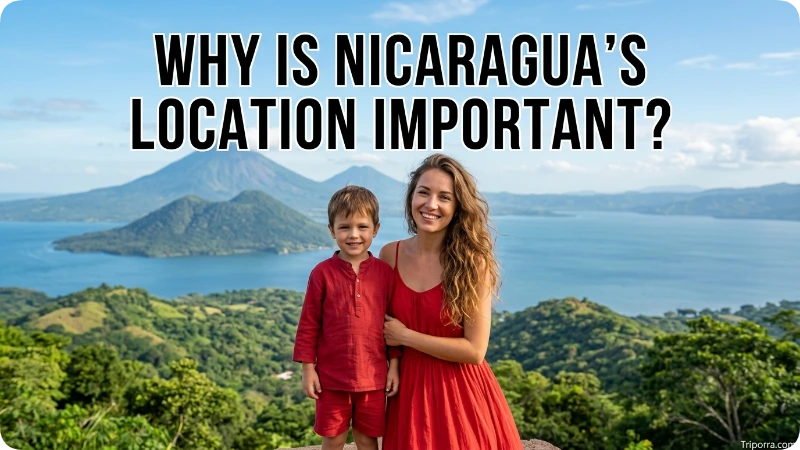
Nicaragua’s geographic position gives it a distinctive place in Central America.
It has:
- A Pacific coastline
- A Caribbean coastline
- Land borders with Honduras and Costa Rica
- Large freshwater lakes
- Volcanic areas
- Pacific lowlands
- Caribbean lowlands
- A central position on the Central American land bridge
The country’s geography is therefore shaped by both its east-west ocean connections and its north-south position between Honduras and Costa Rica.
Where Is Nicaragua’s Caribbean Coast?
The Caribbean coast occupies the eastern side of Nicaragua.
It is considerably more expansive than the country’s Pacific-facing region and includes the area commonly known as the Caribbean Coast or Caribbean lowlands.
The region extends toward the Caribbean Sea and includes communities and territories with strong Indigenous and Afro-Caribbean cultural influences.
For location purposes, the key point is simple: if you move east across Nicaragua, you eventually reach the Caribbean Sea.
Where Is Nicaragua’s Pacific Coast?
Nicaragua’s Pacific coast is on the western side of the country.
The Pacific-facing area is narrower than the Caribbean side and contains many of the country’s major cities and population centers.
The Pacific region is also associated with Nicaragua’s chain of volcanoes and several large lakes farther inland.
So, when looking at Nicaragua from west to east, the landscape can be understood roughly as:
Pacific Ocean → Pacific lowlands → lakes and highlands → Caribbean lowlands → Caribbean Sea
How Do You Find Nicaragua on a Map?
To find Nicaragua quickly on a map of the Americas:
- Find North America.
- Move south toward Central America.
- Locate Honduras.
- Look directly south of Honduras.
- The country there is Nicaragua.
- Continue south and you reach Costa Rica.
Another easy method is to locate the two oceans. Find the narrow Central American land bridge between the Pacific Ocean and Caribbean Sea, then look for the country positioned between Honduras and Costa Rica.
What Is Nicaragua’s Geographic Position?
Nicaragua occupies a central position in the southern part of Central America.
Its location can be summarized through four directions:
- North: Honduras
- South: Costa Rica
- West: Pacific Ocean
- East: Caribbean Sea
This four-part description gives you a reliable mental map without needing to look at a detailed atlas.
Is Nicaragua a Central American Country?
Yes. Nicaragua is a Central American country.
It is one of the seven independent countries of Central America and is located between Honduras and Costa Rica.
Although Central America is sometimes discussed separately from North and South America, it is geographically considered part of North America.
Frequently Asked Questions
Where is Nicaragua located?
Nicaragua is located in Central America, between Honduras to the north and Costa Rica to the south. The Pacific Ocean borders its western side, while the Caribbean Sea borders its eastern side.
Is Nicaragua in North America?
Yes. Nicaragua is in North America because Central America is geographically part of the North American continent.
What countries border Nicaragua?
Nicaragua has two land neighbors: Honduras to the north and Costa Rica to the south.
Is Nicaragua in Central America?
Yes. Nicaragua is one of the seven countries of Central America.
What ocean is west of Nicaragua?
The Pacific Ocean is west of Nicaragua.
What sea is east of Nicaragua?
The Caribbean Sea is east of Nicaragua.
What is the capital of Nicaragua?
The capital of Nicaragua is Managua, located in the western-central part of the country near Lake Managua.
Where is Nicaragua compared with Costa Rica?
Nicaragua is north of Costa Rica, and the two countries share a land border.
Where is Nicaragua compared with Honduras?
Nicaragua is south of Honduras, and the two countries share a land border.
What are Nicaragua’s coordinates?
Nicaragua is approximately centered around 12.9° N latitude and 85.2° W longitude, although the country covers a much larger area than these reference coordinates suggest.
Is Nicaragua closer to the Pacific or Caribbean?
Nicaragua has access to both. The Pacific Ocean is on its western side, while the Caribbean Sea is on its eastern side.
Is Nicaragua part of Mexico?
No. Nicaragua is an independent country in Central America. Mexico is farther north, beyond Guatemala and Belize.
Conclusion
So, where is Nicaragua located? Nicaragua is in Central America, within the continent of North America. It lies between Honduras to the north and Costa Rica to the south, with the Pacific Ocean to the west and Caribbean Sea to the east.
The simplest mental map is Honduras → Nicaragua → Costa Rica, with two major bodies of water on either side. Its capital, Managua, sits in the western-central part of the country near Lake Managua. This position makes Nicaragua a clearly identifiable part of the Central American land bridge.

Elena Rostova bridges the gap between premium hospitality and authentic local experiences. Armed with a background in luxury hospitality management and a passion for fine architecture, she spent years evaluating elite resorts before transitioning into travel journalism. Elena heads the luxury and boutique travel vertical on Triporra.com. Her meticulous guides strip away the guesswork from high-end travel, showcasing unique five-star escapes, fine regional dining, and bespoke private tours that elevate a standard vacation into an unforgettable journey.