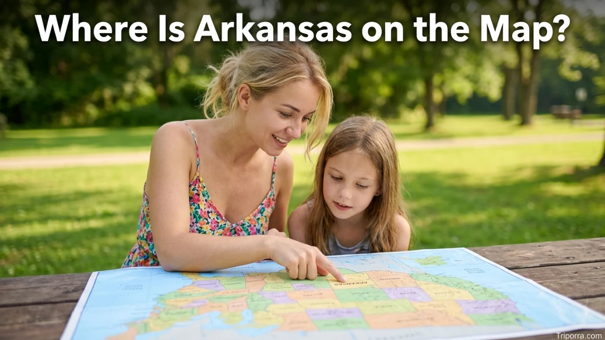
Arkansas is a state in the south-central United States. It lies in the South, in the West South Central division, between Missouri and Louisiana. Arkansas borders six states: Missouri, Tennessee, Mississippi, Louisiana, Texas, and Oklahoma. Its capital and largest city is Little Rock, located near the center of the state.
Introduction
Arkansas is located in the south-central part of the United States, north of Louisiana and west of the Mississippi River. On a U.S. map, you can find it between Missouri to the north, Oklahoma and Texas to the west, and Mississippi and Tennessee to the east. Louisiana forms much of its southern boundary.
Arkansas is part of the U.S. South and the West South Central division used by the U.S. Census Bureau. Its approximate geographic center is near 35° north latitude and 92° west longitude.
The state sits east of Oklahoma and Texas and west of the Mississippi River. This position places Arkansas between the Great Plains and the Mississippi River Valley. The state capital, Little Rock, is near the central part of Arkansas and serves as a useful reference point when locating the state on a map.
Quick Facts About Arkansas
| Fact | Information |
|---|---|
| State | Arkansas |
| Abbreviation | AR |
| Country | United States |
| Continent | North America |
| U.S. Region | South |
| Census Division | West South Central |
| Capital | Little Rock |
| Largest City | Little Rock |
| Approximate Center | 34.9° N, 92.4° W |
| Time Zone | Central Time |
| Bordering States | Missouri, Tennessee, Mississippi, Louisiana, Texas, Oklahoma |
| Major River | Mississippi River |
| Other Major Rivers | Arkansas, White, Ouachita, Red |
| Nickname | The Natural State |
The U.S. Census Bureau places Arkansas in the South region and West South Central division. The state’s geographic center is approximately 34.9° N, 92.4° W.
Where Is Arkansas Located in the United States?

Arkansas is in the southern half of the United States, but its position is also described as south-central. It is not directly on the Gulf of Mexico, although it is relatively close to the Gulf Coast through neighboring Louisiana and Texas.
On a map, Arkansas sits:
- South of Missouri
- North of Louisiana
- West of Mississippi
- West of Tennessee
- East of Oklahoma
- East of Texas
This makes Arkansas a useful geographic link between the central Plains, the Mississippi River Valley, and the lower South.
The Mississippi River forms much of Arkansas’s eastern boundary. The river separates Arkansas from Mississippi on the southeast and from Tennessee farther north.
What Region Is Arkansas In?
Arkansas is part of the South according to the U.S. Census Bureau. More specifically, it belongs to the West South Central division, along with Texas, Oklahoma, and Louisiana.
This regional classification helps explain Arkansas’s position on a national map. It is farther west than Mississippi, Alabama, and Georgia, while it is east of Oklahoma and much of Texas.
Geographically, Arkansas also connects several major landscape areas. The northern and western parts include the Ozark Plateau and Ouachita Mountains, while the eastern side includes broad lowlands associated with the Mississippi River.
What States Border Arkansas?
Arkansas shares borders with six states:
- Missouri — north
- Tennessee — east
- Mississippi — east and southeast
- Louisiana — south
- Texas — southwest
- Oklahoma — west
The Census Bureau confirms these six neighboring states.
Arkansas and Missouri
Missouri is directly north of Arkansas. The two states meet along a boundary that places the southern edge of Missouri above the northern part of Arkansas.
Arkansas and Oklahoma
Oklahoma borders Arkansas on the west. The boundary runs through the state’s western region, including areas near the Ozark and Ouachita landscapes.
Arkansas and Texas
Texas touches Arkansas at its southwestern corner. The border is relatively short compared with Arkansas’s boundaries with Missouri, Louisiana, or Mississippi.
Arkansas and Louisiana
Louisiana lies directly south of Arkansas. The two states share a long southern boundary, making Louisiana one of the easiest states to identify when locating Arkansas on a map.
Arkansas and Mississippi
Mississippi lies east of Arkansas across the Mississippi River. The river is a major geographic feature along this part of the state boundary.
Arkansas and Tennessee
Tennessee is northeast and east of Arkansas. The Mississippi River separates much of the Arkansas-Tennessee boundary.
Where Is Arkansas on a U.S. Map?
If you look at a map of the lower 48 states, start near the middle of the country and move toward the southeast. Find Oklahoma and Missouri. Arkansas is immediately east of Oklahoma and south of Missouri.
From there, the Mississippi River marks much of the state’s eastern side. Mississippi is across the river to the east, while Louisiana lies below Arkansas.
A simple way to picture its position is:
Missouri ↓ Arkansas → Mississippi and Tennessee ↓ Louisiana
Oklahoma lies to the west, with Texas farther southwest.
This map position places Arkansas between the central United States and the lower Mississippi Valley.
Where Is Arkansas Compared With Major Cities?

Arkansas is within reach of several major cities in the central and southern United States. Distances vary depending on the starting point in Arkansas, so the following comparisons are approximate.
- Memphis, Tennessee: about 140 miles east of Little Rock.
- Oklahoma City, Oklahoma: roughly 300 miles northwest of Little Rock.
- Dallas, Texas: roughly 320 miles southwest of Little Rock.
- St. Louis, Missouri: roughly 300 miles north of Little Rock.
- Nashville, Tennessee: roughly 350 miles northeast of Little Rock.
Little Rock provides the most useful reference point because it is both the state capital and largest city. These distances are broad geographic comparisons rather than exact driving distances.
Where Is Little Rock in Arkansas?
Little Rock is located near the central part of Arkansas along the Arkansas River. It is the state capital and largest city.
Its central position makes Little Rock a useful starting point for understanding Arkansas’s geography. The city is west of the Mississippi River and east of the Ouachita Mountains.
On a map of Arkansas, Little Rock sits somewhat near the middle of the state, although it is slightly south of the state’s geographic center.
What Major Geographic Features Help Locate Arkansas?

Several natural features make Arkansas easier to identify on a map.
Mississippi River
The Mississippi River is the most important geographic reference along Arkansas’s eastern side. It forms much of the state’s eastern border and separates Arkansas from parts of Mississippi and Tennessee.
Arkansas River
The Arkansas River crosses the state from west toward the east. It is one of the state’s major rivers and eventually joins the Mississippi River.
Ozark Plateau
The Ozark Plateau covers much of northern Arkansas and extends into neighboring states. It is one of the major physical regions that helps define the state’s northern landscape.
Ouachita Mountains
The Ouachita Mountains occupy much of western-central Arkansas. They help distinguish the state’s interior from the flatter areas farther east and south.
Arkansas Delta
The eastern part of Arkansas includes low, flat land associated with the Mississippi River and its floodplain. This area is commonly known as the Arkansas Delta.
What Are the Coordinates of Arkansas?
The geographic center of Arkansas is approximately 35° north latitude and 92° west longitude. Current Census geographic data place the state’s internal point at about 34.90° N, 92.44° W.
These coordinates provide a general map reference rather than a precise point representing the entire state. Arkansas covers a large area, so its northern, southern, eastern, and western edges have different coordinates.
What Time Zone Is Arkansas In?

Arkansas uses the Central Time Zone.
During standard time, Arkansas observes Central Standard Time, or UTC−6. During daylight saving time, it observes Central Daylight Time, or UTC−5.
The Central Time Zone also covers several neighboring states, including Louisiana, Oklahoma, and most of Texas.
Is Arkansas in the Midwest or the South?
Arkansas is classified as part of the South, not the Midwest, by the U.S. Census Bureau. It belongs specifically to the West South Central division.
Its location can sometimes make the state’s geography seem like a transition between regions. Arkansas lies west of the Mississippi River and south of Missouri, while Oklahoma and Texas extend westward from it.
For standard U.S. regional classification, however, Arkansas is a Southern state.
Is Arkansas Near the Mississippi River?
Yes. The Mississippi River forms much of Arkansas’s eastern border, making the river one of the clearest geographic markers for locating the state.
This means Arkansas is directly connected to one of the major river systems of North America. Several rivers within Arkansas eventually drain toward the Mississippi River.
The Mississippi also helps explain why cities and regions on the eastern side of Arkansas have strong geographic connections with Tennessee and Mississippi.
FAQS
What state is Arkansas in?
Arkansas is itself a U.S. state. It is located in the southern part of the United States and belongs to the West South Central division.
What states are next to Arkansas?
Arkansas borders Missouri, Tennessee, Mississippi, Louisiana, Texas, and Oklahoma.
Is Arkansas in the South?
Yes. The U.S. Census Bureau classifies Arkansas in the South, specifically the West South Central division.
What is the capital of Arkansas?
The capital of Arkansas is Little Rock, which is also the state’s largest city.
Is Arkansas east or west of the Mississippi River?
Arkansas is west of the Mississippi River. The river forms much of the state’s eastern boundary.
Is Arkansas near Texas?
Yes. Texas borders Arkansas at the state’s southwestern corner. Texas is one of the six states that share a border with Arkansas.
Is Arkansas near Tennessee?
Yes. Tennessee borders Arkansas along the state’s eastern side, with the Mississippi River forming much of the boundary between them.
What is Arkansas’s approximate location?
Arkansas is approximately 35° north latitude and 92° west longitude. Its position places it in the south-central United States, west of the Mississippi River and between Missouri and Louisiana.
Conclusion
Arkansas is located in the South-central United States, within the Census Bureau’s West South Central division. On the map, it sits south of Missouri, east of Oklahoma, north of Louisiana, and west of the Mississippi River. It borders six states and is centered around the capital city of Little Rock.

Elena Rostova bridges the gap between premium hospitality and authentic local experiences. Armed with a background in luxury hospitality management and a passion for fine architecture, she spent years evaluating elite resorts before transitioning into travel journalism. Elena heads the luxury and boutique travel vertical on Triporra.com. Her meticulous guides strip away the guesswork from high-end travel, showcasing unique five-star escapes, fine regional dining, and bespoke private tours that elevate a standard vacation into an unforgettable journey.