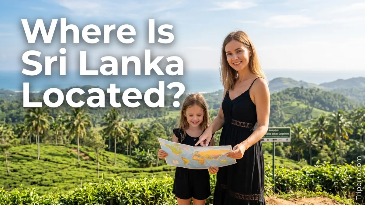
Sri Lanka is an island country in South Asia, located in the Indian Ocean just southeast of India. More specifically, it lies south of the Indian subcontinent and is separated from India by the Palk Strait and Gulf of Mannar.
Introduction
If you are searching for where Sri Lanka is located, picture a small island just below the southern tip of India. Geographically, Sri Lanka belongs to South Asia, although it is separated from mainland Asia by the Indian Ocean and nearby straits.
In simple terms, you can find Sri Lanka directly south of India. Because of this position, the island has close geographic links with the Indian subcontinent while remaining an independent country.
Furthermore, Sri Lanka sits in a key part of the Indian Ocean. Its location places it near major maritime routes connecting South Asia with Southeast Asia, the Middle East, and other regions.
Sri Lanka Quick Facts
| Fact | Information |
|---|---|
| Location | South Asia |
| Country Type | Island country |
| Ocean | Indian Ocean |
| Nearest Mainland Country | India |
| Administrative Capital | Sri Jayawardenepura Kotte |
| Largest City | Colombo |
| Coordinates | About 5°55′–9°51′ N, 79°41′–81°53′ E |
| Area | About 65,610 sq km |
| Continent | Asia |
| Time Zone | Sri Lanka Standard Time, UTC+5:30 |
| Highest Point | Pidurutalagala, 2,524 m |
Overall, these facts provide a quick picture of Sri Lanka’s geographic position. The country covers about 65,610 square kilometers and lies close to the southern end of the Indian subcontinent.
Where Is Sri Lanka on the Map?
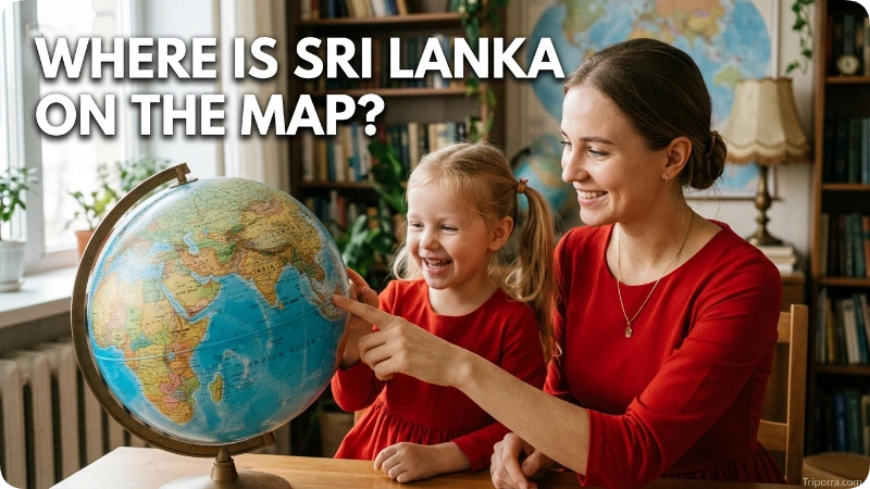
On a world map, first locate India in southern Asia. Then, look below the southern part of the Indian peninsula. You will find Sri Lanka as a separate island in the Indian Ocean.
More specifically, the northern part of Sri Lanka is closest to India. The two countries are separated by the Palk Strait and Gulf of Mannar.
From a geographic viewpoint, Sri Lanka is:
- South of India
- Southeast of the main Indian subcontinent
- North of the central Indian Ocean
- West of the Bay of Bengal
- East of the Arabian Sea region
As a result, Sri Lanka is easy to identify on a map once you locate southern India. The island sits just offshore rather than being connected to the mainland.
What Country Is Sri Lanka Near?
Sri Lanka is closest to India. Unlike countries that share a land border, however, Sri Lanka and India are separated by water.
The Palk Strait lies between northern Sri Lanka and southeastern India. In addition, the Gulf of Mannar forms another important body of water between the two countries.
Sri Lanka’s northern coast is particularly close to India’s Tamil Nadu region. Therefore, southern India is the most useful mainland reference point when trying to understand Sri Lanka’s location.
Is Sri Lanka Part of India?
No. Sri Lanka is an independent country and is not part of India.
Although the two countries are geographically close, they have separate governments and territories. Instead, the sea separates Sri Lanka from the Indian mainland.
The Palk Strait and Gulf of Mannar are especially important in understanding this relationship. Therefore, a map may show Sri Lanka very close to India, but the two remain separate countries.
What Region Is Sri Lanka In?

Sri Lanka is located in South Asia. Along with countries such as India, Pakistan, Bangladesh, Nepal, Bhutan, and the Maldives, it forms part of the broader South Asian region.
At the same time, Sri Lanka is an important island country within the Indian Ocean region. Its geographic position connects South Asia with major ocean routes.
Because Sri Lanka sits near the southern edge of South Asia, its location is easy to describe using both regional and ocean-based references. It is a South Asian country surrounded by Indian Ocean waters.
What Is Sri Lanka Surrounded By?
Sri Lanka is surrounded by the Indian Ocean and nearby connected seas and straits.
To the north, the island faces India across the Palk Strait and Gulf of Mannar. Meanwhile, the Bay of Bengal lies to the northeast, while the broader Indian Ocean extends around the southern part of the island.
A simple mental map looks like this:
- India: north and northwest
- Palk Strait: between northern Sri Lanka and southern India
- Gulf of Mannar: northwest of Sri Lanka
- Bay of Bengal: northeast
- Indian Ocean: around the southern, western, and eastern sides
In other words, Sri Lanka sits like an island below the Indian peninsula. Its surrounding waters help define its geographic identity.
What Are the Coordinates of Sri Lanka?
Sri Lanka lies approximately between 5°55′ and 9°51′ north latitude and 79°41′ and 81°53′ east longitude.
Therefore, the country is located in both the Northern and Eastern Hemispheres. Its southern areas are also relatively close to the Equator.
Because of its latitude, Sri Lanka lies within the tropical part of the world. However, elevation creates noticeable differences between its coastal areas and central highlands.
Where Is Colombo in Sri Lanka?
Colombo is located on the western coast of Sri Lanka, beside the Indian Ocean.
It is the country’s largest city and an important commercial center. In addition, Colombo is one of the main transportation and economic hubs on the island.
Sri Jayawardenepura Kotte, the administrative and legislative capital, is located close to Colombo. As a result, the southwestern part of Sri Lanka contains two of the country’s most important urban centers.
Where Is Sri Jayawardenepura Kotte?
Sri Jayawardenepura Kotte is located in southwestern Sri Lanka, close to Colombo.
Although Colombo is the country’s largest city, Sri Jayawardenepura Kotte serves as the administrative and legislative capital.
For someone reading a map, both cities can be found in the southwestern part of the island. This makes the Colombo metropolitan area an important reference point for Sri Lanka’s western side.
What Are the Main Geographic Areas of Sri Lanka?
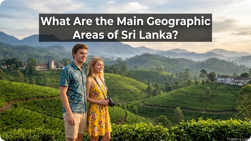
Sri Lanka has a varied landscape despite its relatively small size. Broadly, the country includes coastal areas, lowland plains, and central highlands.
The Central Highlands rise in the south-central part of the island. In fact, Pidurutalagala is Sri Lanka’s highest mountain, reaching about 2,524 meters above sea level.
Meanwhile, much of the country consists of lower plains and coastal areas. This creates a clear contrast between the mountainous interior and the flatter areas closer to the coast.
The main geographic areas can be understood as:
- Coastal areas — surrounding much of the island.
- Lowlands and plains — covering large parts of the country.
- Central highlands — rising across the south-central interior.
Together, these areas create the basic physical geography of Sri Lanka.
How Far Is Sri Lanka From India?
Sri Lanka is very close to India, especially when compared with many other countries in Asia.
However, the exact distance depends on which points in the two countries are being compared. The closest areas are separated by only a few dozen miles of sea.
The Palk Strait is the key geographic reference here. For this reason, maps often show Sri Lanka almost directly below the southeastern tip of India.
In practical geographic terms, southern India is the closest mainland reference point to Sri Lanka.
Where Is Sri Lanka Compared With the Equator?
Sri Lanka is north of the Equator.
More specifically, the southern part of the island is only about 6 degrees north of the Equator, while its northern areas reach roughly 10 degrees north.
Because Sri Lanka is so close to the Equator, it has a generally tropical geographic setting. Even so, temperatures vary across the country because the central highlands are much higher than the coastal plains.
What Is Sri Lanka’s Position Relative to the Bay of Bengal?
The Bay of Bengal is northeast of Sri Lanka.
By contrast, India’s southern peninsula lies mainly to the north and northwest. The Indian Ocean surrounds the island farther to the south.
This position gives Sri Lanka a useful geographic relationship with both the Indian subcontinent and the Bay of Bengal. As a result, the country sits near the meeting point of several important parts of the northern Indian Ocean.
How Do You Get to Sri Lanka?
Because Sri Lanka is an island, travelers generally reach the country by air or sea.
The main international air gateway is Bandaranaike International Airport, which is located near Katunayake, north of Colombo.
In addition, Sri Lanka has important ports that connect it with international maritime routes. Its position in the Indian Ocean makes the country accessible from other parts of South Asia and from destinations farther west and east.
For most international visitors, therefore, air travel provides the most direct way to reach the island.
Why Is Sri Lanka’s Location Important?
Sri Lanka’s location is important because it sits close to major sea routes in the Indian Ocean.
First, the island is close to the major population and economic centers of southern India. Second, its position provides access to shipping routes that connect Asia with the Middle East and Europe.
Furthermore, Sri Lanka’s central position in the northern Indian Ocean has made its ports and coastal areas geographically significant.
This does not change the basic answer to where Sri Lanka is located. Instead, it explains why the island’s position matters beyond its immediate surroundings.
Sri Lanka Location FAQs
Is Sri Lanka in Asia?
Yes. Sri Lanka is an Asian country located in South Asia. It is also an island country in the Indian Ocean.
Is Sri Lanka part of South Asia?
Yes. Sri Lanka is geographically part of South Asia, along with several countries on and around the Indian subcontinent.
Is Sri Lanka near India?
Yes. Sri Lanka is very close to India. The two countries are separated by the Palk Strait and Gulf of Mannar.
Is Sri Lanka in the Indian Ocean?
Yes. Sri Lanka is an island located in the Indian Ocean, just southeast of India.
What is the capital of Sri Lanka?
Sri Jayawardenepura Kotte is the administrative and legislative capital. Meanwhile, Colombo is the country’s largest city and main commercial center.
What is the largest city in Sri Lanka?
Colombo is the largest city in Sri Lanka and an important commercial and transportation center.
Does Sri Lanka share a land border with India?
No. Sri Lanka does not share a land border with India. Instead, the two countries are separated by water, including the Palk Strait and Gulf of Mannar.
Which ocean is Sri Lanka in?
Sri Lanka is located in the Indian Ocean. More specifically, it sits just southeast of the Indian subcontinent.
Is Sri Lanka north or south of India?
Sri Lanka is south of India. Its northern coast lies close to India’s southeastern coast.
Is Sri Lanka close to the Equator?
Yes. Sri Lanka is relatively close to the Equator, with its southern areas only about 6 degrees north of it.
What region is Sri Lanka part of?
Sri Lanka is part of South Asia. At the same time, it is an important island country within the broader Indian Ocean region.
Conclusion
So, where is Sri Lanka located? Sri Lanka is a South Asian island country in the Indian Ocean, just south and southeast of India. The Palk Strait and Gulf of Mannar separate it from the Indian mainland.
Overall, the easiest way to picture Sri Lanka is to find India on a map and then look directly below its southern tip. Colombo lies on the western side of the island, while Sri Jayawardenepura Kotte is the administrative capital.
In short, Sri Lanka’s location is defined by three key facts: it is south of India, part of South Asia, and surrounded by the Indian Ocean.

Elena Rostova bridges the gap between premium hospitality and authentic local experiences. Armed with a background in luxury hospitality management and a passion for fine architecture, she spent years evaluating elite resorts before transitioning into travel journalism. Elena heads the luxury and boutique travel vertical on Triporra.com. Her meticulous guides strip away the guesswork from high-end travel, showcasing unique five-star escapes, fine regional dining, and bespoke private tours that elevate a standard vacation into an unforgettable journey.