Introduction
Big Bend National Park is in southwest Texas, along the Rio Grande and the U.S.–Mexico border. The park lies entirely within Brewster County in the Trans-Pecos area of Texas. It is a large, remote landscape where the Chihuahuan Desert, Rio Grande, and Chisos Mountains meet. The nearest communities include Terlingua, Study Butte, Marathon, and Alpine, while larger cities such as El Paso and Midland-Odessa are several hours away.
Featured Snippet Answer
Big Bend National Park is in southwest Texas, in Brewster County along the Rio Grande and the U.S.–Mexico border. It occupies the large bend of the river in the Trans-Pecos region and lies within the Chihuahuan Desert. The park is about 100 miles south of Alpine and roughly 70 miles south of Marathon.
Quick Facts
| Fact | Information |
|---|---|
| Location | Southwest Texas |
| County | Brewster County |
| State | Texas |
| U.S. Region | South |
| Subregion | Trans-Pecos / Far West Texas |
| Country | United States |
| Continent | North America |
| Geographic Setting | Chihuahuan Desert and Rio Grande border region |
| Approximate Coordinates | 29.3° N, 103.2° W |
| Southern Boundary | Rio Grande |
| International Border | Mexico |
| Major Mountain Range | Chisos Mountains |
| Nearest Larger Community | Alpine, Texas |
| Alpine Distance | About 100 miles north of park headquarters |
| Marathon Distance | About 70 miles north of park headquarters |
| El Paso Distance | About 330 miles from park headquarters |
| Time Zone | Central Time |
| Park Status | U.S. national park |
| Reference Point | About 29.33° N, 103.21° W |
Where Is Big Bend National Park in Texas?
Big Bend National Park occupies the far southwestern part of Texas. It is part of Brewster County, the large county that covers much of this remote section of the state.
The park is commonly described as being in Southwest Texas or Far West Texas. More specifically, it is in the Trans-Pecos region, west of the Pecos River and close to the Texas–Mexico border. The National Park Service describes the park as lying at the southern end of Trans-Pecos Texas.
This location places Big Bend far from Texas’s largest metropolitan areas. The park is not inside a major city or suburban area. Instead, it occupies a huge area of desert, mountains, river valleys, and canyons.
The park’s name comes from the large bend made by the Rio Grande in this part of Texas. The river curves through the southern portion of the park and creates the international boundary between the United States and Mexico.
Where Is Big Bend on a Map?
On a map of Texas, Big Bend National Park appears in the southwestern corner of the state, close to the Mexican states of Chihuahua and Coahuila.
The park sits west of the central Texas region and south of the main population centers of West Texas. Alpine and Marathon are north of the park, while Presidio is to the west. The Rio Grande forms the park’s southern edge for more than 100 miles in places.
Its position can be understood through four major geographic relationships:
- North: Alpine and Marathon are north of the park.
- West: Presidio and the Rio Grande corridor lie toward the park’s western side.
- South: Mexico lies across the Rio Grande.
- East: The park extends toward the Rio Grande’s bend and the broader Brewster County landscape.
This makes Big Bend different from parks located near large urban areas. Its geographic identity comes from its remote position between the desert, mountains, river, and international border.
What County Is Big Bend National Park In?
Big Bend National Park is in Brewster County, Texas.
Brewster County occupies a large section of the Trans-Pecos region. The county includes the communities of Alpine, Marathon, Study Butte, Terlingua, and other small settlements outside the park.
The National Park Service’s geographic information places Big Bend in south Brewster County. The park covers about 801,000 acres, making it a major geographic feature of the county as well as one of the largest protected areas in the contiguous United States.
Because the park is so large, its landscape extends across several distinct geographic settings. Desert lowlands, mountain ranges, canyons, and river corridors all occur within its boundaries.
Is Big Bend National Park Near the Rio Grande?
Yes. The Rio Grande forms the southern boundary of Big Bend National Park and also serves as the international boundary between Texas and Mexico.
The river runs for more than 100 miles along the park’s southern edge. In several sections, it passes through deep canyons and narrow valleys before continuing along the international border.
This river relationship explains the name Big Bend. The Rio Grande makes a broad bend through this part of Texas, creating the geographic feature around which the park is organized.
The river also gives the park a distinctive position on the Texas map. Instead of simply being near the state border, Big Bend directly follows a substantial portion of the international boundary.
Is Big Bend National Park in the Chihuahuan Desert?
Yes. Big Bend National Park lies within the Chihuahuan Desert.
The Chihuahuan Desert covers a broad area of northern Mexico and the southwestern United States. In Texas, it extends across much of the Trans-Pecos region.
Within Big Bend, desert terrain occupies much of the lower landscape, while mountain ranges rise above it. This creates strong differences in elevation and terrain across a relatively compact geographic area.
The National Park Service notes that elevations in the park range from less than about 1,800 feet along the Rio Grande to nearly 8,000 feet in the Chisos Mountains.
That elevation range helps explain why the park contains several distinct physical environments rather than one uniform desert landscape.
Where Are the Chisos Mountains?
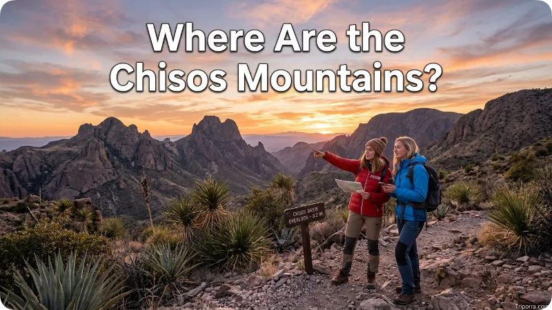
The Chisos Mountains are inside Big Bend National Park, near the central part of the park.
They form one of the park’s most important geographic landmarks. Unlike many mountain ranges that sit outside a protected area, the Chisos Mountains are enclosed within the national park.
The range rises dramatically above the surrounding desert. The National Park Service identifies elevations approaching 8,000 feet in the Chisos Mountains.
This creates an easy way to understand Big Bend’s geography: the park combines desert lowlands, high mountains, and the Rio Grande valley within one large protected area.
How Far Is Big Bend National Park From Alpine, Texas?
Alpine is about 100 miles north of Big Bend National Park’s headquarters at Panther Junction.
Alpine is one of the most important nearby communities for understanding the park’s location. It is in Brewster County and serves as a regional population and service center.
The National Park Service lists Alpine at about 100 miles north of Panther Junction. Texas State Highway 118 provides one of the main approaches from Alpine toward the park through Study Butte.
The distance varies depending on which point inside the park you use because Big Bend covers a very large area.
How Far Is Big Bend National Park From Marathon, Texas?
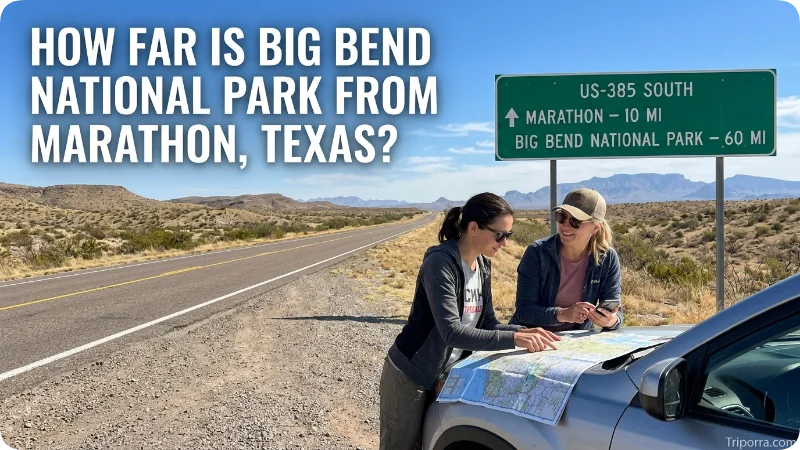
Marathon is about 70 miles north of Big Bend National Park headquarters.
U.S. Highway 385 connects the Marathon area with the park. From Marathon, the route continues south toward the park’s northern entrance and then farther toward Panther Junction.
Marathon is therefore one of the useful reference points when locating Big Bend on a Texas map. It lies north of the park in the same broad West Texas landscape.
How Far Is Big Bend National Park From El Paso?
El Paso is about 330 miles from Big Bend National Park headquarters by the route referenced by the National Park Service.
El Paso lies far to the northwest of the park. Although both locations are in West Texas, Big Bend is considerably farther southeast, closer to the Rio Grande’s large bend along the Mexican border.
The National Park Service lists El Paso International Airport at approximately 330 miles from park headquarters.
This distance helps show why Big Bend is considered a remote part of Texas rather than a park located close to a major metropolitan area.
How Far Is Big Bend National Park From Midland-Odessa?
The Midland-Odessa area is about 235 miles from Big Bend National Park headquarters, according to the National Park Service.
Midland and Odessa are located northeast of Big Bend in the broader West Texas region. They are much larger urban centers than the small communities immediately around the park.
The National Park Service identifies Midland/Odessa as one of the nearest areas with major commercial airline service.
What Is Big Bend National Park Near?
Several Texas communities help establish Big Bend’s position:
Terlingua and Study Butte are west of the central park area and provide important geographic reference points outside the park. The National Park Service places Terlingua about 30 miles west of Panther Junction.
Alpine is about 100 miles north of Panther Junction.
Marathon is about 70 miles north of park headquarters.
Presidio lies west of the park along the Rio Grande and is connected to the Study Butte area by FM 170.
El Paso is much farther northwest, about 330 miles from park headquarters.
These relationships show that Big Bend is surrounded mainly by small communities and open country rather than by large cities.
Is Big Bend National Park on the Mexico Border?
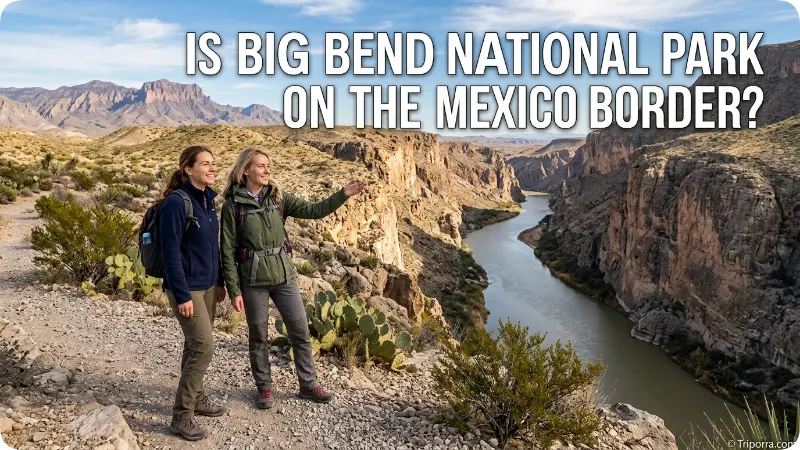
Yes. Big Bend National Park directly borders Mexico along the Rio Grande.
The Rio Grande forms the park’s southern boundary and, in this area, also serves as the international boundary between the United States and Mexico.
Across the river are parts of the Mexican states of Chihuahua and Coahuila, depending on the section of the border.
This border position is central to the park’s geography. The river, rather than a highway or artificial boundary, defines much of the southern edge of the protected area.
What Geographic Region Is Big Bend National Park In?
Big Bend National Park is in the South region of the United States, within the Southwest Texas and Trans-Pecos geographic area.
The four broad U.S. Census-style regions are Northeast, Midwest, South, and West. Texas is generally included in the South, while Big Bend’s local geography is more precisely described as Southwest Texas or Far West Texas.
The term Trans-Pecos is especially useful because it identifies the portion of Texas west of the Pecos River. Big Bend is one of the best-known protected landscapes in this region.
What Time Zone Is Big Bend National Park In?
Big Bend National Park uses Central Time.
The park is in Texas, and the local time zone is Central Time. USGS monitoring information for the Rio Grande within Big Bend lists the site in Central Time and recognizes daylight-saving time.
This means the park follows the same basic time system used in cities such as San Antonio, Dallas, and Houston.
Why Is Big Bend So Remote?
Big Bend’s location is shaped by its distance from major population centers and by the large amount of open land surrounding the park.
The National Park Service describes the area as remote and notes that distances between towns and services can be considerable. Several highways reach the park, including Texas 118, FM 170, U.S. 90, and U.S. 385.
The park also covers more than 800,000 acres, so even after reaching the park boundary, visitors may still have substantial distances to travel between geographic areas.
That scale is important when locating Big Bend. It is not a small park centered around one landmark. It is a large geographic region containing desert, mountains, river corridors, and canyons.
What Is the Geography of Big Bend National Park?
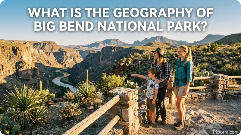
Big Bend combines several major landforms.
The Rio Grande marks the southern edge. The Chisos Mountains rise in the central part of the park. The surrounding Chihuahuan Desert covers broad areas of lower terrain. Other mountain ranges, mesas, canyons, and desert valleys add to the park’s varied landscape.
The National Park Service describes elevations ranging from less than about 1,800 feet near the Rio Grande to nearly 8,000 feet in the Chisos Mountains.
This large elevation difference is one of the clearest geographic features of Big Bend. A map of the park therefore shows much more than a flat desert landscape.
Where Is Big Bend National Park Compared With the Rest of Texas?
Big Bend sits near the far southwestern edge of Texas, far from the state’s major eastern and central population centers.
For a simple mental map, place El Paso toward the western side of Texas, then move southeast toward the Rio Grande. Big Bend lies well south of the main West Texas cities and close to the international border.
San Antonio and the central Texas population corridor are much farther east. Houston and Dallas-Fort Worth are even farther away.
The park’s position near the state’s southwestern border is why maps of Texas often show Big Bend as a large protected area separated from the state’s major urban centers by extensive stretches of open land.
FAQs
What state is Big Bend National Park in?
Big Bend National Park is in Texas, in the southwestern part of the state. It lies within Brewster County along the Rio Grande and the Mexico border.
What county is Big Bend National Park in?
The park is in Brewster County, Texas. Its large boundaries occupy much of the southern portion of the county.
Is Big Bend National Park near Mexico?
Yes. The park directly borders Mexico along the Rio Grande. The river forms the park’s southern boundary and the international boundary in this area.
Is Big Bend National Park near El Paso?
It is in the same broad West Texas region, but El Paso is still far away. The National Park Service lists El Paso at about 330 miles from park headquarters.
How far is Big Bend from Alpine, Texas?
Alpine is about 100 miles north of Panther Junction, the location of Big Bend’s park headquarters.
Is Big Bend National Park in the Chihuahuan Desert?
Yes. Big Bend lies within the Chihuahuan Desert, with desert terrain surrounding the Chisos Mountains and extending toward the Rio Grande.
What river runs through or along Big Bend National Park?
The Rio Grande runs along the park’s southern boundary. More than 100 miles of the river form the southern edge of the park in this region.
What mountains are in Big Bend National Park?
The Chisos Mountains are located inside the park. They rise from the surrounding desert and reach elevations approaching 8,000 feet.
Conclusion
Big Bend National Park is in Brewster County in southwest Texas, within the Trans-Pecos region and the Chihuahuan Desert. Its defining geographic feature is the Rio Grande, which forms its southern boundary and the international border with Mexico. Alpine and Marathon lie to the north, while El Paso is much farther northwest. The Chisos Mountains add a major high-elevation landscape inside the park. Together, the desert, mountains, river, and border place Big Bend in one of the most geographically distinct areas of Texas.

About Leo Sterling
Leo Sterling is a geography and travel writer at Triporra.com who believes understanding a place starts with knowing exactly where it is. He turns geographic details on countries, regions, islands, and cities into clear, engaging content for everyday readers.
For Leo, a good location article does more than mark a spot on a map. It shows what borders a place, which region it belongs to, and how it connects to the world around it—an approach reflected in guides like where is Anguilla, where solid research meets a simple, conversational style.
Whether readers are planning a trip, studying, or just curious, Leo’s goal is the same: deliver accurate, easy-to-understand information without unnecessary complexity.
Areas of Focus: Geography | Countries & Regions | Caribbean Islands | Travel Destinations | Location Research | “Where Is?” Content










