Edmonton is the capital city of Alberta, Canada, located in the central part of the province along the North Saskatchewan River. It sits in western Canada at approximately 53.5° N latitude and 113.5° W longitude. The city is north of Calgary and serves as the center of the Edmonton metropolitan region.
For anyone looking at a map of Canada, the Alberta capital is in the western part of the country, east of the Rocky Mountains and north of Calgary. Nearby communities include St. Albert, Sherwood Park, Fort Saskatchewan, Beaumont, Leduc, Spruce Grove, and Stony Plain.
The geographic hierarchy is:
Edmonton → Alberta → Canada → North America
Featured Snippet Answer
Edmonton is the capital of Alberta, Canada, in the central part of the province along the North Saskatchewan River. It lies in western Canada, about 180 miles north of Calgary by road. The city is also the core of the Edmonton Metropolitan Region and sits at roughly 53.5° N, 113.5° W.
Quick Facts
| Fact | Information |
|---|---|
| City | Edmonton |
| Province | Alberta |
| Country | Canada |
| Continent | North America |
| Capital Status | Provincial capital of Alberta |
| Geographic Region | Western Canada |
| Provincial Area | Central Alberta |
| Major River | North Saskatchewan River |
| Coordinates | About 53.5° N, 113.5° W |
| Elevation | About 668 meters (2,192 feet) |
| Metropolitan Region | Edmonton Metropolitan Region |
| Population | 1,010,899 in the 2021 census |
| Nearby Major City | Calgary |
| Nearby Cities | St. Albert, Leduc, Fort Saskatchewan, Spruce Grove |
| Time Zone | Mountain Time |
| Standard Time | Mountain Standard Time (MST) |
| Daylight Time | Mountain Daylight Time (MDT) |
| Road Distance to Calgary | About 180 miles south |
| Major Geographic Feature | North Saskatchewan River |
The City of Edmonton identifies the municipality as Alberta’s capital and places it along the North Saskatchewan River at approximately 53°32′43″ N and 113°29′24″ W. Statistics Canada recorded a population of 1,010,899 in the 2021 census.
Where Is Edmonton Located?
The city is located in Alberta, a province in western Canada. It occupies a central position within the province, although it sits somewhat north of Alberta’s geographic midpoint.
The North Saskatchewan River passes through the urban area from west to east. Its river valley is one of the most recognizable physical features in the city and plays an important role in understanding the local landscape.
The approximate coordinates are 53.5° N and 113.5° W. This places the Alberta capital well north of the U.S.-Canada border and east of the Canadian Rocky Mountains.
The municipality also serves as the central urban area of the Edmonton Metropolitan Region. The broader region includes Edmonton and surrounding municipalities such as St. Albert, Fort Saskatchewan, Leduc, Spruce Grove, Beaumont, Stony Plain, and several counties.
What Province Is Edmonton In?

Edmonton is in the province of Alberta.
Alberta is one of Canada’s western provinces. It borders British Columbia to the west, Saskatchewan to the east, the Northwest Territories to the north, and the U.S. state of Montana to the south.
The city serves as Alberta’s provincial capital and is home to the provincial government. As a result, it functions as the province’s political and administrative center.
Calgary is Alberta’s largest city, while Edmonton serves as the capital. Together, they form the province’s two major urban centers and are connected by the important Calgary–Edmonton corridor.
Is Edmonton in Canada?
Yes. Edmonton is a city in Canada.
Canada occupies much of northern North America and is the world’s second-largest country by area. Alberta is located in the western portion of the country.
A simple geographic hierarchy is:
Edmonton → Alberta → Canada → North America
This helps distinguish the Canadian city from places with similar names elsewhere.
Is Edmonton the Capital of Alberta?
Yes. Edmonton is the capital of Alberta.
The provincial government is based there, making the city the administrative center of the province.
Its capital status is one of the clearest ways to identify the location. A short geographic description is:
Edmonton is the capital of Alberta in western Canada.
Although Calgary has a larger population, the two cities have different roles within the province.
Is Edmonton in Central Alberta?
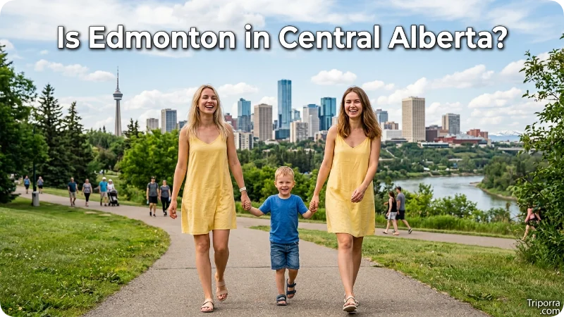
The city is generally described as being in central Alberta.
The province stretches from the U.S. border in the south toward the Northwest Territories in the north. The Alberta capital sits considerably north of Calgary and serves as an important urban center for central and northern areas.
For some administrative purposes, government information places the municipality within the North Central area. At a broader geographic level, however, it is commonly identified with central Alberta.
This distinction matters because the province covers a very large area. The city is not close to Alberta’s southern border and is much farther north than Calgary.
Where Is Edmonton on a Map?
On a map of Canada, the city appears in the western half of the country, inside Alberta.
A simple mental map is:
British Columbia → Alberta → Saskatchewan
The municipality is positioned closer to Alberta’s northern half than Calgary. Saskatchewan begins to the east, while British Columbia lies to the west.
The Rocky Mountains are also west of the city. They are not located within the municipality itself, but the mountain range provides an important geographic reference for understanding Alberta.
Another useful landmark is the North Saskatchewan River, which passes directly through the urban area.
How Far Is Edmonton From Calgary?
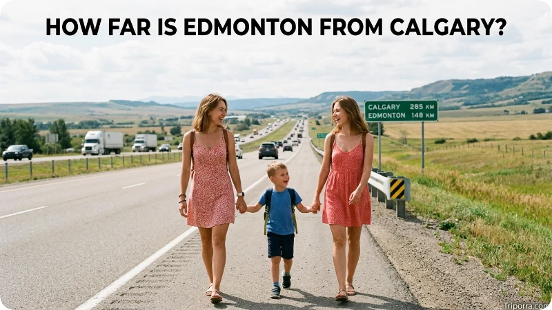
The road distance between Edmonton and Calgary is approximately 180 miles, or about 290 kilometers.
Calgary lies to the south, while the Alberta capital sits farther north. The two cities are connected by major transportation routes forming the Calgary–Edmonton corridor.
The exact distance can vary depending on the starting and ending points, but about 180 miles is a useful general figure.
The easiest relationship to remember is:
Edmonton is north of Calgary.
Calgary is closer to Alberta’s southern border and the Rocky Mountains, while the northern city sits along the North Saskatchewan River.
How Far Is Edmonton From Saskatoon?
Saskatoon is located in neighboring Saskatchewan, to the east of the Alberta capital.
The two cities are roughly 325 miles apart by road, depending on the route and the exact points measured.
Their positions create another useful mental map:
- Calgary is generally south.
- Saskatoon is generally east.
- The Rocky Mountains are west.
- Northern Alberta extends north.
These relationships make it easier to understand the city’s position without studying a detailed map.
How Far Is Edmonton From Vancouver?
Vancouver is located in British Columbia, west of Alberta.
The road distance is roughly 720 miles, although the actual figure varies with the route. The straight-line distance is shorter.
This comparison shows that the Alberta capital is an inland Canadian city rather than a coastal location. British Columbia lies to the west, with the Rocky Mountains forming a major physical barrier between the Edmonton area and much of the province.
What River Runs Through Edmonton?
The North Saskatchewan River runs through the city.
It is one of the most important geographic features in the area. The river valley creates a broad natural corridor through the urban landscape and provides an easy reference point when locating the municipality.
The river continues eastward through Alberta and Saskatchewan before becoming part of the South Saskatchewan River system.
For map purposes, a useful description is:
Edmonton is a major inland city built along the North Saskatchewan River.
What Region of Canada Is Edmonton In?
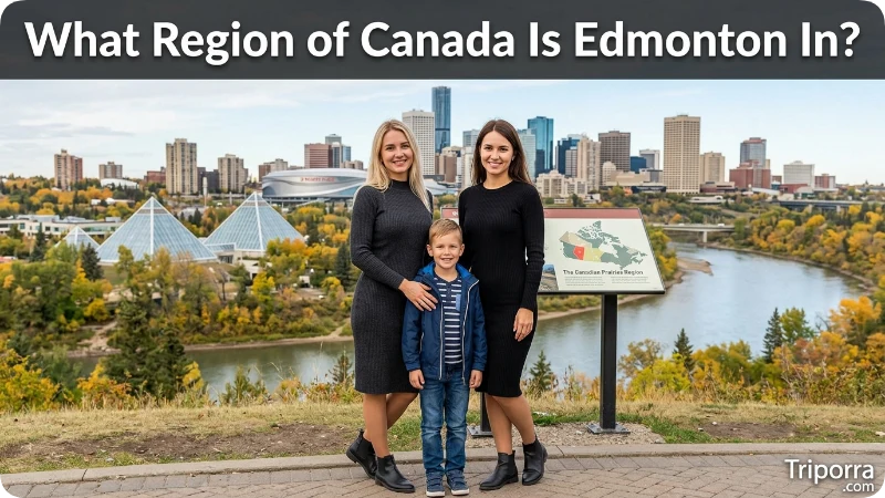
The city is in western Canada.
Canada is commonly divided into broad regions such as Atlantic Canada, Central Canada, the Prairies, and Western Canada. Alberta belongs to the western part of the country.
At the provincial level, the municipality is generally associated with central Alberta. It also serves as the main urban center of the Edmonton metropolitan area.
Alberta, Saskatchewan, and Manitoba make up Canada’s Prairie provinces. The local landscape around the Alberta capital includes prairie and parkland characteristics, although its position and physical geography differ from many of the flatter southern prairie areas.
Is Edmonton Near the Rocky Mountains?
The city is east of the Rocky Mountains, but it is not itself a mountain city.
The Rocky Mountains lie farther west across Alberta and British Columbia. They provide an important geographic reference, but the municipality sits on relatively open terrain along the North Saskatchewan River valley.
This distinction is useful because Alberta is strongly associated with the Rockies, while the immediate surroundings of the capital have a different landscape.
The urban area is an inland center surrounded by prairie and parkland terrain rather than mountain peaks.
What Cities Are Near Edmonton?
Several cities and urban communities are close to the provincial capital.
St. Albert is immediately northwest and forms part of the Edmonton metropolitan area.
Sherwood Park lies east of the city and is part of Strathcona County. It is one of the largest urban communities in the wider metropolitan area.
Fort Saskatchewan is northeast and is also part of the metropolitan region.
Leduc is south of the city, near Edmonton International Airport.
Beaumont is southeast, while Spruce Grove and Stony Plain are located to the west.
These communities help form the larger metropolitan area. Alberta’s metropolitan planning framework includes 13 municipalities in the Edmonton Metropolitan Region Board.
Is Edmonton a County?
No. Edmonton is a city, not a county.
This distinction can be important for readers familiar with the U.S. system, where cities are often associated with counties.
Alberta has a different municipal structure. The province recognizes cities, towns, villages, municipal districts, specialized municipalities, and other municipal forms.
The municipality operates as its own incorporated city rather than having a conventional U.S.-style county designation.
It does, however, work closely with surrounding municipalities and counties through the larger Edmonton metropolitan region.
What Time Zone Is Edmonton In?
The city uses Mountain Time.
During standard time, it observes Mountain Standard Time (MST), which is UTC−7. During daylight saving time, Alberta uses Mountain Daylight Time (MDT), which is UTC−6.
This places the Alberta capital in the same broad time-zone family as Calgary and several other cities in western North America.
What Are Edmonton’s Coordinates?
The approximate coordinates are:
53.5° N latitude and 113.5° W longitude
The City of Edmonton provides a more precise reference point of approximately 53°32′43″ north latitude and 113°29′24″ west longitude.
Coordinates offer a precise way to locate the city on Earth. For most readers, however, the following description is easier to understand:
It is in central Alberta, north of Calgary, east of the Rocky Mountains, and along the North Saskatchewan River.
Is Edmonton North or South of Calgary?
Edmonton is north of Calgary.
This is one of the simplest ways to locate the city within Alberta.
Calgary is farther south, while the provincial capital sits farther north along the North Saskatchewan River. The two urban centers are connected by a major north-south transportation corridor.
The road distance is roughly 180 miles.
If you know where Calgary is on a map of Alberta, moving north along the province’s main urban corridor leads toward Edmonton.
Is Edmonton East or West of Saskatoon?
Edmonton is west of Saskatoon.
Saskatoon is in Saskatchewan, the province directly east of Alberta. The two cities are connected through transportation routes that cross the Alberta-Saskatchewan border.
This comparison provides a useful east-west reference. Calgary helps explain the city’s north-south position, while Saskatoon helps explain its position relative to Saskatchewan.
Edmonton and the Edmonton Metropolitan Region
The municipality is the central city of the Edmonton Metropolitan Region.
The broader region includes surrounding urban and rural municipalities such as St. Albert, Fort Saskatchewan, Leduc, Beaumont, Spruce Grove, Stony Plain, and several counties.
The metropolitan area is important because the urban environment extends beyond the municipal boundary. Roads, employment areas, housing, services, and daily travel connect the central city with nearby communities.
Alberta’s metropolitan planning framework includes 13 municipalities within the Edmonton Metropolitan Region Board.
Therefore, the terms have different meanings:
- Edmonton refers specifically to the incorporated city.
- Edmonton metropolitan area refers to the broader urban region surrounding it.
Is Edmonton in the Northern or Southern Part of Alberta?
The city is in the central-to-northern part of Alberta, rather than the southern part of the province.
Calgary is farther south, while Edmonton sits farther north along the North Saskatchewan River. Northern Alberta continues for hundreds of miles beyond the city toward the Northwest Territories.
Its position helps explain why the municipality serves as an important urban center for northern and central parts of the province.
At the same time, it should not be confused with far northern Alberta. The province extends much farther north beyond the metropolitan area.
Why Edmonton’s Location Matters
The city’s geographic position gives it several important roles within Alberta and western Canada.
It is:
- The provincial capital of Alberta
- A major city along the North Saskatchewan River
- The central municipality of the Edmonton Metropolitan Region
- North of Calgary
- West of Saskatchewan
- East of the Rocky Mountains
- An inland city in western Canada
- Part of the broader Calgary–Edmonton urban corridor
Its position connects central Alberta with northern areas of the province while maintaining strong transportation and economic links with Calgary and communities to the east and west.
For someone trying to locate the city quickly, the simplest description is:
Edmonton is a major Canadian city in central Alberta, north of Calgary and along the North Saskatchewan River.
FAQs
What state is Edmonton in?
Edmonton is not in a U.S. state. It is a city in the province of Alberta, Canada, and serves as Alberta’s provincial capital.
Is Edmonton in Canada?
Yes. The city is in Canada, within the province of Alberta. Canada is part of North America.
What province is Edmonton in?
It is in Alberta, one of Canada’s western provinces. The city serves as the provincial capital.
Is Edmonton near Calgary?
Yes. Calgary and Edmonton are the two major cities of Alberta. The road distance is about 180 miles, with Calgary located south of Edmonton.
What river is Edmonton on?
The city is located along the North Saskatchewan River, which passes through the urban area and its river valley.
What is the closest major city to Edmonton?
Among Canada’s major cities, Calgary is the closest large city, about 180 miles south by road. Smaller nearby cities such as St. Albert and Fort Saskatchewan are much closer and form part of the metropolitan region.
What time zone is Edmonton in?
The city uses Mountain Time. It observes Mountain Standard Time during the standard-time period and Mountain Daylight Time during daylight saving time.
Is Edmonton in a county?
No. It is an incorporated city and municipality in Alberta. The province’s municipal structure differs from the county system commonly used in the United States.
Conclusion
Edmonton is the capital of Alberta, Canada, in central Alberta along the North Saskatchewan River. The city lies north of Calgary, west of Saskatchewan, and east of the Rocky Mountains.
It forms the core of the Edmonton Metropolitan Region and serves as an important administrative and geographic center for the province. Its approximate coordinates of 53.5° N, 113.5° W provide a precise reference for locating it on a map.
The easiest way to remember its position is simple: Edmonton is in western Canada, in Alberta, north of Calgary and along the North Saskatchewan River.

Elena Rostova bridges the gap between premium hospitality and authentic local experiences. Armed with a background in luxury hospitality management and a passion for fine architecture, she spent years evaluating elite resorts before transitioning into travel journalism. Elena heads the luxury and boutique travel vertical on Triporra.com. Her meticulous guides strip away the guesswork from high-end travel, showcasing unique five-star escapes, fine regional dining, and bespoke private tours that elevate a standard vacation into an unforgettable journey.










