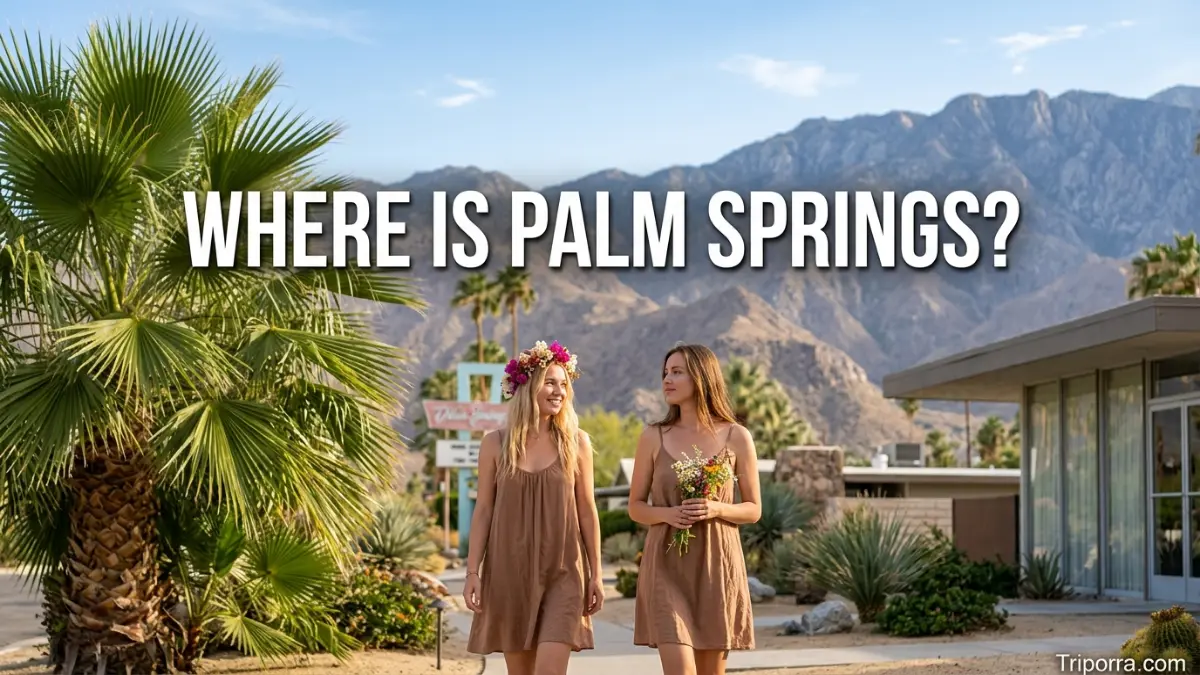
Palm Springs is a city in Riverside County, California, on the western edge of the Coachella Valley in Southern California. The city sits about 107 miles east of Los Angeles and is surrounded by desert and mountain landscapes. Its location near the San Jacinto Mountains also makes it easy to identify on a map of southeastern California.
Introduction
Palm Springs sits in one of Southern California’s best-known desert regions. The city occupies the western side of the Coachella Valley, with the San Jacinto Mountains rising immediately to the west.
Meanwhile, communities such as Cathedral City, Rancho Mirage, and Palm Desert extend southeast along the valley. Los Angeles lies to the west, while the broader desert region continues toward the Salton Sea.
As a result, the easiest way to understand the location is to picture a desert city between high mountains and a long inland valley.
Quick Facts
| Fact | Information |
|---|---|
| Location | Southern California |
| State | California |
| County | Riverside County |
| Region | Coachella Valley |
| Country | United States |
| Continent | North America |
| Type | City |
| Approximate coordinates | 33.80° N, 116.54° W |
| Nearby major city | Los Angeles |
| Nearby communities | Cathedral City, Rancho Mirage, Palm Desert |
| Time zone | Pacific Time |
| Geographic setting | Colorado Desert |
The U.S. Census Bureau identifies the place as Palm Springs city, California, with coordinates near 33.80° N and 116.54° W.
Location in California
The city is in Riverside County, in the southeastern part of California. More specifically, it occupies the western edge of the Coachella Valley.
This position puts the community well inland from the Pacific coast. Therefore, its surroundings look very different from coastal cities such as Los Angeles or San Diego.
The official city profile places the community about 107 miles east of Los Angeles and identifies it as part of the Colorado Desert.
What State Is It In?
Palm Springs is in California.
It belongs to the southern portion of the state and sits within the inland desert region. Although California is often associated with its Pacific coastline, this community lies far enough inland to have a distinctly desert setting.
What County Is It In?
The city is part of Riverside County.
Riverside County covers a large section of inland Southern California. Its geography ranges from developed Inland Empire communities to the mountains and deserts around the Coachella Valley.
The Coachella Valley Setting
The Coachella Valley provides the most useful regional reference point.
Palm Springs occupies the valley’s western edge. From there, the developed corridor continues southeast through Cathedral City, Rancho Mirage, Palm Desert, Indian Wells, La Quinta, and Indio.
The valley is surrounded by several mountain ranges. The San Jacinto Mountains rise to the west, while the Little San Bernardino Mountains lie toward the north and northeast. The Santa Rosa Mountains extend along the southern side.
This arrangement creates a simple mental picture: mountains to the west, desert communities across the valley, and a long valley floor stretching southeast.
The official Palm Springs tourism organization also describes the city as being on the western edge of the Coachella Valley in Riverside County.
Where Is It on a Map?
On a California map, start with Los Angeles. Then move east through the Inland Empire toward Riverside and the mountain passes around Interstate 10.
Beyond those mountains, the Coachella Valley opens up. Palm Springs appears near the valley’s northwestern end.
Another useful reference is the San Jacinto Mountains. They rise directly west of the city, with Mount San Jacinto reaching more than 10,000 feet.
A simple mental map looks like this:
Los Angeles → Inland Empire → San Gorgonio Pass → Palm Springs → Coachella Valley
From Palm Springs, the valley communities generally continue southeast.
Nearby Cities and Communities
Several communities help define the local geography.
Cathedral City
Cathedral City is immediately southeast of Palm Springs. The two cities form part of the connected urban area on the western side of the Coachella Valley.
Desert Hot Springs
Desert Hot Springs lies north of the city. Its position provides another useful reference when looking at the northern part of the valley.
Rancho Mirage
Rancho Mirage is southeast of Palm Springs. It sits along the same developed corridor that continues toward Palm Desert and other valley communities.
Palm Desert
Palm Desert lies farther southeast. It occupies a central position within the populated section of the Coachella Valley.
Indio
Indio is farther southeast, beyond Palm Desert. It sits deeper within the valley and provides a useful reference for understanding how far the metropolitan corridor extends.
These places are not separate geographic regions. Instead, they form a sequence of communities along the valley floor.
Distances From Major Cities
Distances vary according to the exact starting point and route. Therefore, the figures below are approximate rather than exact driving measurements.
| Place | Approximate relationship |
|---|---|
| Los Angeles | About 107 miles west |
| San Diego | About 140 miles southwest |
| Riverside | About 55 miles west |
| Cathedral City | Immediately southeast |
| Palm Desert | About 15 miles southeast |
| Desert Hot Springs | About 10 miles north |
| Indio | About 25 miles southeast |
The local tourism organization places Palm Springs approximately 110 miles southeast of Los Angeles and about 140 miles northeast of San Diego.
Because road distances depend on the route, these numbers work best as geographic reference points rather than exact navigation figures.
Mountains Around the City
Mountains play a major role in the area’s geography.
The San Jacinto Mountains rise directly west of Palm Springs. Mount San Jacinto reaches about 10,831 feet, creating a dramatic elevation change between the city and the mountain summit.
To the north, the Little San Bernardino Mountains help frame the valley. Farther south, the Santa Rosa Mountains provide another major geographic boundary.
Consequently, the community sits in a low desert environment surrounded by much higher terrain.
Is Palm Springs in the Desert?
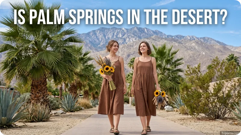
Yes. The city lies within the Colorado Desert, which forms part of the larger Southern California desert region. The city’s official profile specifically identifies its ecological setting as the Colorado Desert.
That desert setting explains the landscape around the community. Instead of coastal plains or dense forests, visitors encounter a low valley floor, dry terrain, palm trees, and steep mountain slopes.
The elevation contrast is particularly striking. The city itself stands at about 487 feet above sea level, while Mount San Jacinto rises to 10,831 feet.
Getting There
Interstate 10 provides the main highway connection from the Los Angeles area and the Inland Empire.
Travelers coming from the west generally cross the Inland Empire before passing through the mountain corridor near San Gorgonio Pass. From there, the road enters the Coachella Valley.
For air travel, Palm Springs International Airport sits within the city. The airport provides another convenient geographic reference because it is close to the central part of the community.
You can find current airport information through the official Palm Springs International Airport website.
Palm Springs International Airport
Palm Springs International Airport, commonly identified by the code PSP, is located inside the city.
The airport’s location makes the community relatively easy to access from other parts of Southern California. In addition, its proximity to downtown means travelers do not need to cross a large metropolitan area after landing.
For current airport information, flight details, and terminal information, use the official airport website linked above.
Nearby Geographic Landmarks
The surrounding landscape offers several useful reference points.
San Jacinto Peak rises to the west and provides the most prominent mountain landmark. The Coachella Valley stretches southeast, while the Little San Bernardino Mountains occupy areas to the north and northeast.
Farther southeast, the valley approaches the Salton Sea. Meanwhile, the Joshua Tree area lies northeast across the desert.
These relationships make the city’s position easier to understand than a list of coordinates alone.
A Simple Mental Map

If you are trying to picture the area without opening a map, use this sequence:
- West: San Jacinto Mountains
- North: Desert Hot Springs and mountain terrain
- Southeast: Cathedral City, Rancho Mirage, Palm Desert, and Indio
- Northeast: Joshua Tree desert region
- Farther southeast: Salton Sea
- Far west: Los Angeles and the Inland Empire
This layout shows why the community is considered part of the western Coachella Valley.
Images to Add to the Page
For the WordPress page, add a few geographic images rather than decorative travel photos. Useful choices include:
- Featured image: Palm Springs viewed from the surrounding desert or mountains
Suggested alt text:where is Palm Springs in California - Location map: Southern California map showing Palm Springs, Los Angeles, and San Diego
Suggested alt text:Palm Springs location in Southern California map - Regional map: Coachella Valley showing Palm Springs and nearby cities
Suggested alt text:Palm Springs and Coachella Valley location - Mountain view: San Jacinto Mountains above the city
Suggested alt text:Palm Springs location near San Jacinto Mountains - Airport image: Palm Springs International Airport
Suggested alt text:Palm Springs International Airport location
Use descriptive alt text naturally. There is no need to repeat the exact keyphrase in every image attribute.
Suggested Internal Links
To strengthen the site’s geographic topic cluster, add internal links where the surrounding content genuinely matches. For example:
- Where Is California? — link from the state section
- Where Is Los Angeles? — link from the distance section
- Where Is San Diego? — link from the Southern California comparison
- Where Is Joshua Tree? — link from the nearby-landmarks section
- Where Is Riverside? — link from the county discussion
- Where Is Palm Desert? — link from the nearby-cities section
These links should use descriptive anchor text rather than generic phrases such as “click here.”
FAQs
What state is Palm Springs in?
Palm Springs is in California, in the southern part of the state.
What county is Palm Springs in?
The city is located in Riverside County.
What valley is Palm Springs in?
It sits on the western edge of the Coachella Valley.
Is Palm Springs near Los Angeles?
Yes. Los Angeles is approximately 107 to 110 miles west of the city, depending on the measurement and route.
Is Palm Springs near San Diego?
Yes. San Diego is roughly 140 miles southwest of the city according to the local tourism organization.
What cities are near Palm Springs?
Nearby communities include Cathedral City, Desert Hot Springs, Rancho Mirage, and Palm Desert.
What mountains are next to Palm Springs?
The San Jacinto Mountains rise immediately west of the city. Mount San Jacinto reaches approximately 10,831 feet.
Is Palm Springs in the desert?
Yes. The city lies within the Colorado Desert in Southern California.
Is Palm Springs in Riverside County?
Yes. Palm Springs is part of Riverside County, in the western Coachella Valley.
How far is Palm Springs from Palm Desert?
Palm Desert is roughly 15 miles southeast, although the exact distance varies according to the points being measured.
Is Joshua Tree near Palm Springs?
Yes. The Joshua Tree area lies northeast of the city across the Southern California desert.
Does Palm Springs have an airport?
Yes. Palm Springs International Airport (PSP) operates within the city.
Conclusion
Palm Springs is a city in Riverside County, California, on the western edge of the Coachella Valley. The community lies about 107 miles east of Los Angeles and sits directly east of the San Jacinto Mountains.
For a simple mental picture, place the city in the Southern California desert between the San Jacinto Mountains and the Coachella Valley. Cathedral City, Rancho Mirage, Palm Desert, and Indio continue southeast, while Los Angeles lies far to the west.
That combination of Riverside County, Coachella Valley, Southern California, and the San Jacinto Mountains provides the clearest geographic answer.

Elena Rostova bridges the gap between premium hospitality and authentic local experiences. Armed with a background in luxury hospitality management and a passion for fine architecture, she spent years evaluating elite resorts before transitioning into travel journalism. Elena heads the luxury and boutique travel vertical on Triporra.com. Her meticulous guides strip away the guesswork from high-end travel, showcasing unique five-star escapes, fine regional dining, and bespoke private tours that elevate a standard vacation into an unforgettable journey.










