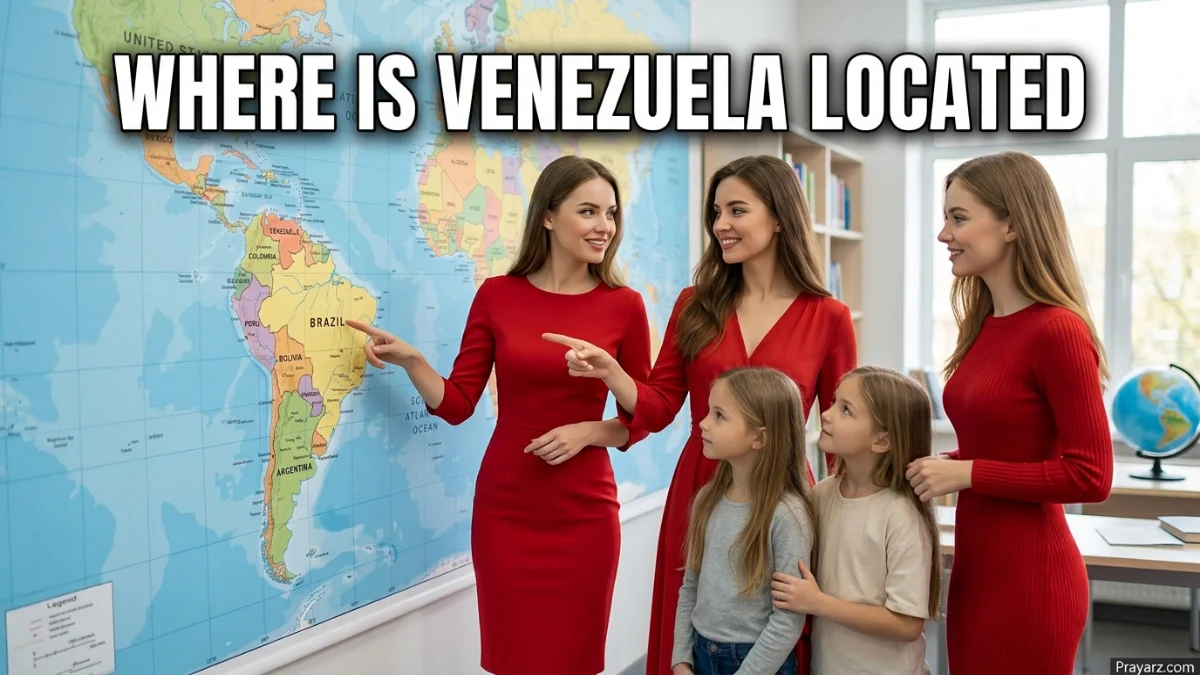
Venezuela is located in northern South America, along the Caribbean Sea and the Atlantic Ocean. It borders Colombia to the west, Brazil to the south, and Guyana to the east. Its capital, Caracas, is in the northern part of the country. Venezuela lies entirely north of the Equator.
Introduction
Venezuela occupies the northern part of the South American continent. Its position puts it between the Caribbean region and the interior of South America.
The country shares land borders with Colombia, Brazil, and Guyana. Its northern coastline faces the Caribbean Sea, while its eastern coast reaches the Atlantic Ocean.
Venezuela is also close to several Caribbean islands, including Trinidad and Tobago and the ABC islands. This gives it an important Caribbean connection without changing its location in South America.
Venezuela Quick Facts
| Fact | Information |
|---|---|
| Location | Northern South America |
| Country | Venezuela |
| Continent | South America |
| Subregion | Northern South America |
| Capital | Caracas |
| Approximate Coordinates | 8° N, 66° W |
| Northern Water | Caribbean Sea |
| Eastern Water | Atlantic Ocean |
| Western Neighbor | Colombia |
| Southern Neighbor | Brazil |
| Eastern Neighbor | Guyana |
| Major River | Orinoco River |
| Major Lake | Lake Maracaibo |
| Time Zone | UTC−4 |
Where Is Venezuela on a Map?
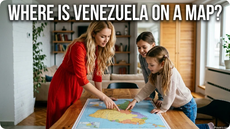
On a map of South America, Venezuela appears near the top of the continent.
Its basic geographic position is:
- North: Caribbean Sea
- West: Colombia
- South: Brazil
- East: Guyana and the Atlantic Ocean
Venezuela extends from northern coastal areas into broad plains, forests, mountains, and highlands farther south.
Its approximate coordinates range from 1°N to 13°N latitude and 59°W to 73°W longitude. Because all of its territory lies north of the Equator, Venezuela is part of the Northern Hemisphere.
What Countries Border Venezuela?
Venezuela has three land neighbors: Colombia, Brazil, and Guyana.
Colombia
Colombia borders Venezuela to the west. The two countries share a long international boundary that crosses mountains, plains, and river areas.
Cities such as Maracaibo and San Cristóbal are in western Venezuela and are closer to Colombia than the country’s eastern cities.
Brazil
Brazil borders Venezuela to the south. Much of this boundary crosses remote areas with forests and uplands.
The border connects Venezuela directly with Brazil, the largest country in South America.
Guyana
Guyana lies east of Venezuela. The two countries meet in the eastern part of Venezuela’s territory.
Venezuela and Guyana have a longstanding territorial dispute over the Essequibo region. However, for basic map purposes, Guyana is Venezuela’s eastern neighbor.
What Sea Is North of Venezuela?
The Caribbean Sea lies along Venezuela’s northern coast.
The coastline includes mainland areas as well as several Venezuelan islands. This location places Venezuela directly on the southern side of the Caribbean.
Farther east, the country’s coast reaches the Atlantic Ocean, including waters around the Gulf of Paria.
This coastal position helps explain why Venezuela has strong geographic ties to the Caribbean while remaining a South American country.
What Is Venezuela Near?
Venezuela is close to several mainland and island locations.
Its three neighboring countries are the most important geographic references:
- Colombia: west
- Brazil: south
- Guyana: east
The country is also near the southern Caribbean islands. Trinidad and Tobago lies northeast of Venezuela, while Aruba, Bonaire, and Curaçao are north of the Venezuelan coast.
These locations help place Venezuela within the wider Caribbean and northern South American region.
Where Is Caracas Located?
Caracas is the capital of Venezuela. It is located in the northern part of the country, in a valley within the Venezuelan Coastal Range.
The city is inland from the Caribbean coast but relatively close to it. Caracas serves as the country’s main political and administrative center.
Other major cities help show Venezuela’s geographic spread:
- Maracaibo: western Venezuela, near Lake Maracaibo
- Valencia: north-central Venezuela
- Barquisimeto: northwestern interior
- Ciudad Guayana: southeastern Venezuela, near the Orinoco River
- San Cristóbal: western Venezuela, near Colombia
What Are the Major Geographic Features of Venezuela?
Venezuela contains several major landforms and water features.
Lake Maracaibo
Lake Maracaibo is in western Venezuela. The lake and its surrounding basin form one of the country’s main geographic regions.
The city of Maracaibo sits near the lake, making it an important reference point for western Venezuela.
Orinoco River
The Orinoco River is one of South America’s major rivers. It crosses a large part of Venezuela before reaching the Atlantic Ocean.
Its drainage basin covers much of the country’s interior and is central to Venezuela’s physical geography.
Guiana Highlands
The Guiana Highlands cover parts of southern and southeastern Venezuela. The region contains distinctive flat-topped mountains known as tepuis.
This area is geographically different from the coastal regions in northern Venezuela.
Venezuelan Andes
The Venezuelan Andes extend through western Venezuela near the Colombian border.
These mountains create a strong contrast with the country’s plains and lowlands.
Llanos
The Llanos are broad tropical plains across central Venezuela and parts of neighboring Colombia.
They form an important transition between the northern mountains and the more forested southern regions.
Is Venezuela in South America or Central America?
Venezuela is in South America, not Central America.
It sits on the northern part of the South American mainland. Colombia lies between Venezuela and Panama, connecting the region toward Central America.
The simplest geographic description is:
Venezuela is a South American country with a Caribbean coastline.
Is Venezuela a Caribbean Country?
Venezuela is not a Caribbean island country. It is a mainland South American country with a Caribbean coast.
Its northern shoreline borders the Caribbean Sea, and several Venezuelan islands are located in Caribbean waters.
Its proximity to Trinidad and Tobago, Aruba, Curaçao, and Bonaire also gives Venezuela close geographic links with the Caribbean.
Where Is Venezuela Relative to the Equator?
Venezuela is north of the Equator.
Its southernmost territory is close to the Equator, while its northern coast reaches roughly 13°N latitude.
This location places the country within the tropics. However, elevation creates major differences between coastal areas, mountain regions, plains, and highlands.
How Far Is Venezuela From the United States?
Venezuela is south of the United States, across the Caribbean region.
The exact distance depends on the two locations being compared. For example, the distance between Miami and Caracas differs from the distance between Miami and Venezuela’s closest northern coastline.
For a broad geographic reference, Venezuela is part of the northern South American region closest to the Caribbean and southeastern portion of the United States.
How Do You Get to Venezuela?
International visitors generally reach Venezuela by air.
Simón Bolívar International Airport serves the Caracas area and is the country’s main international aviation gateway. Other airports connect cities in different parts of Venezuela.
For understanding the country’s geography, Caracas is the most useful arrival reference because it is the national capital and lies in northern Venezuela.
Why Is Venezuela’s Location Important?
Venezuela’s position connects several major geographic zones.
Its western border links it with Colombia and the northern Andes. Its southern border reaches Brazil and the interior of South America. Guyana lies to the east, while the Caribbean Sea forms much of its northern maritime boundary.
The country also contains major physical regions such as the Orinoco basin, Lake Maracaibo, Llanos, Venezuelan Andes, and Guiana Highlands.
These features make Venezuela geographically diverse despite its clear position in northern South America.
Frequently Asked Questions
1. Where is Venezuela located?
Venezuela is located in northern South America. Colombia is to the west, Brazil to the south, Guyana to the east, and the Caribbean Sea to the north.
2. What continent is Venezuela in?
Venezuela is in South America.
3. What countries border Venezuela?
Venezuela borders Colombia, Brazil, and Guyana.
4. What is the capital of Venezuela?
The capital is Caracas, located in northern Venezuela within the Coastal Range.
5. Is Venezuela in the Caribbean?
Venezuela is in South America, but its northern coast borders the Caribbean Sea.
6. Is Venezuela in Central America?
No. Venezuela is in South America. Colombia lies between Venezuela and Panama.
7. What sea is north of Venezuela?
The Caribbean Sea lies along much of Venezuela’s northern coastline.
8. What country is west of Venezuela?
Colombia is west of Venezuela and shares a land border with it.
9. What country is south of Venezuela?
Brazil lies south of Venezuela and shares a land border with the country.
10. What country is east of Venezuela?
Guyana lies east of Venezuela.
11. Is Venezuela north or south of the Equator?
Venezuela is north of the Equator and lies entirely in the Northern Hemisphere.
12. What countries and islands are near Venezuela?
Colombia, Brazil, and Guyana are its neighboring mainland countries. Nearby Caribbean locations include Trinidad and Tobago, Aruba, Bonaire, and Curaçao.
Conclusion
Venezuela is located in northern South America, with the Caribbean Sea to the north, Colombia to the west, Brazil to the south, and Guyana to the east. Its eastern coastline also reaches the Atlantic Ocean.
The simplest mental picture is a South American country at the top of the continent facing the Caribbean. Caracas is in the north, while the country’s territory extends south across plains, forests, mountains, and highlands.
That combination of mainland borders, Caribbean waters, and varied terrain gives Venezuela its distinctive geographic position.

About Leo Sterling
Leo Sterling is a geography and travel writer at Triporra.com who believes understanding a place starts with knowing exactly where it is. He turns geographic details on countries, regions, islands, and cities into clear, engaging content for everyday readers.
For Leo, a good location article does more than mark a spot on a map. It shows what borders a place, which region it belongs to, and how it connects to the world around it—an approach reflected in guides like where is Anguilla, where solid research meets a simple, conversational style.
Whether readers are planning a trip, studying, or just curious, Leo’s goal is the same: deliver accurate, easy-to-understand information without unnecessary complexity.
Areas of Focus: Geography | Countries & Regions | Caribbean Islands | Travel Destinations | Location Research | “Where Is?” Content