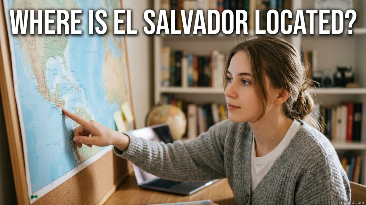
El Salvador is located in Central America, between Guatemala and Honduras on the Pacific coast. It is the smallest country in mainland Central America and lies along the North Pacific Ocean. Its capital, San Salvador, is in the central part of the country. El Salvador is north of the Pacific Ocean and west of Honduras.
Introduction
If you are looking at a map of Central America, El Salvador is the small country along the Pacific coast between Guatemala and Honduras. Unlike Guatemala, Honduras, and Nicaragua, it does not have a Caribbean coastline.
El Salvador sits in the southern part of Central America. Guatemala is to its west and northwest, while Honduras surrounds much of its northern and eastern side. The Pacific Ocean forms its southern boundary.
This location puts El Salvador close to several important Central American cities, including Guatemala City, Tegucigalpa, and Managua. The country’s capital, San Salvador, is located roughly in the central part of the country.
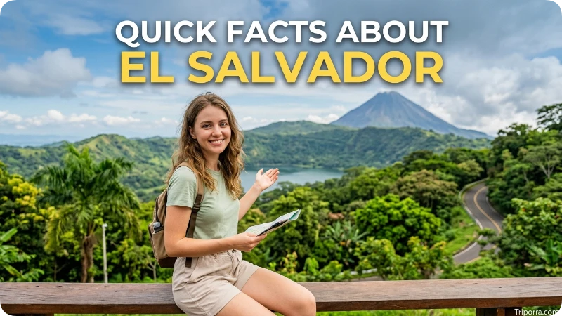
Quick Facts About El Salvador
| Fact | Information |
|---|---|
| Location | Central America |
| Country | El Salvador |
| Region | Central America |
| Continent | North America |
| Capital | San Salvador |
| Coastline | North Pacific Ocean |
| Western Neighbor | Guatemala |
| Northern & Eastern Neighbor | Honduras |
| Coordinates | About 13.8° N, 88.9° W |
| Area | About 8,000 square miles |
| Main Geographic Setting | Pacific coast, valleys, highlands, and volcanoes |
| Administrative Divisions | 14 departments |
| Official Language | Spanish |
El Salvador covers roughly 8,000 square miles, making it the smallest country in Central America by area. The U.S. Department of State has compared its size to Massachusetts.
Where Is El Salvador Located?
El Salvador is located in Central America, the narrow land bridge connecting North America and South America.
More specifically, it occupies a position on the Pacific side of the Central American isthmus. The country stretches east-west along the North Pacific coast, with Guatemala on its western side and Honduras to the north and east.
A simple way to picture its location is:
- West: Guatemala
- North: Honduras
- East: Honduras and the Gulf of Fonseca area
- South: North Pacific Ocean
This makes El Salvador one of the few Central American countries with no Caribbean coastline.
What Country Is El Salvador In?
El Salvador is itself an independent country. It is not a city, state, province, or territory of another country.
Its official name is the Republic of El Salvador. The country is divided into 14 departments, which are administrative divisions rather than states in the U.S. sense.
So, if you are asking “What state is El Salvador in?” the answer is that El Salvador is not in a state. It is a sovereign country in Central America.
What Continent Is El Salvador In?
El Salvador is geographically part of North America.
More specifically, it is located in the Central America region of North America. Central America includes countries such as Guatemala, Belize, Honduras, El Salvador, Nicaragua, Costa Rica, and Panama.
For a U.S. reader, this can be confusing because Central America is sometimes discussed separately from North America. Geographically, however, Central America is generally considered the southern portion of North America.
Where Is El Salvador on a Map?
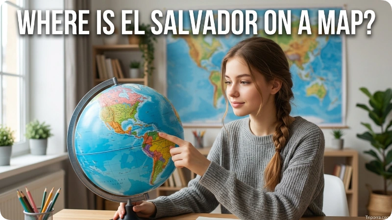
On a map of the Americas, look south of Mexico and along the Pacific side of Central America.
El Salvador is positioned:
Mexico → Guatemala → El Salvador → Honduras
However, this is a simplified west-to-east view because the countries and borders do not form a straight line.
El Salvador is relatively easy to identify because it is a narrow country on the Pacific coast. Its southern edge faces the Pacific Ocean, while Guatemala and Honduras surround its land borders. A CIA regional map places El Salvador directly between Guatemala and Honduras, with the Pacific Ocean immediately to the south.
What Countries Border El Salvador?
El Salvador has two land neighbors: Guatemala and Honduras.
Guatemala
Guatemala borders El Salvador to the west and northwest.
The border connects the two countries in the western part of El Salvador. Guatemala also lies between El Salvador and southern Mexico.
Honduras
Honduras borders El Salvador to the north and east.
The Honduran border is considerably more extensive than the Guatemalan border. The two countries also meet near the Gulf of Fonseca in the southeast.
Pacific Ocean
Although the Pacific Ocean is not a country, it is one of the most important geographic features defining El Salvador’s location.
The entire southern side of the country faces the North Pacific Ocean.
Does El Salvador Border Nicaragua?
No, El Salvador does not share a land border with Nicaragua.
Honduras lies between El Salvador and Nicaragua along the mainland. However, El Salvador, Honduras, and Nicaragua all have access to the Gulf of Fonseca, an inlet of the Pacific Ocean.
This means Nicaragua is relatively close to El Salvador even though the two countries do not share a direct land boundary.
What Ocean Is El Salvador On?
El Salvador is on the Pacific Ocean, specifically the North Pacific Ocean.
Its southern coastline runs along the Pacific. This geographic position distinguishes El Salvador from countries such as Honduras, Guatemala, and Nicaragua, which have access to both Pacific and Caribbean waters or have more complex coastlines.
El Salvador’s Pacific coastline also places many of its coastal communities and geographic features along the southern edge of the country.
Where Is San Salvador Located?
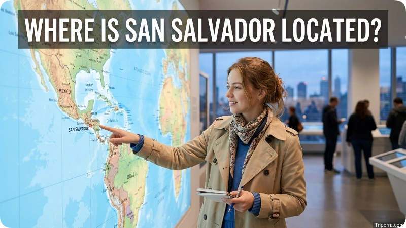
San Salvador is the capital and largest major urban center of El Salvador. It is located in the central part of the country, within the highland region.
The capital is not on the Pacific coastline itself. Instead, it sits inland, surrounded by the country’s central valleys and volcanic highlands.
This makes San Salvador a useful reference point when locating the rest of El Salvador. Santa Ana is farther west, while San Miguel is farther east.
The country’s major cities include San Salvador, Santa Ana, San Miguel, Soyapango, and La Unión.
What Region Is El Salvador In?
El Salvador is part of Central America.
Within Central America, it occupies the Pacific side of the region. Its position is important because it sits between Guatemala and Honduras and relatively close to Nicaragua.
The country is also part of the broader geographic area sometimes called the Northern Triangle of Central America, together with Guatemala and Honduras.
For a simple mental map, think of El Salvador as a small Pacific-facing country located between Guatemala and Honduras.
What Is El Salvador Near?
El Salvador is close to several Central American countries and cities.
The most important nearby countries are:
- Guatemala — directly west and northwest
- Honduras — north and east
- Nicaragua — southeast, across the Gulf of Fonseca and through Honduras
- Belize — farther northeast
- Costa Rica — farther southeast
Mexico is also relatively close, but Guatemala lies between Mexico and El Salvador.
Because Central America is geographically narrow, several countries can be reached within a relatively short regional journey.
How Far Is El Salvador From Guatemala?
El Salvador is directly adjacent to Guatemala, so the distance depends heavily on the starting and ending points.
For example, San Salvador is roughly 125 miles from Guatemala City in a straight-line comparison. The actual driving distance is longer because roads follow the terrain and border crossings.
Guatemala City is northwest of San Salvador, making Guatemala an especially useful reference point for understanding El Salvador’s position in Central America.
How Far Is El Salvador From Honduras?
El Salvador directly borders Honduras, so there is no single distance between the two countries.
From San Salvador to Tegucigalpa, the capital of Honduras, the straight-line distance is roughly 190 miles. Driving distances vary depending on the route and border crossing.
Tegucigalpa is generally northeast of San Salvador.
How Far Is El Salvador From Nicaragua?
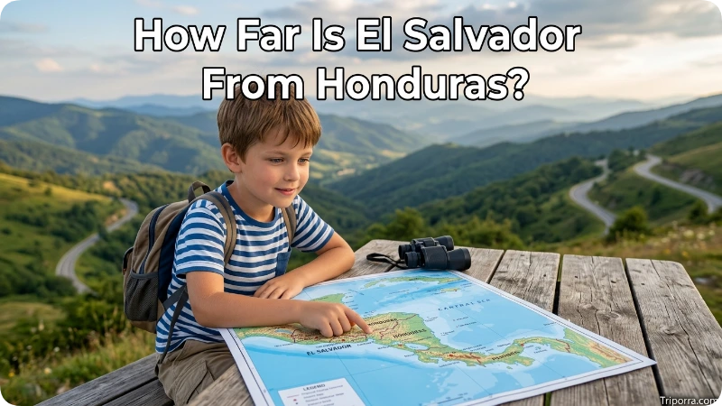
El Salvador does not share a land border with Nicaragua. Honduras lies between the two countries.
However, the countries are close in the southeastern part of El Salvador because all three countries connect around the Gulf of Fonseca.
From San Salvador to Managua, Nicaragua’s capital, the straight-line distance is roughly 210 miles. The actual travel distance can be considerably greater depending on the route.
What Are the Major Geographic Features of El Salvador?
El Salvador is small, but its landscape is varied.
The country includes:
- Pacific coastal plains
- Central valleys
- Mountain ranges
- Volcanic landscapes
- Lakes
- Rivers
- Highland areas
Mountains divide much of the country into different geographic zones. The U.S. Department of State describes three broad physical areas: the southern coastal belt, central valleys and plateaus, and northern mountains.
Volcanic features are also an important part of the country’s geography. El Salvador lies within the Pacific region’s active tectonic zone, which helps explain its many volcanoes and mountainous areas.
Why Is El Salvador Considered Part of Central America?
Central America is the narrow land bridge connecting the larger landmasses of North and South America.
El Salvador is located directly within this land bridge. It is surrounded by other Central American countries and has a Pacific coastline.
Its geographic relationships make its regional identity clear:
North America → Central America → El Salvador → Pacific coast
This is why El Salvador is classified as a Central American country rather than a Caribbean or South American country.
Is El Salvador in the Caribbean?
No. El Salvador is not a Caribbean country in terms of coastline.
It faces the Pacific Ocean, not the Caribbean Sea.
This is an important distinction because some Central American countries have Caribbean coastlines. El Salvador is entirely on the Pacific side of the Central American land bridge.
Its nearest major coastal waters include the Pacific Ocean and the Gulf of Fonseca.
Where Is El Salvador Compared With the United States?
El Salvador is south of the United States.
To reach El Salvador from the continental United States, travelers generally cross or fly over Mexico and Central America. The country lies much closer to the southern United States than to most parts of South America.
For Americans looking at a map, a useful mental route is:
United States → Mexico → Guatemala → El Salvador
This is a simplified geographic sequence because Central America’s borders and coastlines are not perfectly linear.
Where Is El Salvador Compared With Mexico?
Mexico is northwest of El Salvador, but the two countries do not share a border.
Guatemala sits between them.
The general geographic relationship is:
Mexico → Guatemala → El Salvador
The distance between Mexico and El Salvador therefore depends on which Mexican location is used as the reference point.
Where Is El Salvador Compared With Costa Rica?
Costa Rica is southeast of El Salvador.
Nicaragua lies between the two countries. As a result, El Salvador and Costa Rica do not share a land border.
On a Central American map, you can follow the Pacific side south and east from El Salvador through Nicaragua toward Costa Rica.
How Big Is El Salvador?
El Salvador covers about 8,000 square miles, or roughly 21,000 square kilometers.
Despite its small size, the country contains mountains, volcanoes, valleys, highlands, and Pacific coastal areas.
Its compact size is one reason nearby cities and countries can be relatively close together.
What Is the Geographic Location of El Salvador?
El Salvador is positioned at approximately 13.8° north latitude and 88.9° west longitude.
These coordinates place the country:
- North of the Equator
- West of the Prime Meridian
- In Central America
- Along the Pacific coast
- Between Guatemala and Honduras
Coordinates provide a precise geographic reference, while nearby countries and bodies of water make the location easier to understand visually.
How to Get to El Salvador
For international travelers, the country’s main geographic gateway is the San Salvador metropolitan area, located in the central part of El Salvador.
The country’s road network connects San Salvador with other major cities and with neighboring countries. Important regional routes include the Pan-American Highway and coastal routes. Historical U.S. government geographic information identifies the Pan-American and Littoral highways as major transportation routes through El Salvador.
For someone unfamiliar with Central America, the simplest way to understand access is to first locate San Salvador, then follow the country’s major roads toward Guatemala, Honduras, or the Pacific coast.
A Simple Mental Map of El Salvador
If you want to remember where El Salvador is without looking at a map, use this simple picture:
Guatemala ← El Salvador → Honduras
Then place the Pacific Ocean south of El Salvador.
Nicaragua is farther southeast, while Mexico is farther northwest.
So the basic mental map is:
- Northwest: Guatemala
- North: Honduras
- East: Honduras
- Southeast: Gulf of Fonseca and Nicaragua
- South: Pacific Ocean
- Northwest beyond Guatemala: Mexico
That relationship gives you a clear picture of El Salvador’s position in Central America.
FAQs
Where is El Salvador located?
El Salvador is located in Central America on the Pacific coast. Guatemala borders it to the west and northwest, while Honduras borders it to the north and east. The Pacific Ocean lies to its south.
Is El Salvador a country or a state?
El Salvador is an independent country. It is not a U.S. state or a state within another country.
What continent is El Salvador in?
El Salvador is in North America, specifically in the Central America region.
What countries border El Salvador?
El Salvador has two land-border neighbors: Guatemala and Honduras. It also faces the Pacific Ocean to the south.
Does El Salvador border Mexico?
No. El Salvador does not share a border with Mexico. Guatemala lies between the two countries.
Does El Salvador border Nicaragua?
No. Honduras lies between El Salvador and Nicaragua on land. However, the three countries meet around the Gulf of Fonseca.
What ocean is El Salvador on?
El Salvador is located on the North Pacific Ocean. Its southern coastline faces the Pacific.
What is the capital of El Salvador?
The capital is San Salvador, which is located in the central part of the country.
Is El Salvador in Central America?
Yes. El Salvador is one of the seven sovereign countries of Central America.
How far is El Salvador from Guatemala?
The two countries share a land border. As a city-to-city example, San Salvador is roughly 125 miles from Guatemala City in a straight-line comparison, although road distance is longer.
Is El Salvador near Honduras?
Yes. El Salvador directly borders Honduras, particularly along its northern and eastern sides.
Is El Salvador near the United States?
Yes, compared with much of South America, El Salvador is relatively close to the United States. It lies south of the United States in Central America, with Mexico and other Central American countries between them.
Conclusion
El Salvador is a small country in Central America, located on the Pacific coast between Guatemala and Honduras. Its capital, San Salvador, sits in the central highlands, while the country’s southern edge reaches the North Pacific Ocean.
The easiest way to remember its location is simple: Guatemala is to the west, Honduras is to the north and east, and the Pacific Ocean is to the south. Nicaragua is nearby across the Gulf of Fonseca, while Mexico lies farther northwest beyond Guatemala.

About Leo Sterling
Leo Sterling is a geography and travel writer at Triporra.com who believes understanding a place starts with knowing exactly where it is. He turns geographic details on countries, regions, islands, and cities into clear, engaging content for everyday readers.
For Leo, a good location article does more than mark a spot on a map. It shows what borders a place, which region it belongs to, and how it connects to the world around it—an approach reflected in guides like where is Anguilla, where solid research meets a simple, conversational style.
Whether readers are planning a trip, studying, or just curious, Leo’s goal is the same: deliver accurate, easy-to-understand information without unnecessary complexity.
Areas of Focus: Geography | Countries & Regions | Caribbean Islands | Travel Destinations | Location Research | “Where Is?” Content