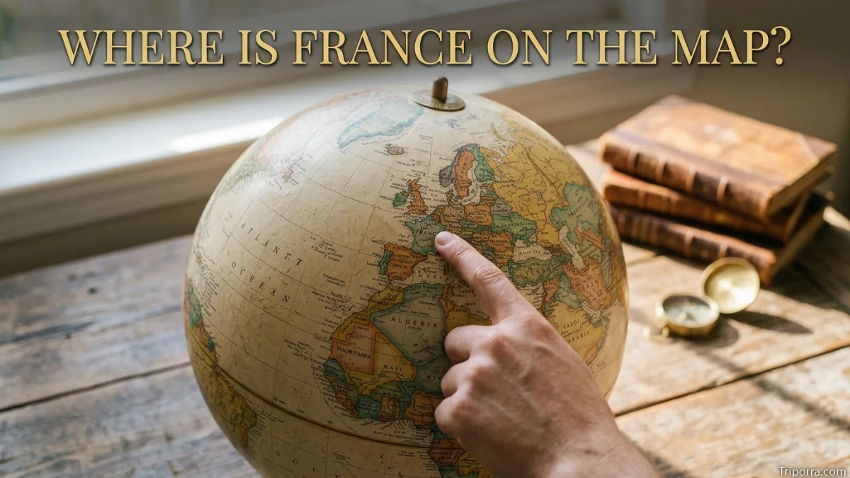
France is located in Western Europe, between the Atlantic Ocean and the Mediterranean Sea. On a map, mainland France sits west of Germany and Switzerland, south of Belgium and Luxembourg, and north of Spain. It also borders Italy and Andorra. Its mainland coordinates are roughly 46°N, 2°E.
Where Is France on the Map?
France is in Western Europe. When looking at a map of Europe, find Spain in the southwest, Germany in the center, and Italy extending south toward the Mediterranean. France lies between these countries and stretches from the Atlantic coast in the west to the Alps and Mediterranean coast in the southeast.
France has a distinctive shape that is sometimes called the Hexagon because mainland France roughly resembles a six-sided figure.
Its location places it close to several major European countries and gives it coastlines on both the Atlantic Ocean and Mediterranean Sea.
What Continent Is France In?
France is in Europe.
More specifically, mainland France is generally considered part of Western Europe. The country’s European mainland territory includes 96 departments, according to France’s national statistics office, INSEE.
France also has overseas regions and territories outside Europe. Therefore, the geographic reach of the French Republic extends beyond mainland Europe.
Where Is France Located in Europe?
France occupies a large area in the western part of the European continent.
A simple mental map looks like this:
- North: Belgium and the English Channel
- Northeast: Luxembourg and Germany
- East: Switzerland and Italy
- South: Spain, Andorra, and the Mediterranean Sea
- West: Atlantic Ocean
- Northwest: English Channel and the United Kingdom across the water
This position makes France a geographic link between the Atlantic coast, northern Europe, the Mediterranean region, and southwestern Europe.
What Countries Border France?
Mainland France shares land borders with eight countries:
CountryDirection from FranceBelgiumNortheastLuxembourgNortheastGermanyEast and northeastSwitzerlandEastItalySoutheastMonacoSoutheastSpainSouthAndorraSouth
France also has a land border with Brazil and Suriname through French Guiana in South America. This is why the answer can change depending on whether you mean mainland France or the entire French Republic.
Where Is France Relative to the United Kingdom?
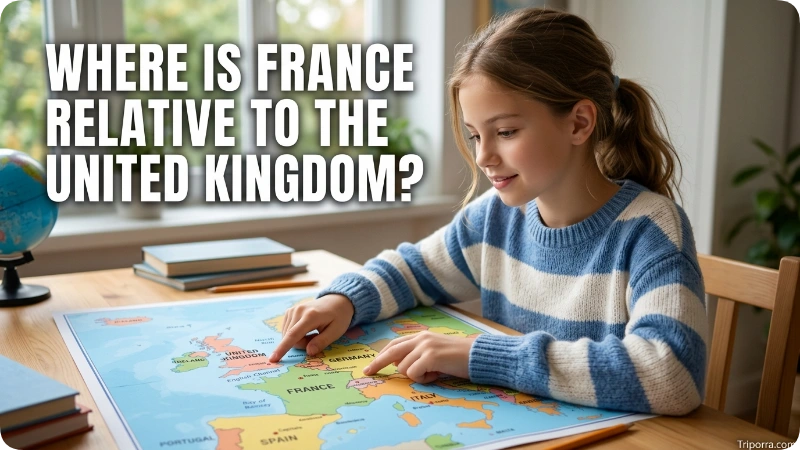
The United Kingdom is directly north of France, across the English Channel.
The two countries are geographically close. The Strait of Dover, the narrowest part of the English Channel, separates southeastern England from northern France.
On a map, this makes France one of the closest continental European countries to the United Kingdom.
Where Is France Relative to Spain?
Spain is directly south of France.
The two countries are separated mainly by the Pyrenees Mountains, which form a natural geographic boundary along much of their border.
If you look at a map of southwestern Europe, France sits immediately above Spain. Andorra is a small landlocked country located in the Pyrenees between France and Spain.
Where Is France Relative to Germany?
Germany is east and northeast of France.
The two countries share a land border in central-western Europe. The border area includes the French region of Grand Est and the German states on the opposite side.
Paris is also west of Germany, making France an important western neighbor of Germany.
Where Is France Relative to Italy?
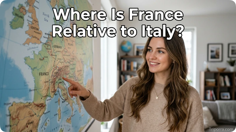
Italy is southeast of France.
The Alps form much of the natural geographic setting between the two countries. France’s southeastern coastline also reaches the Mediterranean Sea.
The small country of Monaco sits on the Mediterranean coast between southeastern France and Italy.
What Seas and Oceans Surround France?
Mainland France has several important bodies of water around it.
On France’s western edge, the Atlantic Ocean stretches along the coast. The English Channel borders the country toward the northwest and separates it from Great Britain. In the south, France meets the Mediterranean Sea.
The Bay of Biscay is also important on France’s western coast, between the French Atlantic coast and northern Spain.
These waterways help explain France’s position on a European map.
Where Is Paris on the Map of France?
Paris, the capital of France, is located in the north-central part of the country.
It sits along the Seine River in the Île-de-France region.
On a map, Paris is:
- North of Lyon
- Northeast of Bordeaux
- Northwest of Strasbourg
- North of Marseille
- Relatively close to Belgium compared with southern France
Because Paris is near the country’s northern half, it is a useful reference point when locating other parts of France.
What Are the Major Regions of France?
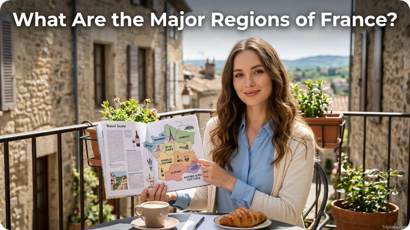
France is divided into several major administrative regions. Mainland regions include:
- Île-de-France
- Hauts-de-France
- Normandy
- Brittany
- Grand Est
- Pays de la Loire
- Centre-Val de Loire
- Bourgogne-Franche-Comté
- Nouvelle-Aquitaine
- Occitanie
- Auvergne-Rhône-Alpes
- Provence-Alpes-Côte d’Azur
- Corsica
These regions cover mainland France and Corsica, while France also has overseas regions and collectivities.
Where Is France on a World Map?
On a world map, France is in the Northern Hemisphere and Eastern Hemisphere.
Mainland France lies between approximately the low 42°N and 51°N latitudes, although the country’s full territory extends much farther because of its overseas regions.
France is:
- West of most of Central Europe
- North of the Mediterranean Sea
- East of the Atlantic Ocean
- North of Spain
- West of Germany and Switzerland
- Southeast of the United Kingdom
This makes France easy to identify once you locate western Europe.
What Is France Near?
France is close to many of Europe’s best-known countries and cities.
Some major nearby reference points include:
Reference pointGeneral relationship to FranceLondon, UKNorth across the English ChannelBrussels, BelgiumNortheastLuxembourgNortheastFrankfurt, GermanyEastGeneva, SwitzerlandSoutheastTurin, ItalySoutheastBarcelona, SpainSouthMadrid, SpainSouthwest
Distances vary depending on which point in France you use. France is large, so Paris, Marseille, Lyon, and other cities can have very different distances to the same neighboring country.
How Big Is France?
Mainland France is one of Europe’s larger countries.
Its size helps explain why its geographic setting changes considerably from north to south and from west to east. The country includes Atlantic beaches, broad plains, mountain ranges, Mediterranean coastline, and inland river valleys.
The shape and size of France also mean that a map is more useful than a single city reference when explaining its location.
What Is the Geographic Center of France?
A commonly used approximate central point for mainland France is around 46°N latitude and 2°E longitude.
This should be treated as a general geographic reference rather than an exact point marking a universally accepted center.
For map searches, however, these coordinates place you near the middle of mainland France.
Where Is France on a Map Compared With the Rest of Europe?
A simple way to picture France is to start with Western Europe.
Place the United Kingdom across the English Channel to the north. Put Belgium and Luxembourg along France’s northeastern side. Place Germany, Switzerland, and Italy farther east and southeast. Then find Spain and Andorra directly south.
The Atlantic Ocean lies to the west, while the Mediterranean Sea curves around the southeastern coast.
That mental map gives you a quick understanding of where France sits in Europe.
Does France Have Territory Outside Europe?
Yes.
Although France is usually pictured as a European country, the French Republic includes overseas regions and territories.
French Guiana, for example, is located in South America. France also has territories in the Caribbean, Indian Ocean, Pacific Ocean, and other parts of the world.
This means “where is France?” has two useful answers:
- Mainland France: Western Europe.
- The French Republic: France has territory in several parts of the world.
For most map searches, however, “France” refers to the European mainland unless an overseas territory is specified.
How Do You Find France on a Map?
To find France quickly on a map of Europe:
- Locate Spain in southwestern Europe.
- Move north to find France.
- Find the Atlantic Ocean on France’s western side.
- Look east for Germany, Switzerland, and Italy.
- Look north across the English Channel toward the United Kingdom.
- Find the Mediterranean Sea along southeastern France.
Paris, near the northern-central part of the country, is another easy reference point.
Where Is France’s Highest Mountain Area?
The highest part of France is in the French Alps near the country’s southeastern border with Italy.
The Alps dominate the landscape in southeastern France. They provide an easy geographic clue when identifying the eastern and southeastern part of the country on a physical map.
The Pyrenees, meanwhile, run along the southern border with Spain.
Where Is France on the Map in One Sentence?
France is a large country in Western Europe, bordered by Belgium, Luxembourg, Germany, Switzerland, Italy, Monaco, Spain, and Andorra, with the Atlantic Ocean to the west and the Mediterranean Sea to the south.
FAQs
Is France in Europe?
Yes. France is a European country, and mainland France is located in Western Europe.
Is France north or south of Spain?
France is north of Spain. The Pyrenees Mountains form much of the natural boundary between the two countries.
Is France east or west of Germany?
France is generally west of Germany. The two countries share a land border.
Is France near the United Kingdom?
Yes. France is very close to the United Kingdom, with the English Channel separating the two countries.
What countries are next to France?
Mainland France borders Belgium, Luxembourg, Germany, Switzerland, Italy, Monaco, Spain, and Andorra. France also borders Brazil and Suriname through French Guiana.
What ocean is France on?
France has an Atlantic coast along the Atlantic Ocean. Its northern coast also faces the English Channel, while its southeastern coast reaches the Mediterranean Sea.
What is the capital of France?
The capital of France is Paris, located in the north-central part of mainland France.
What are France’s approximate coordinates?
A commonly used approximate coordinate for the center of mainland France is around 46°N, 2°E.
Is France in Western or Eastern Europe?
France is generally classified as part of Western Europe.
Does France have land in South America?
Yes. French Guiana is an overseas department and region of France on the northeastern coast of South America. Therefore, France has territory outside Europe.
Where is France compared with Italy?
Italy is southeast of France. The Alps form an important geographic feature along much of their border, while the Mediterranean coast connects the two countries’ southern regions.
Conclusion
France is located in Western Europe, with the Atlantic Ocean to the west, the English Channel to the north, and the Mediterranean Sea to the southeast. It borders eight countries on mainland Europe and sits between major European regions including Spain, Germany, Italy, and the United Kingdom. On a map, France is one of the central geographic links between northern, western, southern, and central Europe.

About Leo Sterling
Leo Sterling is a geography and travel writer at Triporra.com who believes understanding a place starts with knowing exactly where it is. He turns geographic details on countries, regions, islands, and cities into clear, engaging content for everyday readers.
For Leo, a good location article does more than mark a spot on a map. It shows what borders a place, which region it belongs to, and how it connects to the world around it—an approach reflected in guides like where is Anguilla, where solid research meets a simple, conversational style.
Whether readers are planning a trip, studying, or just curious, Leo’s goal is the same: deliver accurate, easy-to-understand information without unnecessary complexity.
Areas of Focus: Geography | Countries & Regions | Caribbean Islands | Travel Destinations | Location Research | “Where Is?” Content