Introduction
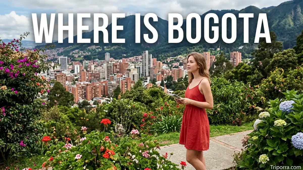
Bogotá is the capital of Colombia, located in the central part of the country in the Andean region of South America. The city sits on the Bogotá Plateau, or Sabana de Bogotá, along the Eastern Cordillera of the Andes at an elevation of about 2,600 meters (8,500 feet). Bogotá is also the seat of Colombia’s national government and is organized as the Bogotá Capital District.
On a map, Bogotá is in the interior of Colombia rather than on the Caribbean or Pacific coast. It lies east of the main Magdalena River valley and near the eastern side of the Bogotá Plateau. Its location places it within Colombia’s mountainous Andean zone.
Bogotá is surrounded by municipalities of Cundinamarca Department, but the Bogotá Capital District has its own special administrative status. This distinction is useful because Bogotá is commonly described in relation to Cundinamarca, yet the district is administratively separate from the department.
Featured Snippet Answer
Bogotá is the capital of Colombia, located in the central part of the country in the Andes Mountains of South America. It sits on the Bogotá Plateau at about 2,600 meters above sea level. Bogotá is part of the Bogotá Capital District and is surrounded by Cundinamarca Department. Its coordinates are approximately 4.6° N, 74.1° W.
Quick Facts
| Fact | Information |
|---|---|
| City | Bogotá |
| Official Administrative Name | Bogotá, Distrito Capital |
| Capital of | Colombia |
| Administrative Status | Capital District |
| Country | Colombia |
| Continent | South America |
| Geographic Region | Andean Region |
| Departmental Relationship | Surrounded by Cundinamarca Department |
| County | No U.S.-style county |
| Coordinates | About 4.6° N, 74.1° W |
| Elevation | About 2,600 meters (8,500 feet) |
| Major Geographic Feature | Bogotá Plateau |
| Mountain System | Eastern Cordillera of the Andes |
| Nearby Major City | Medellín |
| Time Zone | Colombia Time (UTC−5) |
| Daylight Saving Time | Not observed |
Official coordinates: The Bogotá city government gives the location as approximately 4°35′56″ N, 74°04′51″ W. Other official geographic data places the city near 4.61° N, 74.08° W.
Where Is Bogotá Located?
Bogotá is located in central Colombia, in the northern part of South America. It sits high in the Andes on the Bogotá Plateau, a broad highland area surrounded by mountains.
The city is part of Colombia’s Andean Region, one of the country’s major geographic regions. The Eastern Cordillera of the Andes passes through the area, giving Bogotá a mountain setting despite its position on a relatively broad plateau.
Bogotá is not a coastal city. It is located far inland, between the country’s Caribbean and Pacific coastal zones. This central position has helped make the city an important geographic and transportation center within Colombia.
What Country Is Bogotá In?
Bogotá is in Colombia, officially the Republic of Colombia.
Colombia is located in the northwestern part of South America. It has coastlines on both the Caribbean Sea and the Pacific Ocean and shares land borders with Panama, Venezuela, Brazil, Peru, and Ecuador.
Bogotá sits well inland from both Colombian coastlines. The city is roughly in the central portion of the country, although it is somewhat closer to Colombia’s eastern side than to its western Pacific coast.
Bogotá serves as Colombia’s national capital, making it the center of the country’s national government. Colombia’s constitutional framework identifies Bogotá as the capital of the republic and organizes it as a Capital District.
Is Bogotá a City, State, or District?
Bogotá is a city and capital district.
It is not a state because Colombia uses departments rather than U.S.-style states. Bogotá also does not function as an ordinary municipality or county. Instead, it has a special administrative system established under Colombia’s Constitution and related laws.
The city is formally organized as the Bogotá Capital District. Its district government has responsibilities that give Bogotá a different administrative structure from ordinary Colombian municipalities.
This is why a simple description such as “Bogotá, Cundinamarca” can be misleading if it suggests that Bogotá is an ordinary municipality within the department. Bogotá is closely connected geographically and economically with Cundinamarca, but the Capital District has its own administrative status.
Is Bogotá in Cundinamarca?
Bogotá is closely associated with Cundinamarca Department, but it is important to understand the administrative distinction.
The Bogotá Capital District occupies territory surrounded by Cundinamarca. The district and the department are separate administrative entities with different governments and responsibilities. Colombia’s constitutional system specifically gives Bogotá its Capital District status.
The relationship is easy to understand geographically:
Colombia → Andean Region → Bogotá Capital District
Around the district:
Cundinamarca Department → surrounds Bogotá
Bogotá and Cundinamarca also have strong regional connections. Their shared geographic, economic, environmental, and transportation systems have led to formal regional cooperation arrangements.
What Region Is Bogotá In?
Bogotá is in the Andean Region of Colombia.
More specifically, the city lies on the Eastern Cordillera of the Andes. The Bogotá Plateau provides a large highland setting for the urban area, while mountains rise around parts of the city.
The Colombian government and geographic agencies classify Bogotá within the country’s Andean geographic zone. The city government also describes Bogotá as being on the eastern edge of the Bogotá Plateau and within the Eastern Cordillera.
For a simple geographic hierarchy, you can think of Bogotá as:
Bogotá → Andean Region → Colombia → South America
Where Is Bogotá on a Map?
On a map of South America, look for Colombia in the northwestern part of the continent. Bogotá is near the center of Colombia and slightly toward the country’s eastern side.
The city is located at approximately 4.6° north latitude and 74.1° west longitude.
Its position is distinctive because Bogotá is close to the equator but sits at a high elevation in the Andes. The city is therefore very different geographically from Colombia’s lowland Caribbean and Pacific coastal areas.
The Bogotá Plateau stretches across a broad highland area, while the mountains of the Eastern Cordillera form a major part of the surrounding landscape.
How High Is Bogotá?
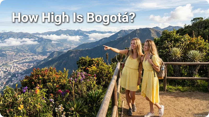
Bogotá sits at about 2,600 meters, or roughly 8,500 feet, above sea level.
The city’s government gives an average elevation of about 2,600 meters, while Colombia’s geographic authority has reported an elevation of approximately 2,625 meters.
This high elevation is one of the most important geographic facts about Bogotá. The city is close to the equator, yet its elevation places it in a cool highland environment rather than a lowland tropical setting.
The high plateau also helps explain why Bogotá’s geography differs from cities such as Cartagena and Barranquilla, which are located much closer to sea level on Colombia’s Caribbean coast.
What Mountains Are Near Bogotá?
Bogotá is located in the Eastern Cordillera of the Andes.
The Eastern Cordillera is one of the major branches of the Colombian Andes. Mountains and elevated terrain surround much of the Bogotá area, particularly along the eastern side of the city.
The city’s location on a high plateau gives it a different landscape from the steep valleys found in other parts of the Andes. Bogotá occupies a broad urbanized area on the plateau, while mountain slopes rise along its edges.
This mountain setting is one of the easiest ways to understand Bogotá’s location on a physical map.
What Are the Major Geographic Features Near Bogotá?
Several geographic features help define Bogotá’s position:
- Bogotá Plateau: The highland plain where most of the urban area is located.
- Eastern Cordillera: The Andean mountain range surrounding the broader region.
- Bogotá River: A major river associated with the plateau and surrounding area.
- Sumapaz: A large rural area within the Bogotá Capital District that extends into the high Andes.
- Cundinamarca: The department surrounding the Capital District.
Bogotá’s official geographic databases include urban and rural territory, topography, waterways, administrative boundaries, transportation information, and other geographic layers.
What Cities Are Near Bogotá?
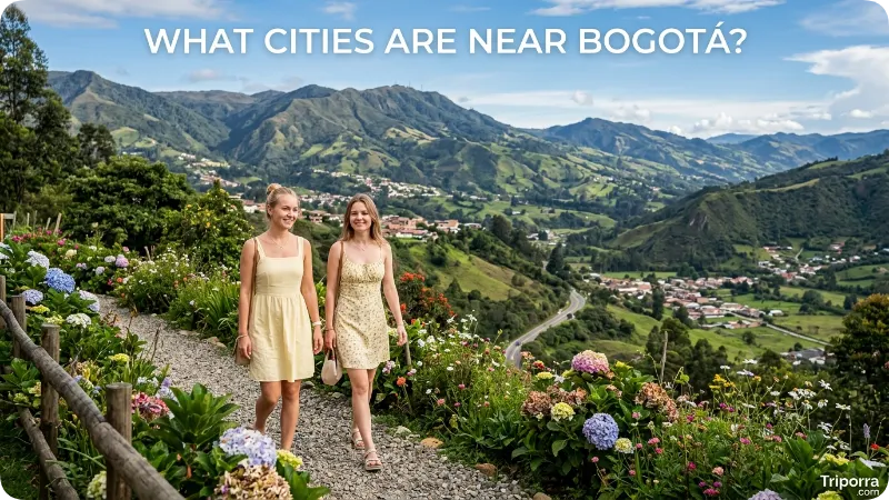
Bogotá is the dominant urban center in central Colombia. Several important Colombian cities are located in different directions from the capital.
Medellín
Medellín is about 160 miles west-northwest of Bogotá in a straight-line sense, although road travel covers a longer distance because of the mountainous terrain. The road distance is roughly 264 miles.
Medellín is another major Colombian city in the Andes, but it lies in a different mountain valley west of Bogotá.
Cali
Cali is roughly 175 miles southwest of Bogotá by air distance. The road distance is about 276 miles.
Cali is located farther southwest in Colombia and sits closer to the Pacific side of the country.
Cartagena
Cartagena is roughly 400 miles north of Bogotá in a straight line. It is located on Colombia’s Caribbean coast. Road distances are considerably longer because highways must follow the country’s terrain and road network.
This makes Cartagena a useful comparison: Bogotá is a high inland Andean capital, while Cartagena is a low-lying Caribbean coastal city.
Barranquilla
Barranquilla is roughly 425 miles north of Bogotá by air distance. It is another major city on Colombia’s Caribbean coast.
These comparisons show how centrally located Bogotá is within Colombia. The capital connects the country’s highland interior with major cities to the north, west, and southwest.
Is Bogotá Near the Caribbean Sea?
No. Bogotá is far inland from Colombia’s Caribbean coast.
Cities such as Cartagena and Barranquilla are on or near the Caribbean coast, while Bogotá lies high in the Andes. Cartagena, for example, is about 400 miles north of Bogotá as a straight-line distance.
This difference is important when looking at a map of Colombia. Bogotá is not a coastal capital. It is an inland mountain capital located on a high plateau.
Is Bogotá Near the Pacific Ocean?
Bogotá is also far inland from Colombia’s Pacific coast.
The city sits on the Eastern Cordillera, while Colombia’s Pacific coastal areas lie west of the main Andean mountain systems. The terrain between Bogotá and the Pacific includes major mountain ranges and valleys.
Cali provides a useful geographic reference because it lies southwest of Bogotá and is much closer to Colombia’s Pacific side.
What Time Zone Is Bogotá In?
Bogotá uses Colombia Time, which is UTC−5.
Colombia has one national time zone, and Bogotá remains on UTC−5 throughout the year. The city does not observe daylight saving time.
For U.S. readers, Bogotá’s time is generally one hour behind Eastern Daylight Time during the U.S. daylight-saving period. The difference changes when the United States changes its clocks because Colombia does not make a seasonal clock change.
What Are Bogotá’s Coordinates?
Bogotá is located at approximately:
4.6° N latitude, 74.1° W longitude
The Bogotá government lists the city’s position at approximately 4°35’56” north latitude and 74°04’51” west longitude.
These coordinates place Bogotá just north of the Equator and west of the prime meridian. The city’s exact boundary covers a larger area than a single coordinate point, so coordinates are best used as a general map reference.
Does Bogotá Have a County?
No. Bogotá does not have a county in the U.S. administrative sense.
Instead, it is organized as the Bogotá Capital District. The district is divided into 20 localities, which serve as important administrative subdivisions within the city.
This is different from the U.S. system, where a city may be located within a county. For Bogotá, the Capital District itself is the relevant administrative unit.
Why Is Bogotá Considered Central to Colombia?
Bogotá’s location helps explain its national importance. It is positioned in the central highlands and has connections to many parts of Colombia.
The city lies on a large plateau within the Andes, while major transportation routes connect it with other regions. Its central position also places it between Colombia’s Caribbean lowlands, Pacific side, eastern plains, and southern Andean areas.
Bogotá’s geographic setting therefore combines three useful reference points:
- Central Colombia — its position within the country.
- The Andes — its mountain and highland setting.
- The Bogotá Plateau — the specific physical area where the city is located.
Together, these features provide a clear mental map of where Bogotá is.
FAQs
What country is Bogotá in?
Bogotá is in Colombia, a country in northwestern South America. It is the capital of Colombia and the country’s main national government center.
Is Bogotá the capital of Colombia?
Yes. Bogotá is the national capital of Colombia. It is organized as the Bogotá Capital District.
Is Bogotá in Cundinamarca?
Bogotá is geographically surrounded by Cundinamarca Department, but the Bogotá Capital District has its own special administrative status. It is not an ordinary municipality within Cundinamarca.
What region is Bogotá in?
Bogotá is in Colombia’s Andean Region, on the Eastern Cordillera of the Andes and the Bogotá Plateau.
How high is Bogotá?
Bogotá is approximately 2,600 meters, or about 8,500 feet, above sea level.
Is Bogotá near Medellín?
Yes. Medellín is another major Colombian city in the Andes and lies about 160 miles west-northwest of Bogotá in a straight line. The road distance is longer because of the mountainous terrain.
Is Bogotá on the coast?
No. Bogotá is an inland city located high in the Andes. Colombia’s Caribbean and Pacific coastal areas are much farther away.
What time zone is Bogotá in?
Bogotá uses Colombia Time (UTC−5) and does not observe daylight saving time.
Conclusion
Bogotá is the capital of Colombia, located in the country’s central Andean highlands on the Bogotá Plateau. It sits in the Eastern Cordillera of the Andes at about 2,600 meters above sea level. The city forms the Bogotá Capital District and is surrounded by Cundinamarca Department. Its inland location, high elevation, and position in the Andes make Bogotá easy to identify on a map of Colombia and South America.

Silas Vance is a geography enthusiast, travel researcher, and location-focused content writer dedicated to helping readers better understand the world around them on triporra.com. He specializes in creating informative guides about cities, countries, islands, landmarks, universities, and other notable destinations. His work combines geographic accuracy, historical context, and practical insights to answer location-based questions in a simple and engaging way.










