
Introduction
The Atacama Desert is in northern Chile, along the Pacific coast of South America. It stretches across a broad desert zone between the Andes Mountains and the Pacific Ocean, with its core areas covering parts of northern Chile. The desert is associated with the regions of Arica and Parinacota, Tarapacá, Antofagasta, and Atacama, although definitions of its exact boundaries vary.
The desert lies west of the Andes and includes some of the driest landscapes on Earth. Major places associated with the Atacama include Antofagasta, Calama, Copiapó, Iquique, and San Pedro de Atacama. San Pedro is one of the best-known settlements within the desert area, while Calama serves as an important nearby urban center.
Geographically, the Atacama is not a city, state, or single administrative region. It is a large natural desert region in northern Chile. Its landscapes range from Pacific coastal desert to high Andean terrain, salt flats, volcanic mountains, valleys, and elevated lagoons.
Featured Snippet Answer
The Atacama Desert is located in northern Chile in South America, between the Pacific Ocean and the Andes Mountains. It extends across a large part of northern Chile, including areas around Antofagasta, Tarapacá, Atacama, and neighboring northern regions. San Pedro de Atacama and Calama are among its best-known nearby locations.
Quick Facts
| Fact | Information |
|---|---|
| Location | Northern Chile, South America |
| Country | Chile |
| Continent | South America |
| Geographic Type | Desert / natural geographic region |
| General Position | Between the Pacific Ocean and Andes Mountains |
| Main Chilean Regions | Arica and Parinacota, Tarapacá, Antofagasta, and Atacama |
| Nearby Major Cities | Antofagasta, Calama, Copiapó, Iquique |
| Well-Known Desert Town | San Pedro de Atacama |
| Nearby Country Borders | Peru to the north; Bolivia and Argentina to the east |
| Nearby Ocean | Pacific Ocean |
| Major Mountain System | Andes Mountains |
| Approximate Latitude | Roughly 17°–27° S, depending on the boundary used |
| Notable Geographic Features | Salar de Atacama, salt flats, volcanoes, highlands, and coastal desert |
| Known For | Extreme aridity and exceptionally clear skies |
| Time Zones | Chilean time zones apply; local time varies by location |
Where Is the Atacama Desert Located?

The Atacama Desert occupies northern Chile on the western side of South America. The Pacific Ocean lies to its west, while the Andes form a major geographic barrier to the east.
This position is important because the desert is not simply an empty area between two cities. It forms part of a much larger landscape that includes coastal plains, interior basins, mountain ranges, high plateaus, volcanoes, and salt flats.
Chile’s official tourism information identifies the Atacama as being in the country’s north and describes it as the world’s driest desert.
The desert’s exact boundaries can differ depending on how geographers define the Atacama Desert. Some descriptions focus on the central hyper-arid desert in northern Chile, while broader definitions include adjoining desert landscapes farther north and south.
What Country Is the Atacama Desert In?
The Atacama Desert is primarily in Chile.
Chile occupies a long, narrow strip along the western edge of South America. The Atacama forms much of the country’s northern desert landscape.
Northern Chile includes several administrative regions, so the desert does not correspond to one Chilean political division. Instead, it crosses or borders several regions and geographic zones. Historical and geographic sources commonly identify the major desert landscape with Tarapacá, Antofagasta, and Atacama, while broader descriptions of northern Chile include areas farther north.
This distinction matters because Atacama Desert and Atacama Region are not the same thing. The Atacama Region is an administrative division of Chile. The Atacama Desert is a natural geographic area.
Where Is the Atacama Desert on a Map?
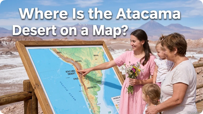
On a map of South America, look toward the far western side of the continent. Find Chile’s long Pacific coastline and then move north toward the country’s border with Peru.
The Atacama occupies much of the extremely dry territory between the Pacific coast and the Andes.
A simple mental map looks like this:
Pacific Ocean → coastal desert → interior desert basins → Andes Mountains → Bolivia and Argentina
Farther north, the desert landscape approaches the Peru–Chile border. Farther east, the high Andes separate northern Chile from Bolivia and Argentina.
This location also explains why many Atacama landscapes look different from the sandy deserts commonly pictured in other parts of the world. Large areas contain bare rock, gravel plains, salt deposits, mountains, volcanoes, and high-altitude basins rather than continuous sand dunes.
Which Part of Chile Is the Atacama Desert In?
The Atacama is in northern Chile, especially across the country’s northern desert belt.
Three major administrative regions are strongly associated with the traditional Atacama desert landscape:
- Tarapacá Region
- Antofagasta Region
- Atacama Region
Broader geographic descriptions can extend the northern desert environment into Arica and Parinacota and adjoining areas. Chilean geographic sources describe northern Chile as a predominantly arid zone and identify the country’s northern regions as part of this larger desert environment. (Memoria Chilena)
The Antofagasta Region contains some of the most recognizable Atacama landscapes, including the area around San Pedro de Atacama and the Salar de Atacama.
Is the Atacama Desert Near the Andes Mountains?
Yes. The Andes Mountains form the eastern side of the Atacama landscape.
The relationship between the desert and the Andes is one of the most important parts of its geography. Moving east from the Pacific coast, the land rises through desert terrain toward the Andes and the high-altitude plateau known as the Altiplano.
Some Atacama landscapes are therefore at very high elevations. For example, the Altiplanic Lagoons near San Pedro de Atacama are located at more than 4,100 meters above sea level.
The desert therefore includes much more than low, flat terrain. Its eastern areas contain volcanoes, salt flats, lagoons, mountains, and high plateaus.
Is the Atacama Desert Near the Pacific Ocean?
Yes. The Pacific Ocean borders the Atacama region to the west.
This gives the desert a distinctive coastal setting. In many areas, the dry landscape reaches toward the Pacific coastline, while mountains and interior desert basins rise farther inland.
Northern Chile’s geography is strongly shaped by the combination of the Pacific Ocean, coastal mountain ranges, interior desert areas, and the Andes.
The desert’s proximity to the ocean does not mean that it receives abundant rainfall. The Atacama is famous for its extreme dryness, and Chile’s official tourism authority describes it as the world’s driest desert.
What Cities Are Near the Atacama Desert?
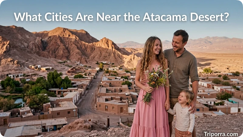
Several important Chilean cities are located in or near the wider Atacama desert zone.
Antofagasta
Antofagasta is a major coastal city in northern Chile. It sits directly along the Pacific coast in the Atacama landscape and is one of the most recognizable urban reference points for understanding the desert’s location.
The city developed within the northern desert environment and remains an important coastal and urban center.
Calama
Calama is an important inland city in northern Chile. It is particularly useful as a geographic reference because it connects the desert interior with the surrounding highland areas.
Calama is also the main airport gateway for visitors heading toward San Pedro de Atacama. Chile Travel places San Pedro about 100 kilometers from Calama along Route 23.
San Pedro de Atacama
San Pedro de Atacama is one of the best-known settlements within the Atacama Desert.
It sits near the Salar de Atacama and serves as a reference point for the desert’s high-altitude landscapes. The surrounding area includes salt flats, lagoons, volcanoes, and other Andean features.
Copiapó
Copiapó lies in the southern part of the broader Atacama desert landscape and is the regional center of Chile’s Atacama Region.
The desert continues into landscapes around Copiapó, including large dune fields and high Andean areas. Chile Travel identifies the Sea of Dunes near Copiapó as a major dune field within the Atacama Desert.
Iquique
Iquique is another major northern Chilean coastal city associated with the country’s desert environment. It lies in the Tarapacá Region, where extensive desert landscapes include the Pampa del Tamarugal.
How Far Is the Atacama Desert From Santiago?
Santiago, Chile’s capital, is far south of the Atacama Desert.
For a useful reference point, Chile Travel gives the road distance from Santiago to Calama at about 1,530 kilometers (950 miles). Calama is approximately 100 kilometers from San Pedro de Atacama.
Because the Atacama is a large region rather than a single point, the exact distance from Santiago varies depending on which part of the desert you are measuring.
How Far Is the Atacama Desert From Calama?
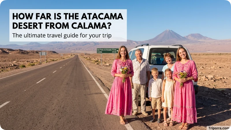
Calama is very close to the interior Atacama landscape.
San Pedro de Atacama is about 100 kilometers (62 miles) from Calama, generally to the southeast, along Route 23. Chile Travel lists the drive as roughly 1.5 hours under normal conditions.
This makes Calama one of the clearest reference points for locating the central Atacama area on a map.
Is the Atacama Desert Near Bolivia?
Yes. The eastern side of the Atacama Desert reaches toward the Bolivian border and the Andes.
The area around San Pedro de Atacama is especially close to Bolivia. From the desert, the landscape rises toward high Andean terrain before reaching the international border.
The relationship is easy to visualize:
Pacific Ocean → Atacama Desert → Andes/highlands → Bolivia
Some high-altitude Atacama landscapes are located close to the borders with both Bolivia and Argentina.
Is the Atacama Desert Near Argentina?
Yes. Argentina lies east of the Atacama region, beyond the Andes.
The eastern Atacama landscape includes high mountains, volcanoes, salt flats, and plateaus that form part of the wider Andean border region.
Chile Travel’s descriptions of the highland areas around the Atacama include routes and landscapes extending toward the Argentine border.
What Is the Geography of the Atacama Desert?
The Atacama is a complex geographic region rather than a single type of landscape.
Its western areas include coastal desert, while its interior contains broad valleys and dry basins. Farther east, the terrain rises into the Andes and high-altitude plateaus.
Important geographic features include:
- Pacific coastal desert
- Coastal mountain ranges
- Dry interior basins
- Salt flats
- Volcanoes
- High Andean plateaus
- Mountain valleys
- High-altitude lagoons
The Salar de Atacama is one of the most important features in the interior. Around San Pedro de Atacama, the landscape transitions from desert basins to very high Andean terrain. The nearby Miscanti and Miñiques lagoons, for example, sit more than 4,100 meters above sea level.
Why Is the Atacama Desert So Dry?
The Atacama is famous for its extreme aridity. Chile’s national tourism authority identifies it as the driest desert in the world, while National Geographic describes parts of the region as among the driest places on Earth.
Its geography plays an important role in this dryness. The desert lies between the Pacific and the Andes, and the surrounding atmospheric and topographic conditions strongly limit rainfall.
Not every part of the Atacama receives exactly the same amount of precipitation. Some areas can experience occasional rain, while the driest sections can go extremely long periods with little or no measurable rainfall.
What Natural Features Are Found in the Atacama Desert?
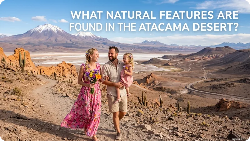
The desert contains several unusual geographic features.
Salar de Atacama
The Salar de Atacama is a large salt flat in the interior of northern Chile near San Pedro de Atacama. It is surrounded by high mountains and forms part of the desert’s distinctive basin landscape.
Atacama Salt Flats and Lagoons
Salt flats and high-altitude lagoons occur throughout the eastern desert and Andean areas. The Miscanti and Miñiques lagoons are examples of high-elevation water bodies surrounded by an extremely arid landscape.
Volcanoes
The eastern Atacama contains numerous high volcanic peaks. These mountains form part of the Andes and contribute to the dramatic elevation changes across the desert.
Dune Fields
The desert also contains large areas of sand dunes. Near Copiapó, Chile Travel identifies the Sea of Dunes as a dune field covering more than 300 square kilometers.
High Andean Wetlands
Despite its extreme dryness, parts of the high Atacama contain lagoons, salt flats, and wetlands that support specialized wildlife. Nevado Tres Cruces National Park, for example, includes high-altitude lagoons and salt flats within the Atacama Region.
What Region of South America Is the Atacama Desert In?
The Atacama Desert is in western South America, specifically in the northern part of Chile.
South America provides the larger geographic hierarchy:
South America → Chile → Northern Chile → Atacama Desert
The desert is part of the broader arid landscape of the continent’s Pacific side. Its northern and eastern surroundings connect geographically with Peru, Bolivia, and Argentina.
Does the Atacama Desert Extend Into Peru?
The answer depends on the geographic definition being used.
The core Atacama Desert is generally identified with northern Chile, while broader descriptions of the Atacama and associated desert landscapes extend northward toward Peru. Chilean historical geographic sources have also used the term for wider desert areas along the Pacific coast.
For a simple location answer, however, Chile is the country most directly associated with the Atacama Desert.
What Is the Best City to Use as a Reference for the Atacama Desert?

For the central inland Atacama, San Pedro de Atacama is one of the most useful geographic reference points.
It lies near the Salar de Atacama and the high Andes, and Chile Travel describes it as a gateway to the Atacama Desert.
For the broader northern desert, Antofagasta, Calama, Iquique, and Copiapó are also useful reference cities.
The best reference depends on which section of the desert you mean because the Atacama covers a very large area.
FAQs
What country is the Atacama Desert in?
The Atacama Desert is primarily in Chile, in northern South America. It occupies a large desert area between the Pacific Ocean and the Andes Mountains.
Where is the Atacama Desert on a map?
On a South America map, the Atacama is along the western side of the continent in northern Chile. The Pacific Ocean is west of the desert, while the Andes and the borders with Bolivia and Argentina are to the east.
Is the Atacama Desert near San Pedro de Atacama?
Yes. San Pedro de Atacama is within the Atacama Desert region and is one of the best-known settlements associated with the desert. It is near the Salar de Atacama and the high Andes.
Is the Atacama Desert near the Pacific Ocean?
Yes. The desert stretches along and inland from Chile’s Pacific coast. Its western side is strongly connected to the Pacific coastal landscape.
Is the Atacama Desert near Bolivia?
Yes. The eastern part of the desert reaches toward the Andes and the Bolivia–Chile border. The San Pedro de Atacama area is particularly close to the highland border region.
Is the Atacama Desert near Argentina?
Yes. Argentina is east of northern Chile, across the Andes. Some high-altitude Atacama landscapes are close to the Chile–Argentina border.
What major cities are near the Atacama Desert?
Important cities associated with the broader Atacama region include Antofagasta, Calama, Copiapó, and Iquique. San Pedro de Atacama is a smaller but particularly well-known settlement within the desert.
Is the Atacama Desert the driest desert in the world?
The Atacama is widely described as the driest desert in the world, and some of its areas are among the driest non-polar environments on Earth.
Conclusion
The Atacama Desert is in northern Chile, along the Pacific side of South America. Its main geographic setting is between the Pacific Ocean to the west and the Andes Mountains to the east. The desert includes extensive areas around Antofagasta, Calama, San Pedro de Atacama, Iquique, and Copiapó, with landscapes ranging from coastal desert to high Andean salt flats and volcanoes.

Silas Vance is a geography enthusiast, travel researcher, and location-focused content writer dedicated to helping readers better understand the world around them on triporra.com. He specializes in creating informative guides about cities, countries, islands, landmarks, universities, and other notable destinations. His work combines geographic accuracy, historical context, and practical insights to answer location-based questions in a simple and engaging way.










